Old Maps of Somerset, North Carolina for Academic Research
Study the evolution of Somerset with 10 high-resolution historic maps. Whether you're teaching, researching, or modeling changes in land use, these maps provide essential visual documentation of urban, environmental, and geographic change.
- Analyze long-term change: Track patterns in development, transportation, and natural features.
- Ideal for environmental or urban studies: Support academic projects with primary historical map data.
- Use in the classroom or lab: Educators and researchers rely on these maps to bring historical context to life.
These maps are a powerful tool for teaching, research, and visualizing how Somerset has changed over the decades.
Somerset, NC maps
(10)- 1906 Map of Hertford
 1906 Hertford1906 Print · USGSThe coastal plains of North Carolina near the Albemarle Sound are captured here during a period of river-reliant commerce and early rail growth. Researchers can trace the waterfront legacy of Hertford, the routes of the Norfolk and Southern RR, and rural post offices like Durants Neck PO.3 unique versions available
 - 1940 Map of Hertford
 1940 Hertford1940 Print · USGSThe coastal necks of Perquimans County are caught here in the early 1940s, showing a landscape defined by its deep relationship with the Albemarle Sound. Researchers can trace the waterfront history of Hertford or locate rural sites like the Durants Neck P O and Pleasant Grove Church.2 unique versions available
 - 1953 Map of Norfolk, 1954 Print
 1953 Norfolk1954 Print · USGSCoastal Virginia and northeastern North Carolina appear here during the post-war industrial boom, showing the critical rail-and-sea connections of Hampton Roads. Genealogists can trace family roots through rural landmarks like Gethsemane Ch, the Caledonia State Prison Farm, and the vast interior of the Dismal Swamp.4 unique versions available
 - 1982 Map of Yeopim River
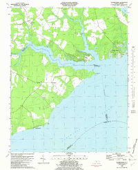 1982 Yeopim River1982 Print · USGSCoastal North Carolina in the early eighties shows a landscape of riverfront growth and quiet rural tradition. Researchers can trace family-named sites like Philips Landing and Nixons Beach or locate old community centers such as New Haven Ch.
 - 1985 Map of Elizabeth City
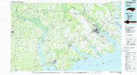 1985 Elizabeth City1985 Print · USGSCoastal North Carolina's rivers and sounds define the landscape of the mid-eighties, from the vast swamps to the historical waterfronts of Elizabeth City and Edenton. Researchers can trace the rail lines of the Southern Ry or locate landmarks like Beaver Hill Cem and South Mills.2 unique versions available
 - 2010 Map of Yeopim River, 2010 Print
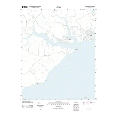 2010 Yeopim River2010 Print · USGSThe Yeopim River waterfront in the early twenty-first century shows a blend of established settlements and newer residential enclaves. Researchers can trace land tracts near Philips Cemetery, locate old maritime markers like Laurel Point Light House, and explore the developed shorelines of Snug Harbor.
 - 2013 Map of Yeopim River, 2013 Print
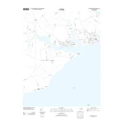 2013 Yeopim River2013 Print · USGSThe Yeopim River shoreline comes into focus in this early twenty-first-century survey of the North Carolina coast. Genealogists and historians can trace coastal settlements like Snug Harbor, identify maritime landmarks such as the Laurel Point Light House, and locate family land near Somerset.
 - 2016 Map of Yeopim River, 2016 Print
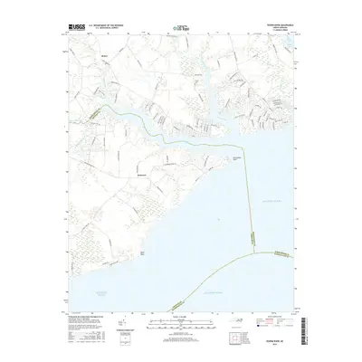 2016 Yeopim River2016 Print · USGSThe North Carolina coast at the confluence of the Yeopim and Perquimans rivers is detailed here during the mid-2010s. Local researchers can trace family landmarks like Philips Cem and the small settlements of Somerset and Bethel near the shores of Halsey Bay.
 - 2019 Map of Yeopim River, 2019 Print
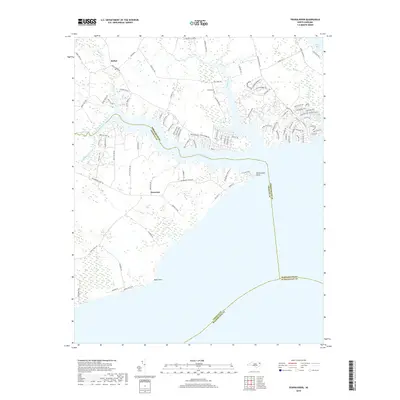 2019 Yeopim River2019 Print · USGSThe Inner Banks of Chowan and Perquimans counties are captured here in the late 2010s as the Yeopim River meets the sound. Researchers can locate the historic landing at Drummond Point, trace family ties at Philips Cem, and map the small communities of Somerset and Bethel.
 - 2022 Map of Yeopim River, 2022 Print
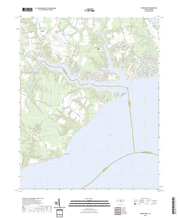 2022 Yeopim River2022 Print · USGSThe coastal interface of Perquimans and Chowan counties is documented here as the river enters the sound. Researchers can trace family sites near Bethel and Somerset, locate the Philips Cem, and map the shorelines of Halsey Bay and Drummonds Point.
End of results
Showing maps 1-10 of 10
Top cities near Somerset
- Elizabeth City historical maps
- Edenton historical maps
- Hertford historical maps
- Columbia historical maps
- Winfall historical maps
- Roper historical maps
Frequently asked questions
- What are the different types of historical maps available for Somerset?
- What is the oldest map of Somerset?
- Where can I purchase historical maps of Somerset for my home or office?
- Where can I download high-res historical maps of Somerset?
- Are there historical topographic maps available for Somerset?
- Is there historical aerial imagery available for Somerset?
- Where are historical maps of Somerset sourced from?