Old Maps of Clewis Corner, North Carolina for Genealogy
Trace your family roots with 11 historic maps of Clewis Corner. These high-res maps reveal old neighborhoods, homesites, landmarks, and streets — helping you uncover where your ancestors lived and how the area evolved over time.
- Explore historic neighborhoods: Identify where your relatives may have lived in the 1800s or 1900s.
- Compare maps over time: Trace the changes in streets, buildings, and landmarks for multi-generational research.
- Perfect for genealogy & ancestry research: Used by family historians and researchers to map out lineage and migration.
These maps are an incredible resource for exploring your personal connection to Clewis Corner's past.
Clewis Corner, NC maps
(11)- 1942 Map of Juniper Creek, 1962 Print
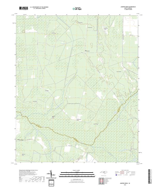
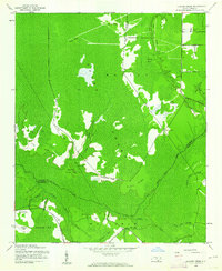 1942 Juniper Creek1962 Print · USGSThe North Carolina coastal plain in the early 1940s reveals a world of vast swamp forests and isolated ridge settlements. Researchers can locate the Waccamaw Institute and trace old family landmarks like Clewis Corner or Bennett Little Field.
 - 1953 Map of Florence, 1964 Print
 1953 Florence1964 Print · USGSThe Carolina borderlands in the mid-fifties were a landscape of vast river swamps and rising rail towns. Trace the legacy of the Seaboard Air Line through Florence or explore the wetlands surrounding Lake Waccamaw and the Green Swamp.3 unique versions available
 - 1954 Map of Florence
 1954 Florence1954 Print · USGSThe Carolinas borderlands come alive in the early fifties, showing the vital rail-and-river networks of the coastal plain. Genealogists can trace family footprints across the Green Swamp or through settlements like Red Springs, Chadbourn, and McColl.
 - 1986 Map of Whiteville
 1986 Whiteville1986 Print · USGSSoutheastern North Carolina and the South Carolina borderlands are captured here in the mid-1980s as a landscape of vast swamps and rail towns. Researchers can trace historic rail routes through Chadbourn, locate the namesake Lake Waccamaw, and explore family-named sites like Peacocks.
 - 1990 Map of Whiteville
 1990 Whiteville1990 Print · USGSSoutheastern North Carolina and the South Carolina borderlands appear in the late twentieth century, showing a landscape of river-swamps and tobacco towns. Researchers can trace family history through sites like Mount Olive Ch, the Seaboard Coast Line RR, and rural centers like Tabor City.
 - 1990 Map of Juniper Creek, 1991 Print
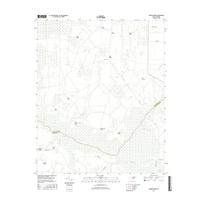
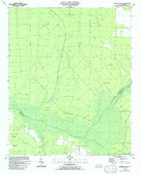 1990 Juniper Creek1991 Print · USGSThe coastal lowlands of Columbus County were captured in the early nineties, revealing a landscape defined by the vast Green Swamp and its surrounding ridges. Genealogists can trace small crossroads like Clewis Corner or search for family landmarks at Cox Ridge and Myrtle Head.
 - 2010 Map of Juniper Creek, 2010 Print
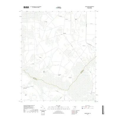
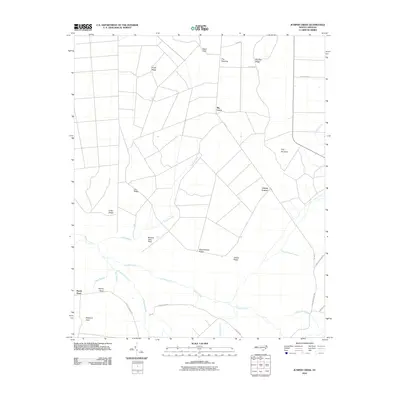 2010 Juniper Creek2010 Print · USGSCovers Clewis Corner, including Big Curve, Myrtle Head, and other nearby areas
 - 2013 Map of Juniper Creek, 2013 Print
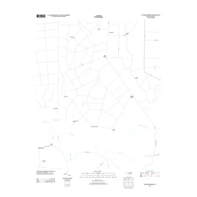 2013 Juniper Creek2013 Print · USGSCovers Clewis Corner, including Big Curve, Myrtle Head, and other nearby areas
 - 2016 Map of Juniper Creek, 2016 Print
 2016 Juniper Creek2016 Print · USGSCovers Clewis Corner, including Big Curve, Myrtle Head, and other nearby areas
 - 2019 Map of Juniper Creek, 2019 Print
 2019 Juniper Creek2019 Print · USGSCovers Clewis Corner, including Big Curve, Myrtle Head, and other nearby areas
 - 2022 Map of Juniper Creek, 2022 Print
 2022 Juniper Creek2022 Print · USGSThe Green Swamp wilderness at the Columbus and Brunswick county line is captured here in the early twenty-first century, revealing an intricate network of wetlands and ridges. Researchers can trace historic access routes like Tram Rd or locate family-named landmarks such as Schoolhouse Ridge and Grays Ridge.
End of results
Showing maps 1-11 of 11
Top cities near Clewis Corner
- Shallotte historical maps
- Lake Waccamaw historical maps
- Northwest historical maps
- East Arcadia historical maps
- Bolton historical maps
- Sandyfield historical maps
Frequently asked questions
- What are the different types of historical maps available for Clewis Corner?
- What is the oldest map of Clewis Corner?
- Where can I purchase historical maps of Clewis Corner for my home or office?
- Where can I download high-res historical maps of Clewis Corner?
- Are there historical topographic maps available for Clewis Corner?
- Is there historical aerial imagery available for Clewis Corner?
- Where are historical maps of Clewis Corner sourced from?