Old Maps of Dulah, North Carolina for Academic Research
Study the evolution of Dulah with 12 high-resolution historic maps. Whether you're teaching, researching, or modeling changes in land use, these maps provide essential visual documentation of urban, environmental, and geographic change.
- Analyze long-term change: Track patterns in development, transportation, and natural features.
- Ideal for environmental or urban studies: Support academic projects with primary historical map data.
- Use in the classroom or lab: Educators and researchers rely on these maps to bring historical context to life.
These maps are a powerful tool for teaching, research, and visualizing how Dulah has changed over the decades.
Dulah, NC maps
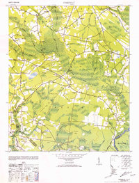
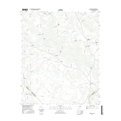
(12)- 1943 Map of Pireway
 1943 Pireway1943 Print · USGSCoastal Carolina and the borderlands near the Waccamaw River appear here during the wartime years, showing a landscape defined by expansive swamps and rural bay formations. Genealogists can trace family roots through the Dothans Sch, the Old Tram Road, and local landmarks like Dulah Mormon Church.
 - 1953 Map of Pireway
 1953 Pireway1953 Print · USGSCoastal North Carolina near the South Carolina border was a landscape of intricate wetlands and small farmsteads in the early 1950s. Genealogists and local researchers can trace the locations of Dothans Sch, the Riverside Ch, and the remote community of Bughill.2 unique versions available
 - 1953 Map of Florence, 1964 Print
 1953 Florence1964 Print · USGSThe Carolina borderlands in the mid-fifties were a landscape of vast river swamps and rising rail towns. Trace the legacy of the Seaboard Air Line through Florence or explore the wetlands surrounding Lake Waccamaw and the Green Swamp.3 unique versions available
 - 1954 Map of Florence
 1954 Florence1954 Print · USGSThe Carolinas borderlands come alive in the early fifties, showing the vital rail-and-river networks of the coastal plain. Genealogists can trace family footprints across the Green Swamp or through settlements like Red Springs, Chadbourn, and McColl.
 - 1986 Map of Whiteville
 1986 Whiteville1986 Print · USGSSoutheastern North Carolina and the South Carolina borderlands are captured here in the mid-1980s as a landscape of vast swamps and rail towns. Researchers can trace historic rail routes through Chadbourn, locate the namesake Lake Waccamaw, and explore family-named sites like Peacocks.
 - 1990 Map of Whiteville
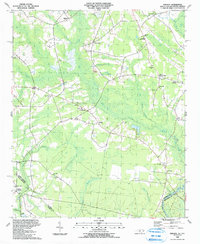
 1990 Whiteville1990 Print · USGSSoutheastern North Carolina and the South Carolina borderlands appear in the late twentieth century, showing a landscape of river-swamps and tobacco towns. Researchers can trace family history through sites like Mount Olive Ch, the Seaboard Coast Line RR, and rural centers like Tabor City.
 - 1990 Map of Pireway, 1991 Print
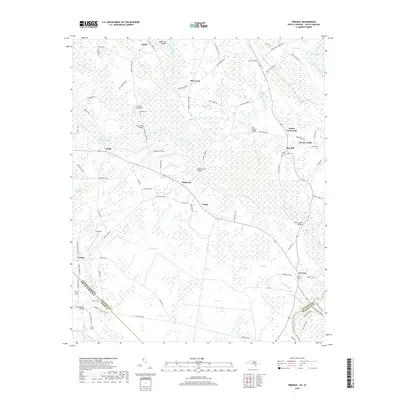
 1990 Pireway1991 Print · USGSCoastal plain wetlands and small rural settlements define this borderland region in the early nineties. Researchers can trace family history through numerous landmarks like Butler Crossroads, Nakina High Sch, and the Marlowe Cem near the Waccamaw River.
 - 2011 Map of Pireway, 2011 Print
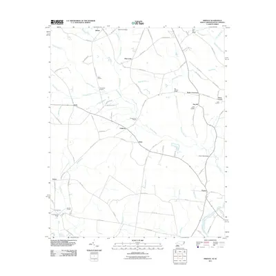 2011 Pireway2011 Print · USGSCovers Dulah, including Bug Hill, Bethel, and other nearby areas
 - 2013 Map of Pireway, 2013 Print
 2013 Pireway2013 Print · USGSCovers Dulah, including Bug Hill, Bethel, and other nearby areas
 - 2016 Map of Pireway, 2016 Print
 2016 Pireway2016 Print · USGSCovers Dulah, including Bug Hill, Bethel, and other nearby areas
 - 2019 Map of Pireway, 2019 Print
 2019 Pireway2019 Print · USGSCovers Dulah, including Bug Hill, Bethel, and other nearby areas
 - 2022 Map of Pireway, 2022 Print
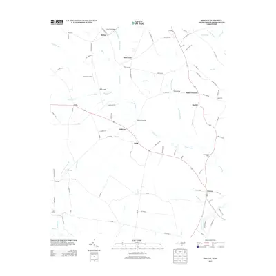
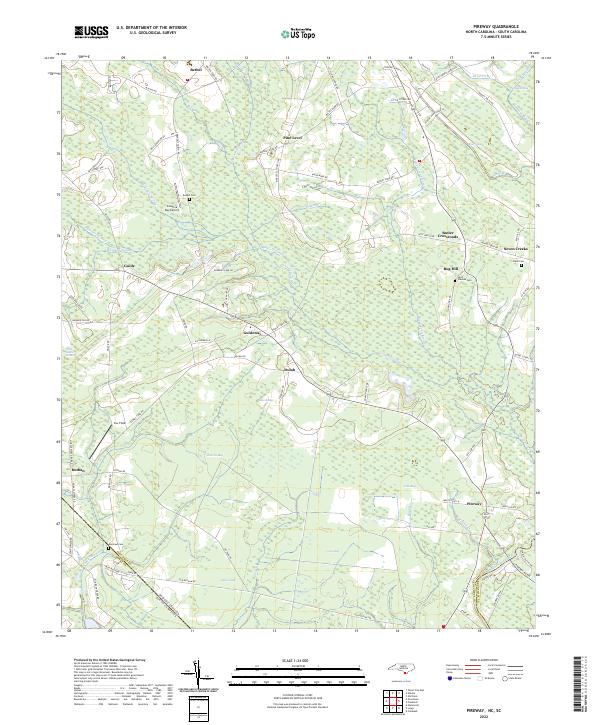 2022 Pireway2022 Print · USGSIn the early twenty-first century, this coastal plain landscape on the Carolina border remains defined by its unique wetlands and rural hamlets. Researchers can trace family history through sites like Bethel Cem and Marlowe Cem or explore the geography of Jenrette Bay and Pireway.
End of results
Showing maps 1-12 of 12
Top cities near Dulah
- North Myrtle Beach historical maps
- Tabor City historical maps
- Loris historical maps
- Sunset Beach historical maps
- Carolina Shores historical maps
- Lake Waccamaw historical maps
See more
Frequently asked questions
- What are the different types of historical maps available for Dulah?
- What is the oldest map of Dulah?
- Where can I purchase historical maps of Dulah for my home or office?
- Where can I download high-res historical maps of Dulah?
- Are there historical topographic maps available for Dulah?
- Is there historical aerial imagery available for Dulah?
- Where are historical maps of Dulah sourced from?