Old Maps of Spring Lake, North Carolina for Genealogy
Trace your family roots with 21 historic maps of Spring Lake. These high-res maps reveal old neighborhoods, homesites, landmarks, and streets — helping you uncover where your ancestors lived and how the area evolved over time.
- Explore historic neighborhoods: Identify where your relatives may have lived in the 1800s or 1900s.
- Compare maps over time: Trace the changes in streets, buildings, and landmarks for multi-generational research.
- Perfect for genealogy & ancestry research: Used by family historians and researchers to map out lineage and migration.
These maps are an incredible resource for exploring your personal connection to Spring Lake's past.
Spring Lake, NC maps
(21)- 1948 Map of Fayetteville, 1954 Print
 1948 Fayetteville1954 Print · USGSFayetteville and its sprawling military neighbor are caught here just after the war, showing the area's mix of urban growth and rural heritage. Genealogists can locate family landmarks like Bonnie Doone and Magnolia Ch, or trace the rails of the Atlantic Coast Line.
 - 1948 Map of Clifdale, 1967 Print
 1948 Clifdale1967 Print · USGSHoke and Cumberland Counties appear just after World War II, showing the vast footprint of the Fort Bragg Military Reservation. Local historians can trace old community landmarks like Longstreet Church, the Atlantic Coast Line railroad, and the Frys Mission School.
 - 1950 Map of Manchester
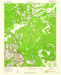
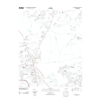
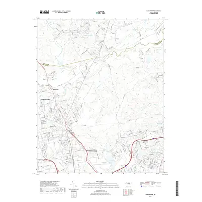
 1950 Manchester1950 Print · USGSMid-century Cumberland County is captured here during a period of significant military growth and rail activity. Researchers can trace the development of Fort Bragg alongside civilian landmarks like Manchester Spring Lake PO and Bethel Ch.
 - 1951 Map of Clifdale
 1951 Clifdale1951 Print · USGSMid-century Hoke and Cumberland counties are defined here by the growth of the Fort Bragg Military Reservation. Genealogists and historians can trace older community landmarks like Longstreet Church, the Aberdeen & Rockfish RR, and the Frys Mission School.
 - 1953 Map of Raleigh, 1965 Print
 1953 Raleigh1965 Print · USGSCentral North Carolina in the early sixties shows a landscape of growing towns and military hubs before the full expansion of the interstate system. Genealogists can trace family footprints across the Piedmont through Wake Forest, Siler City, and the large Fort Bragg Military Reservation.4 unique versions available
 - 1954 Map of Raleigh
 1954 Raleigh1954 Print · USGSThe North Carolina Piedmont and Sandhills are captured in the mid-fifties during a period of steady regional growth. Genealogists and historians can trace the development of towns like Siler City or locate landmarks such as Falls of Neuse and Camp Mackall.
 - 1957 Map of Manchester, 1960 Print
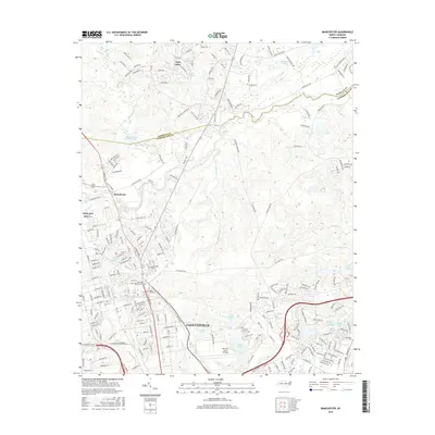
 1957 Manchester1960 Print · USGSThe Fort Bragg and Pope Air Force Base area is shown here during a period of mid-century expansion. Genealogists and historians can trace the intersection of military and civilian life at Manchester, Spring Lake, and Raksam Chapel.4 unique versions available
 - 1957 Map of Fayetteville, 1961 Print
 1957 Fayetteville1961 Print · USGSThe Cape Fear River valley and Fayetteville's growing suburbs are captured here in the late fifties, showing the expanding footprint of the Fort Bragg Military Reservation. Genealogists can trace early neighborhood development and rural landmarks like Lakedale, Manchester, and Central High Sch.2 unique versions available
 - 1957 Map of Overhills, 1973 Print
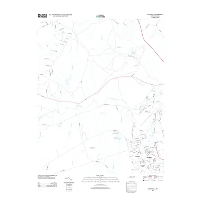
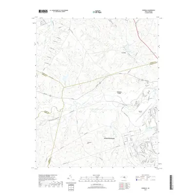
 1957 Overhills1973 Print · USGSCumberland and Harnett Counties are shown during a period of significant military expansion in the mid-fifties. Genealogists and historians can trace the development of Pope Air Force Base, locate the Murray Sch, or follow the Seaboard Coast Line through Overhills.
 - 1976 Map of Manchester, 1978 Print
 1976 Manchester1978 Print · USGSThe Fort Bragg military post and nearby Manchester are captured in this mid-seventies aerial survey. Researchers can trace the development of Fort Bragg and explore the residential layouts of Manchester and Twin Lakes.
 - 1982 Map of Southern Pines, 1983 Print
 1982 Southern Pines1983 Print · USGSCentral North Carolina in the early eighties shows a landscape defined by military expansion and historic rail corridors. Researchers can trace the legacy of the Seaboard Coast Line through Pinehurst or locate landmarks like the Town Creek Indian Mound State Historic Site.
 - 1986 Map of Fayetteville
 1986 Fayetteville1986 Print · USGSThe North Carolina coastal plain appears in the mid-1980s as a bustling corridor of military installations and historic tobacco towns. Genealogists and historians can trace the footprints of Fort Bragg Military Reservation, Campbell University, and the rail lines of the Seaboard Coast Line RR.2 unique versions available
 - 1997 Map of Manchester, 2000 Print
 1997 Manchester2000 Print · USGSCumberland County at the end of the century shows the significant footprint of the Fort Bragg Military Reservation alongside growing local communities. Researchers can locate established neighborhoods in Spring Lake, rural landmarks like Bethel Ch, and industrial sites such as Fort Junction.
 - 2013 Map of Overhills, 2013 Print
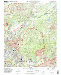
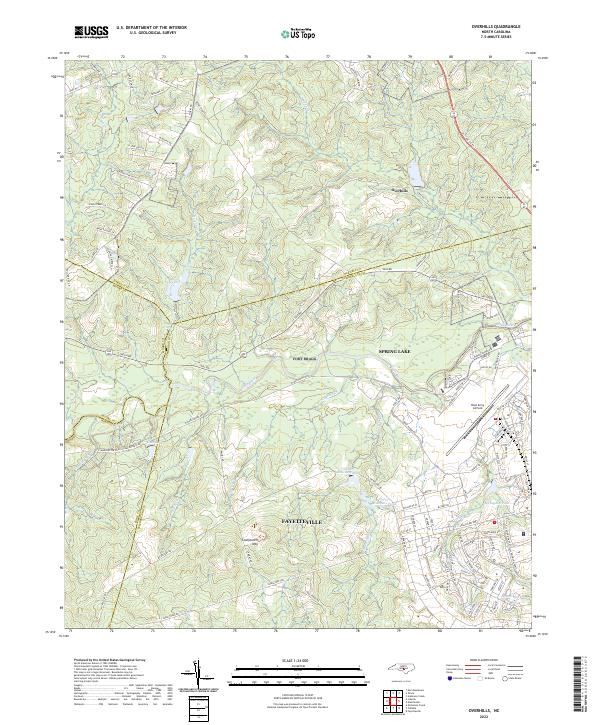
 2013 Overhills2013 Print · USGSCovers Spring Lake, including Hammond Hills, Overhills, and other nearby areas
 - 2013 Map of Manchester, 2013 Print
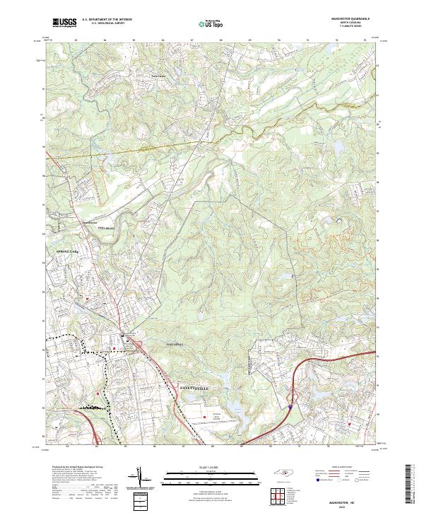
 2013 Manchester2013 Print · USGSCovers Spring Lake, including Fayetteville, Twin Lakes, and other nearby areas
 - 2016 Map of Overhills, 2016 Print
 2016 Overhills2016 Print · USGSCovers Spring Lake, including Hammond Hills, Overhills, and other nearby areas
 - 2016 Map of Manchester, 2016 Print
 2016 Manchester2016 Print · USGSCovers Spring Lake, including Fayetteville, Twin Lakes, and other nearby areas
 - 2019 Map of Manchester, 2019 Print
 2019 Manchester2019 Print · USGSCovers Spring Lake, including Fayetteville, Twin Lakes, and other nearby areas
 - 2019 Map of Overhills, 2019 Print
 2019 Overhills2019 Print · USGSCovers Spring Lake, including Hammond Hills, Overhills, and other nearby areas
 - 2022 Map of Manchester, 2022 Print
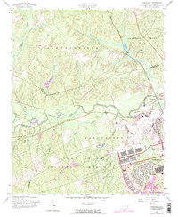
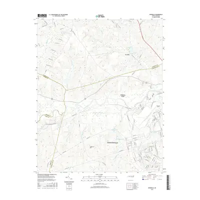
 2022 Manchester2022 Print · USGSCumberland County’s military and civilian life intersect north of Fayetteville in the early 2020s. Researchers can locate family landmarks at the Sandhills State Veterans Cem and trace the development around Spring Lake and Simmons Army Airfield.
 - 2022 Map of Overhills, 2022 Print
 2022 Overhills2022 Print · USGSThe crossroads where Cumberland, Harnett, Hoke, and Moore counties meet are captured here during a period of steady military and suburban growth. Researchers can trace family names along McRae Ridge Rd or explore the hydrography of McFayden Pond and Pope Army Airfield.
End of results
Showing maps 1-21 of 21
Top cities near Spring Lake
- Fayetteville historical maps
- Sanford historical maps
- Linden Oaks historical maps
- Hope Mills historical maps
- Raeford historical maps
- Lillington historical maps
See more
Top neighborhoods of Spring Lake
Frequently asked questions
- What are the different types of historical maps available for Spring Lake?
- What is the oldest map of Spring Lake?
- Where can I purchase historical maps of Spring Lake for my home or office?
- Where can I download high-res historical maps of Spring Lake?
- Are there historical topographic maps available for Spring Lake?
- Is there historical aerial imagery available for Spring Lake?
- Where are historical maps of Spring Lake sourced from?