2000s (21st Century) Maps of Duck, North Carolina
Explore 10 historic maps of Duck from the 2000s (21st Century). These maps offer a rare glimpse into what life looked like during the 2000s — showing old roads, neighborhoods, homes, and landmarks that have changed or disappeared over time.
Whether you're researching your family's past, planning a metal detecting trip, or studying how Duck's landscape evolved across the 2000s, these high-resolution maps are a powerful tool for exploring the history of this region.
- Focus on a specific era: All maps on this page are from the 2000s, giving you a focused view of this time period.
- See what’s changed: Compare century-old streets, trails, and buildings to today's modern landscape using overlays and satellite layers.
- Research with precision: Use these maps for genealogy, historical research, land use analysis, or educational projects.
- View, download, or print: Maps are fully viewable online in high resolution, and can be downloaded or printed for your own records.
Start exploring Duck's history through authentic maps from the 2000s. This is your window into the past.
Duck, NC maps
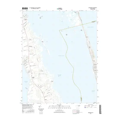
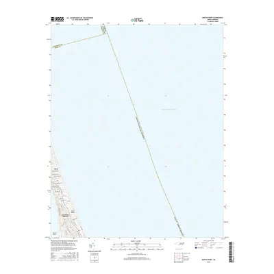
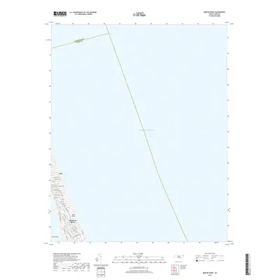
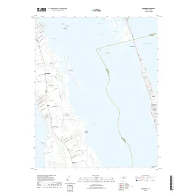
(10)- 2010 Map of Martin Point, 2010 Print
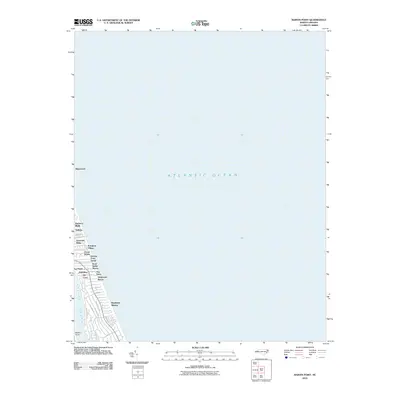 2010 Martin Point2010 Print · USGSCovers Duck, including Southern Shores, Jay Crest, and other nearby areas
 - 2010 Map of Jarvisburg, 2010 Print
 2010 Jarvisburg2010 Print · USGSCovers Duck, including Jarvisburg, Sea Ridge, and other nearby areas
 - 2013 Map of Jarvisburg, 2013 Print
 2013 Jarvisburg2013 Print · USGSCovers Duck, including Jarvisburg, Sea Ridge, and other nearby areas
 - 2013 Map of Martin Point, 2013 Print
 2013 Martin Point2013 Print · USGSCovers Duck, including Southern Shores, Jay Crest, and other nearby areas
 - 2016 Map of Jarvisburg, 2016 Print
 2016 Jarvisburg2016 Print · USGSCovers Duck, including Jarvisburg, Sea Ridge, and other nearby areas
 - 2016 Map of Martin Point, 2016 Print
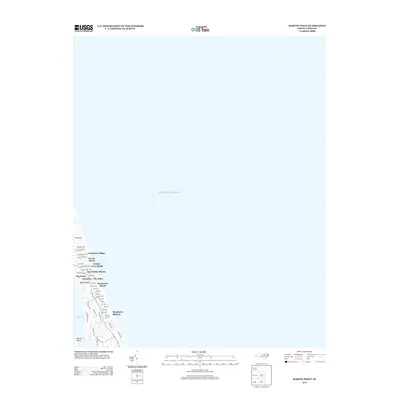
 2016 Martin Point2016 Print · USGSCovers Duck, including Southern Shores, Jay Crest, and other nearby areas
 - 2019 Map of Martin Point, 2019 Print
 2019 Martin Point2019 Print · USGSCovers Duck, including Southern Shores, Jay Crest, and other nearby areas
 - 2019 Map of Jarvisburg, 2019 Print
 2019 Jarvisburg2019 Print · USGSCovers Duck, including Jarvisburg, Sea Ridge, and other nearby areas
 - 2022 Map of Martin Point, 2022 Print
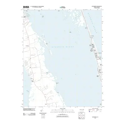
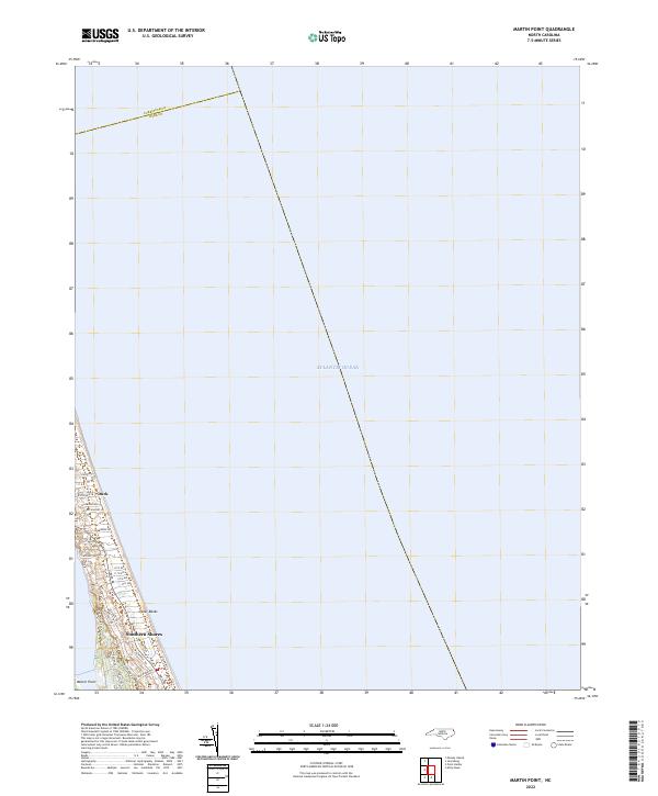 2022 Martin Point2022 Print · USGSThe northern reaches of the Outer Banks are shown in detail during the early 2020s, highlighting the coastal communities of Duck and Southern Shores. Local historians can trace the modern development of this barrier island along Duck Rd and Martin Point.
 - 2023 Map of Jarvisburg, 2023 Print
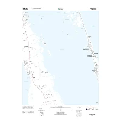
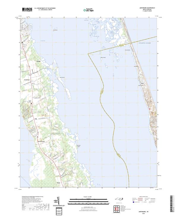 2023 Jarvisburg2023 Print · USGSCoastal Currituck County and the northern barrier islands are detailed here during their modern era of development. Genealogists and local historians can trace family sites like the Barco Family Cem or explore the geography of Jarvisburg, Mamie, and Duck.
End of results
Showing maps 1-10 of 10
Top cities near Duck
- Kill Devil Hills historical maps
- Kitty Hawk historical maps
- Nags Head historical maps
- Grandy historical maps
- Southern Shores historical maps
- Coinjock historical maps
Top neighborhoods of Duck
- Osprey historical maps
- The Tides historical maps
- Wild Duck Dunes historical maps
- Saltaire historical maps
- Carolina Dunes historical maps
- Sea Ridge historical maps
See more
Frequently asked questions
- What are the different types of historical maps available for Duck?
- What is the oldest map of Duck?
- Where can I purchase historical maps of Duck for my home or office?
- Where can I download high-res historical maps of Duck?
- Are there historical topographic maps available for Duck?
- Is there historical aerial imagery available for Duck?
- Where are historical maps of Duck sourced from?