Old Maps of Durham, North Carolina for Academic Research
Study the evolution of Durham with 73 high-resolution historic maps. Whether you're teaching, researching, or modeling changes in land use, these maps provide essential visual documentation of urban, environmental, and geographic change.
- Analyze long-term change: Track patterns in development, transportation, and natural features.
- Ideal for environmental or urban studies: Support academic projects with primary historical map data.
- Use in the classroom or lab: Educators and researchers rely on these maps to bring historical context to life.
These maps are a powerful tool for teaching, research, and visualizing how Durham has changed over the decades.
Durham, NC maps
(73)- 1943 Map of Durham South
 1943 Durham South1943 Print · USGSDurham and its southern reaches are captured here in the early 1940s, showing a tobacco-and-rail landscape at its peak. Genealogists and local historians can trace legacy sites like Beechwood Cem, Lowes Grove, and Roger Grove Ch.2 unique versions available
 - 1946 Map of Chapel Hill, 1958 Print
 1946 Chapel Hill1958 Print · USGSMid-century Chapel Hill and Carrboro emerge from the post-war era as significant academic and transit hubs. Researchers can trace the layout of early neighborhoods, local family burials at Cheek Cem, and rural sites like Mason Farm or Horace Williams Airport.2 unique versions available
 - 1947 Map of Chapel Hill
 1947 Chapel Hill1947 Print · USGSPost-war North Carolina comes into focus through this survey of Chapel Hill and Carrboro. Genealogists and historians can trace family roots through landmarks like Morris Grove Sch, Partin Cem, and the rural settlement at Blackwood.2 unique versions available
 - 1951 Map of Durham South, 1953 Print
 1951 Durham South1953 Print · USGSThe mid-century landscape south of Durham shows a region on the cusp of modernization as the airport and highway networks began to expand. Genealogists and historians can locate rural landmarks such as Pearsontown, Lowes Grove, and Holland Chapel among the busy rail corridors of the Norfolk Southern.3 unique versions available
 - 1951 Map of Durham North, 1953 Print
 1951 Durham North1953 Print · USGSThe northern reaches of Durham and Orange Counties are captured here in the early fifties, just as post-war development began to meet the region's agricultural roots. Genealogists can trace family landmarks like the Duke Homestead and rural hubs such as Bahama, Rougemont, and the Orange Factory.3 unique versions available
 - 1953 Map of Raleigh, 1965 Print
 1953 Raleigh1965 Print · USGSCentral North Carolina in the early sixties shows a landscape of growing towns and military hubs before the full expansion of the interstate system. Genealogists can trace family footprints across the Piedmont through Wake Forest, Siler City, and the large Fort Bragg Military Reservation.4 unique versions available
 - 1953 Map of Greensboro, 1981 Print
 1953 Greensboro1981 Print · USGSThe Piedmont borderlands of North Carolina and Virginia show a landscape defined by new reservoirs and old rail lines. Trace family roots and the changing river geography through Elon College, the John H Kerr Reservoir, and South Boston.
 - 1954 Map of Greensboro
 1954 Greensboro1954 Print · USGSThe Piedmont borderlands of North Carolina and Virginia come alive in this mid-fifties study of a region defined by its rivers and rails. Researchers can trace the growing Buggs Island Lake or follow the paths of the Southern Ry and Seaboard Air Line RR through towns like Oxford and Reidsville.
 - 1954 Map of Raleigh
 1954 Raleigh1954 Print · USGSThe North Carolina Piedmont and Sandhills are captured in the mid-fifties during a period of steady regional growth. Genealogists and historians can trace the development of towns like Siler City or locate landmarks such as Falls of Neuse and Camp Mackall.
 - 1962 Map of Greensboro
 1962 Greensboro1962 Print · USGSThe Piedmont region along the Virginia and North Carolina border comes alive in the early 1960s, showing a landscape defined by industry and new reservoirs. Trace the path of the Virginian RR or explore the early development of Greensboro and Durham.
 - 1966 Map of Greensboro
 1966 Greensboro1966 Print · USGSThe North Carolina and Virginia Piedmont thrives during the mid-sixties, showcasing a landscape of textile hubs and expanding river reservoirs. Researchers can trace the rail corridors of the Southern Railway, find local landmarks like Elon College, or locate the extensive Camp Butner Military Reservation.
 - 1973 Map of Cary, 1975 Print
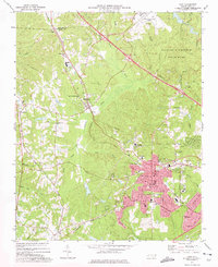 1973 Cary1975 Print · USGSCary and its neighboring communities are shown during a decade of growth as the Research Triangle region expanded in the early seventies. Genealogists and historians can locate family landmarks such as Hill Crest Cem, Christa Sanctified Holy Ch, and the rural crossing at Morrisville.5 unique versions available
 - 1973 Map of Green Level, 1975 Print
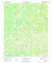 1973 Green Level1975 Print · USGSThe North Carolina Piedmont is captured here during the mid-seventies, showing the early stages of Lake B Everett Jordan. Researchers can trace old family landmarks and community hubs like Green Level, Marthas Chapel, and O'Kellys Ch.2 unique versions available
 - 1973 Map of Northeast Durham, 1975 Print
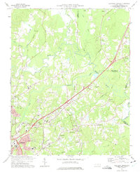 1973 Northeast Durham1975 Print · USGSNortheast of Durham in the early seventies, the landscape was defined by the merging of the Eno and Neuse rivers. Genealogists can trace family names at Oak Grove Memorial Gardens or locate rural landmarks like Gorman, Fairntosh, and Union Chapel.4 unique versions available
 - 1973 Map of Northwest Durham, 1975 Print
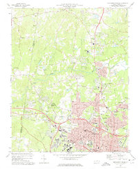 1973 Northwest Durham1975 Print · USGSThe northern edge of Durham and its rural periphery come into focus as the city’s post-war suburbs push toward the Eno River. Researchers can trace the layout of Duke University or locate family markers at McMannen Cem Ch and Cains Chapel Cem.3 unique versions available
 - 1973 Map of Southwest Durham, 1977 Print
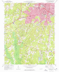 1973 Southwest Durham1977 Print · USGSDurham and its southern suburbs are captured in the early seventies, showcasing a transition from a rail-centered city to an interstate-connected hub. Genealogists and historians can trace institutional roots at Duke University or locate family plots at Maplewood Cemetery and Beechwood Cem.4 unique versions available
 - 1973 Map of Southeast Durham, 1982 Print
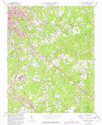 1973 Southeast Durham1982 Print · USGSSoutheast Durham and the Research Triangle transition from rural communities to a regional hub during the early seventies. Genealogists and researchers can locate family burial sites at Woodlawn Memorial Park and trace early crossroads like Bethesda and Nelson.2 unique versions available
 - 1977 Map of Lake Michie
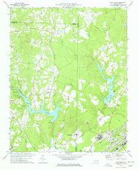 1977 Lake Michie1977 Print · USGSThe Flat River valley in the late seventies reveals a landscape of growing towns and significant public institutions between Durham and Granville. Researchers can trace the footprints of Bahama and Butner, alongside family landmarks like the Carrington Cem and Ellis Chapel.2 unique versions available
 - 1978 Map of Chapel Hill
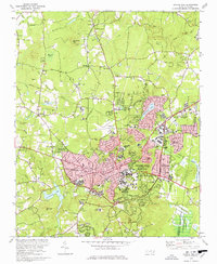 1978 Chapel Hill1978 Print · USGSThe university town of Chapel Hill and Carrboro are shown during their late-seventies expansion. Researchers can locate campus landmarks like Kenan Stadium or trace old rural outposts such as Eubanks and the McDuffie Mem Ch.3 unique versions available
 - 1980 Map of Chapel Hill, 1983 Print
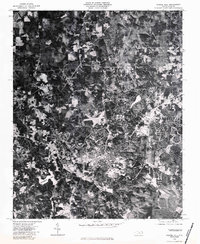 1980 Chapel Hill1983 Print · USGSChapel Hill at the start of the 1980s is captured in high-resolution aerial imagery, showing the town's expansion into the surrounding Orange County woodlands. Trace the development of the university community near University Lake and the rural reaches of Eubanks.
 - 1984 Map of Chapel Hill, 1985 Print
 1984 Chapel Hill1985 Print · USGSNorth Carolina’s Piedmont and the northern reaches of the Uwharrie Mountains are captured here in the mid-eighties. Genealogists can trace family roots through rural landmarks like Union Chapel or locate old rail stops along the Seaboard line.
 - 1984 Map of Raleigh, 1985 Print
 1984 Raleigh1985 Print · USGSThe North Carolina Research Triangle is shown during a decade of rapid growth, from the sprawl of Raleigh to the expanding waters of Falls Lake. Genealogists and historians can trace rail lines like the Seaboard Coast Line or locate landmark sites like Dorothea Dix State Hospital and Fuquay-Varina.
 - 1984 Map of Henderson, 1985 Print
 1984 Henderson1985 Print · USGSNorth Carolina’s northern Piedmont comes into focus in the mid-1980s, centered on the crossroads of Henderson and Oxford. Genealogists and historians can trace the paths of the Southern railroad or locate communities near the Camp Butner National Guard Range and John H. Kerr Reservoir.
 - 1990 Map of Raleigh, 1991 Print
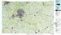 1990 Raleigh1991 Print · USGSGreater Raleigh and the Research Triangle entered a period of significant suburban growth during the 1990s. Researchers can trace the development of towns like Fuquay-Varina and Wake Forest or locate landmarks such as the State Prison and Harris Reservoir.2 unique versions available
 - 1991 Map of Henderson
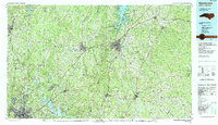 1991 Henderson1991 Print · USGSThe northern Piedmont and Virginia borderlands come into focus in the early nineties, showing a landscape defined by major reservoirs and growing towns. Trace the rail-and-road connections between Oxford, Henderson, and Durham while exploring the developing shores of Falls Lake.2 unique versions available
Showing maps 1-25 of 73
Top cities near Durham
- Raleigh historical maps
- Cary historical maps
- Chapel Hill historical maps
- Apex historical maps
- Carrboro historical maps
- Morrisville historical maps
See more
Top neighborhoods of Durham
- Bethesda historical maps
- Hayes historical maps
- Nelson historical maps
- West Hills East historical maps
- Spring Valley historical maps
- Lochn'ora historical maps
See more
Frequently asked questions
- What are the different types of historical maps available for Durham?
- What is the oldest map of Durham?
- Where can I purchase historical maps of Durham for my home or office?
- Where can I download high-res historical maps of Durham?
- Are there historical topographic maps available for Durham?
- Is there historical aerial imagery available for Durham?
- Where are historical maps of Durham sourced from?