2000s (21st Century) Maps of Fountain Fork, North Carolina
Explore 6 historic maps of Fountain Fork from the 2000s (21st Century). These maps offer a rare glimpse into what life looked like during the 2000s — showing old roads, neighborhoods, homes, and landmarks that have changed or disappeared over time.
Whether you're researching your family's past, planning a metal detecting trip, or studying how Fountain Fork's landscape evolved across the 2000s, these high-resolution maps are a powerful tool for exploring the history of this region.
- Focus on a specific era: All maps on this page are from the 2000s, giving you a focused view of this time period.
- See what’s changed: Compare century-old streets, trails, and buildings to today's modern landscape using overlays and satellite layers.
- Research with precision: Use these maps for genealogy, historical research, land use analysis, or educational projects.
- View, download, or print: Maps are fully viewable online in high resolution, and can be downloaded or printed for your own records.
Start exploring Fountain Fork's history through authentic maps from the 2000s. This is your window into the past.
Fountain Fork, NC maps
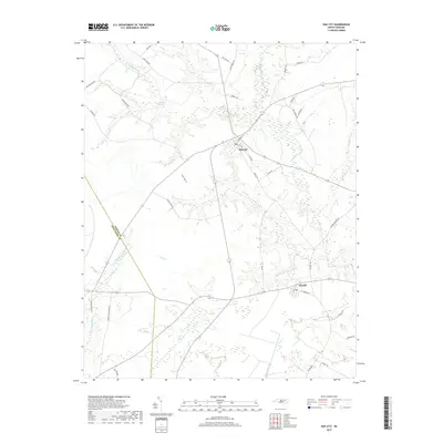
(6)- 2002 Map of Oak City
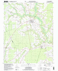 2002 Oak City2002 Print · USGSMartin County at the dawn of the millennium shows a landscape defined by traditional rail-side settlements and extensive wetlands. Researchers can locate family landmarks like St Paul Ch, Hatties Chapel, and the rural community of Fountain Fork.
 - 2010 Map of Oak City, 2010 Print
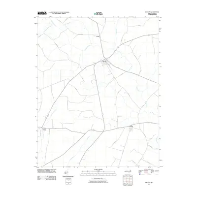 2010 Oak City2010 Print · USGSCovers Fountain Fork, including Oak City, Hassell, and other nearby areas
 - 2013 Map of Oak City, 2013 Print
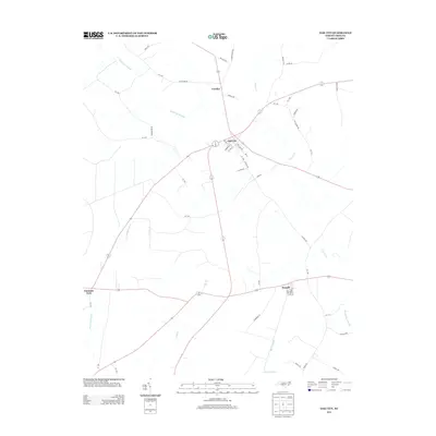 2013 Oak City2013 Print · USGSCovers Fountain Fork, including Oak City, Hassell, and other nearby areas
 - 2016 Map of Oak City, 2016 Print
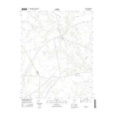 2016 Oak City2016 Print · USGSCovers Fountain Fork, including Oak City, Hassell, and other nearby areas
 - 2019 Map of Oak City, 2019 Print
 2019 Oak City2019 Print · USGSCovers Fountain Fork, including Oak City, Hassell, and other nearby areas
 - 2022 Map of Oak City, 2022 Print
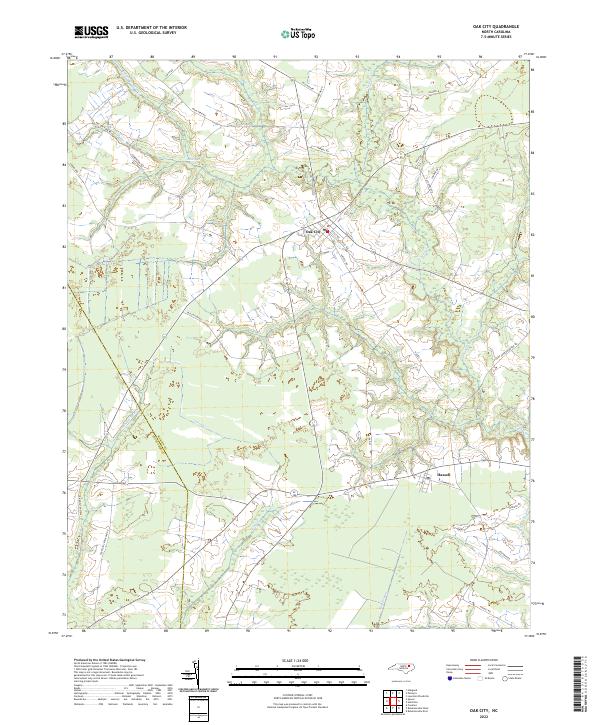 2022 Oak City2022 Print · USGSOak City and Hassell stand at the intersection of Martin and Edgecombe counties in the early 2020s. Researchers can trace family-named routes like Mayo Farm Rd and Peele Rd as they navigate the wetlands of Conoho Cr and Etheridge Swamp.
End of results
Showing maps 1-6 of 6
Top cities near Fountain Fork
- Tarboro historical maps
- Scotland Neck historical maps
- Bethel historical maps
- Princeville historical maps
- Robersonville historical maps
- Lewiston Woodville historical maps
See more
Frequently asked questions
- What are the different types of historical maps available for Fountain Fork?
- What is the oldest map of Fountain Fork?
- Where can I purchase historical maps of Fountain Fork for my home or office?
- Where can I download high-res historical maps of Fountain Fork?
- Are there historical topographic maps available for Fountain Fork?
- Is there historical aerial imagery available for Fountain Fork?
- Where are historical maps of Fountain Fork sourced from?