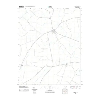
2010 Map of Oak City
USGS Topo · Published 2010About this map
The town of Oak City serves as the central hub of this Martin County landscape, where the agricultural tradition is evidenced by named routes like Mayo Farm Rd and Catfish Farm. The geography is defined by a complex network of slow-moving water and wetlands, notably the Etheridge Swamp in the north and the Huskanaw Swamp near the southeastern corner. These hydrologic features dictate the placement of small communities like Conoho and Hassell, which are connected by a grid of state roads and local lanes such as Hassell Rd. The drainage pattern is further characterized by Conoho Creek and the meandering Crisp Creek, which flows through the southern half of the quadrangle toward Ross Swamp. This survey documents the intersection of rural residential clusters and extensive drainage basins, illustrating the enduring relationship between the local road network and the surrounding marshlands.
Find a feature on this map
33 named features on this map. Tap any name to fly to it.
Don’t see what you’re looking for? This feature index may not catch every label — zoom into the map to look around manually.
Map Details
Editions of this 2010 Oak City Map
This is the sole edition of this map. No revisions or reprints were ever made.
Other maps of this area

1901 · Parmele
USGS Topo · 1:62,500

1901 · Williamston
USGS Topo · 1:62,500

1902 · Williamston
USGS Topo · 1:62,500

1902 · Parmele
USGS Topo · 1:62,500

1953 · Norfolk
USGS Topo · 1:250,000

1953 · Rocky Mount
USGS Topo · 1:250,000

1954 · Rocky Mount
USGS Topo · 1:250,000

1962 · Palmyra
USGS Topo · 1:24,000

1962 · Hobgood
USGS Topo · 1:24,000

1972 · Woodville
USGS Topo · 1:24,000