Old Maps of Princeville, North Carolina for Academic Research
Study the evolution of Princeville with 16 high-resolution historic maps. Whether you're teaching, researching, or modeling changes in land use, these maps provide essential visual documentation of urban, environmental, and geographic change.
- Analyze long-term change: Track patterns in development, transportation, and natural features.
- Ideal for environmental or urban studies: Support academic projects with primary historical map data.
- Use in the classroom or lab: Educators and researchers rely on these maps to bring historical context to life.
These maps are a powerful tool for teaching, research, and visualizing how Princeville has changed over the decades.
Princeville, NC maps
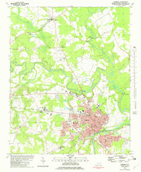
(16)- 1902 Map of Tarboro, 1968 Print
 1902 Tarboro1968 Print · USGSEdgecombe County at the dawn of the twentieth century was a landscape defined by the winding Tar River and the expansion of the Atlantic Coast Line. Genealogists can trace family names at Bullocks Crossroads, locate the old Steamboat Route, or explore early settlements like Pinetops and Princeville.
 - 1903 Map of Tarboro, 1935 Print
 1903 Tarboro1935 Print · USGSCoastal plain life in Edgecombe County at the opening of the century centered on river commerce and emerging rail lines. You can trace early family sites and rural junctions like Wiggins Crossroads, the Steamboat Route on the river, and the mill works along Sasnett Mill Swamp.2 unique versions available
 - 1953 Map of Rocky Mount, 1964 Print
 1953 Rocky Mount1964 Print · USGSEastern North Carolina in the mid-fifties is defined by its deep river basins and the vast wetlands of the Tidewater. Genealogists can trace family roots through hubs like Kinston and New Bern or explore the wilderness of Pettigrew State Park and Lake Mattamuskeet.4 unique versions available
 - 1954 Map of Rocky Mount
 1954 Rocky Mount1954 Print · USGSEastern North Carolina is mapped in the mid-fifties, showing a landscape of sounds, swamps, and steam-era rail lines. Genealogists can trace the rural road networks and rail spurs connecting towns like Tarboro, Greenville, and the remote Columbia.
 - 1981 Map of Tarboro, 1982 Print
 1981 Tarboro1982 Print · USGSEdgecombe County in the early eighties shows the historic river towns of Tarboro and Princeville during a period of modern expansion. Genealogists can trace family landmarks like Penders Chapel, Old Salem Ch, and the County Home Cem across this lowland landscape.2 unique versions available
 - 1985 Map of Rocky Mount
 1985 Rocky Mount1985 Print · USGSThe eastern North Carolina coastal plain in the mid-eighties shows a landscape defined by its river-and-rail heritage. Genealogists and local historians can trace the development of Rocky Mount, Greenville, and Wilson, or locate landmarks like East Carolina University and the Voice of America site.2 unique versions available
 - 2010 Map of Old Sparta, 2010 Print
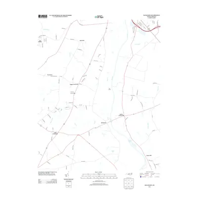
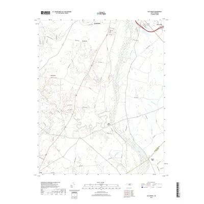
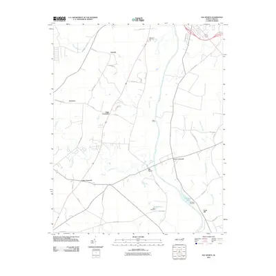 2010 Old Sparta2010 Print · USGSCovers Princeville, including Tarboro, Penny Hill, and other nearby areas
 - 2010 Map of Tarboro, 2010 Print
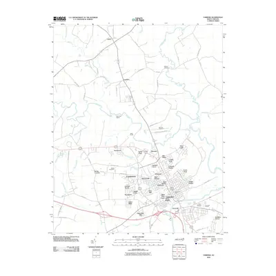 2010 Tarboro2010 Print · USGSCovers Princeville, including Tarboro, Leggett, and other nearby areas
 - 2013 Map of Old Sparta, 2013 Print
 2013 Old Sparta2013 Print · USGSCovers Princeville, including Tarboro, Penny Hill, and other nearby areas
 - 2013 Map of Tarboro, 2013 Print
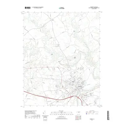
 2013 Tarboro2013 Print · USGSCovers Princeville, including Tarboro, Leggett, and other nearby areas
 - 2016 Map of Old Sparta, 2016 Print
 2016 Old Sparta2016 Print · USGSCovers Princeville, including Tarboro, Penny Hill, and other nearby areas
 - 2016 Map of Tarboro, 2016 Print
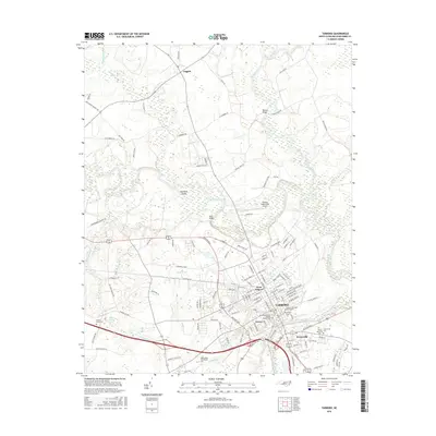 2016 Tarboro2016 Print · USGSCovers Princeville, including Tarboro, Leggett, and other nearby areas
 - 2019 Map of Tarboro, 2019 Print
 2019 Tarboro2019 Print · USGSCovers Princeville, including Tarboro, Leggett, and other nearby areas
 - 2019 Map of Old Sparta, 2019 Print
 2019 Old Sparta2019 Print · USGSCovers Princeville, including Tarboro, Penny Hill, and other nearby areas
 - 2022 Map of Tarboro, 2022 Print
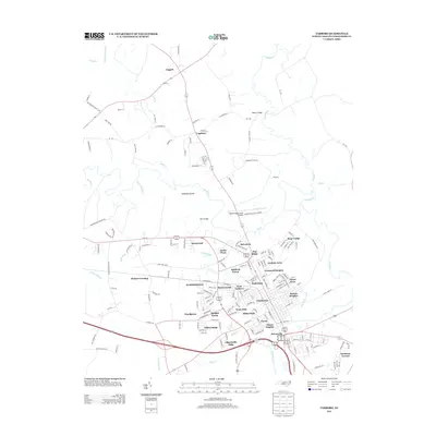
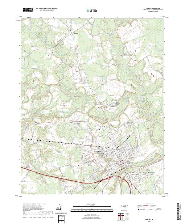 2022 Tarboro2022 Print · USGSTarboro and Princeville sit along the bends of the Tar River in this contemporary look at Edgecombe County. Researchers can trace family history at Old Town Cem or locate local landmarks like Hemmed Island and the Edgecombe County Courthouse.
 - 2022 Map of Old Sparta, 2022 Print
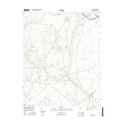
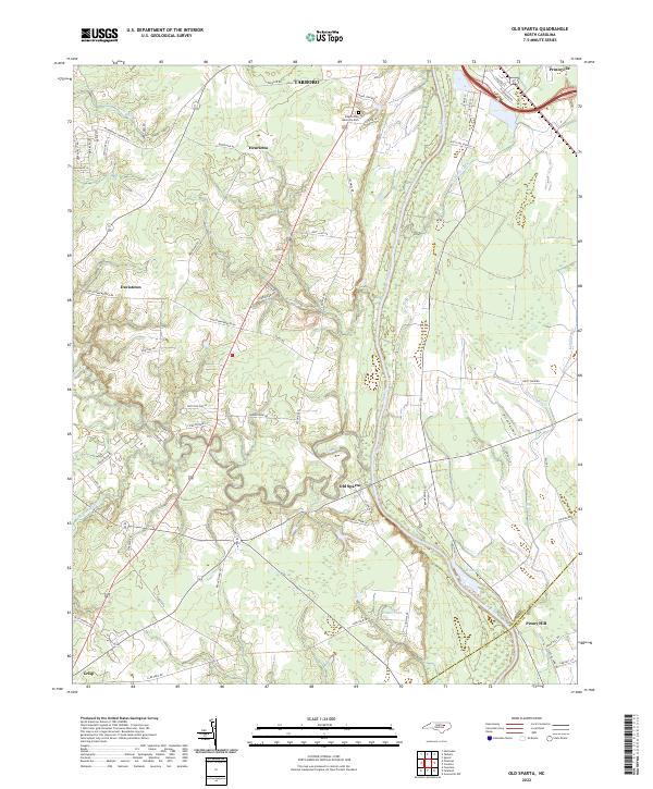 2022 Old Sparta2022 Print · USGSThe Tar River corridor in Edgecombe County remains a landscape of historic river settlements and family farmsteads into the early 2020s. Researchers can locate named landmarks such as Old Sparta, the Cromwell Canal, and Edgecombe Memorial Park.
End of results
Showing maps 1-16 of 16
Top cities near Princeville
- Greenville historical maps
- Rocky Mount historical maps
- Tarboro historical maps
- Bethel historical maps
- Pinetops historical maps
- Fountain historical maps
See more
Top neighborhoods of Princeville
Frequently asked questions
- What are the different types of historical maps available for Princeville?
- What is the oldest map of Princeville?
- Where can I purchase historical maps of Princeville for my home or office?
- Where can I download high-res historical maps of Princeville?
- Are there historical topographic maps available for Princeville?
- Is there historical aerial imagery available for Princeville?
- Where are historical maps of Princeville sourced from?