Old Maps of Fox Run, North Carolina for Hiking & Exploration
Hike through history with 11 historic maps of Fox Run. Explore old trails, ghost towns, and forgotten backroads — perfect for outdoor adventurers and local explorers.
- Rediscover forgotten places: Map out old mining camps, roads, and footpaths that no longer exist on modern maps.
- Layer with modern tools: Combine with LiDAR or satellite views to plan hikes through historical terrain.
- Made for exploration: Popular among hikers, overlanders, and local history lovers.
Use these maps to find adventure and explore the hidden past of Fox Run.
Fox Run, NC maps
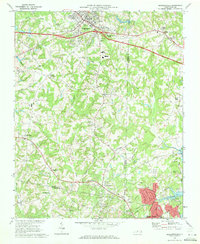
(11)- 1953 Map of Winston-Salem, 1974 Print
 1953 Winston-Salem1974 Print · USGSThe North Carolina Piedmont and Virginia highlands meet in the mid-1950s, a landscape defined by the tobacco and textile hubs of the Blue Ridge foothills. Researchers can trace the rail-and-river geography connecting Winston-Salem to mountain towns like Mount Airy and Galax.2 unique versions available
 - 1955 Map of Winston-Salem
 1955 Winston-Salem1955 Print · USGSThe Central Blue Ridge and Piedmont transition are captured here in the mid-fifties, from the industrial hub of Winston-Salem to the high peaks of Southwest Virginia. Genealogists can trace family landmarks like Richmond Hill Ch, Siloam Ch, and the old rail stops along the Southern Railway.
 - 1962 Map of Winston-Salem
 1962 Winston-Salem1962 Print · USGSThe North Carolina Piedmont meets the Virginia highlands in the early sixties, showing the rail corridors and mountain gaps of the southern Appalachians. Researchers can trace the Blue Ridge Parkway or locate family sites near Winston-Salem, Mount Airy, and Hanging Rock Mountain.
 - 1969 Map of Kernersville, 1972 Print
 1969 Kernersville1972 Print · USGSThe Piedmont Triad takes shape in the late sixties as Kernersville and High Point begin to grow together. Genealogists and historians can trace the foundations of local communities at Beeson Crossroads, Southern Pilgrim College, and Union Cross.3 unique versions available
 - 1977 Map of Kernersville, 1979 Print
 1977 Kernersville1979 Print · USGSIn the late seventies, the Piedmont landscape around Kernersville was undergoing a significant transformation from rural fields to suburban outskirts. Genealogists and local historians can trace family-named locations such as Beeson Crossroads, Horneytown, and Union Cross.
 - 1984 Map of Winston-Salem, 1985 Print
 1984 Winston-Salem1985 Print · USGSThe North Carolina Piedmont in the mid-1980s shows the growth of Winston-Salem and the busy rail corridors of the Southern Railway. Genealogists and local historians can trace family-named lands and rural communities from Yadkinville to Mount Airy.2 unique versions available
 - 2010 Map of Kernersville, 2010 Print
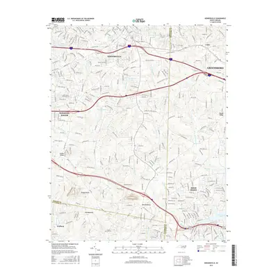
 2010 Kernersville2010 Print · USGSCovers Fox Run, including Greensboro, Winston-Salem, and other nearby areas
 - 2013 Map of Kernersville, 2013 Print
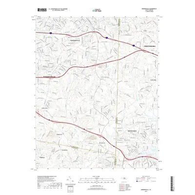
 2013 Kernersville2013 Print · USGSCovers Fox Run, including Greensboro, Winston-Salem, and other nearby areas
 - 2016 Map of Kernersville, 2016 Print
 2016 Kernersville2016 Print · USGSCovers Fox Run, including Greensboro, Winston-Salem, and other nearby areas
 - 2019 Map of Kernersville, 2019 Print
 2019 Kernersville2019 Print · USGSCovers Fox Run, including Greensboro, Winston-Salem, and other nearby areas
 - 2022 Map of Kernersville, 2022 Print
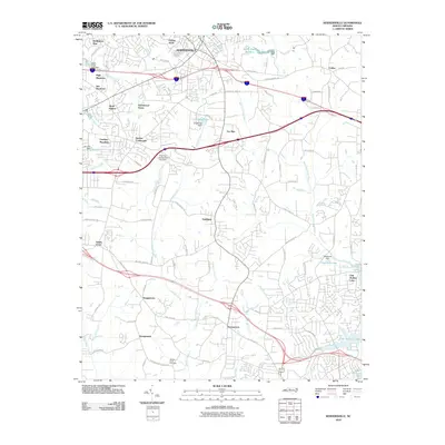
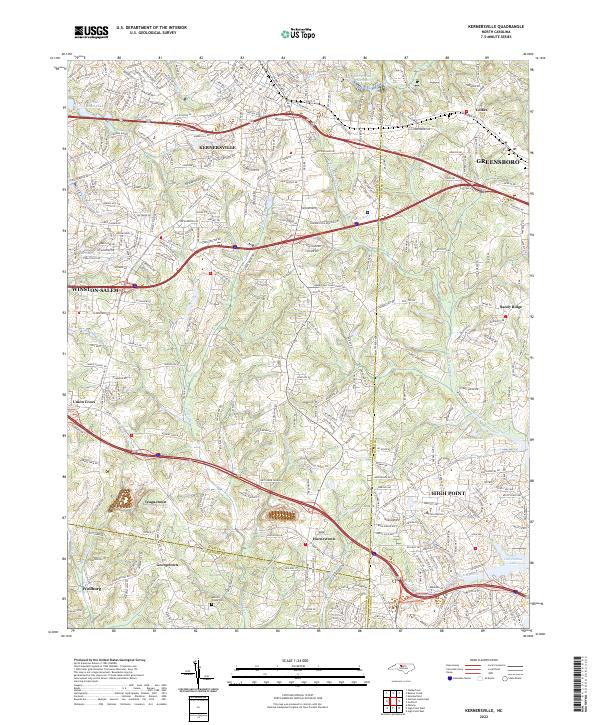 2022 Kernersville2022 Print · USGSThe North Carolina Piedmont is captured here in its modern form, where the growing communities of Kernersville and High Point meet. Genealogists and local researchers can trace established landmarks like Abbotts Creek Cem and the small settlements of Horneytown and Teaguetown.
End of results
Showing maps 1-11 of 11
Top cities near Fox Run
- Greensboro historical maps
- Winston-Salem historical maps
- High Point historical maps
- Thomasville historical maps
- Kernersville historical maps
- Archdale historical maps
See more
Frequently asked questions
- What are the different types of historical maps available for Fox Run?
- What is the oldest map of Fox Run?
- Where can I purchase historical maps of Fox Run for my home or office?
- Where can I download high-res historical maps of Fox Run?
- Are there historical topographic maps available for Fox Run?
- Is there historical aerial imagery available for Fox Run?
- Where are historical maps of Fox Run sourced from?