Old Maps of Powell Crossroads, North Carolina for Genealogy
Trace your family roots with 12 historic maps of Powell Crossroads. These high-res maps reveal old neighborhoods, homesites, landmarks, and streets — helping you uncover where your ancestors lived and how the area evolved over time.
- Explore historic neighborhoods: Identify where your relatives may have lived in the 1800s or 1900s.
- Compare maps over time: Trace the changes in streets, buildings, and landmarks for multi-generational research.
- Perfect for genealogy & ancestry research: Used by family historians and researchers to map out lineage and migration.
These maps are an incredible resource for exploring your personal connection to Powell Crossroads's past.
Powell Crossroads, NC maps
(12)- 1906 Map of Beckford
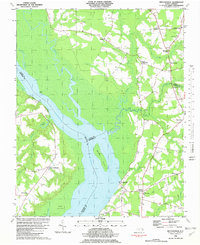
 1906 Beckford1906 Print · USGSCoastal North Carolina at the turn of the century reveals a world of swamp-based industry and riverine commerce. Trace family roots and old landmarks across the landscape from the wharves at Taylor Wharf to crossroads like Wiggins Crossroads and the mills at Merchants Mill Pond.
 - 1907 Map of Beckford
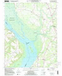
 1907 Beckford1907 Print · USGSNortheastern North Carolina was a landscape of deep swamps and river commerce in the early 1900s. Genealogists can trace family landmarks at Merchants Mill, find rural congregations like Joppa Church, or follow the steam routes past Holidays Island.2 unique versions available
 - 1940 Map of Beckford
 1940 Beckford1940 Print · USGSNortheastern North Carolina in the early 1940s was a land of timbered swamps and essential river crossings. Genealogists and historians can trace old homesteads and transport hubs near Cannon Ferry, Merchants Millpond, and the Beckford Junction rail crossing.2 unique versions available
 - 1953 Map of Norfolk, 1954 Print
 1953 Norfolk1954 Print · USGSCoastal Virginia and northeastern North Carolina appear here during the post-war industrial boom, showing the critical rail-and-sea connections of Hampton Roads. Genealogists can trace family roots through rural landmarks like Gethsemane Ch, the Caledonia State Prison Farm, and the vast interior of the Dismal Swamp.4 unique versions available
 - 1982 Map of Mintonsville
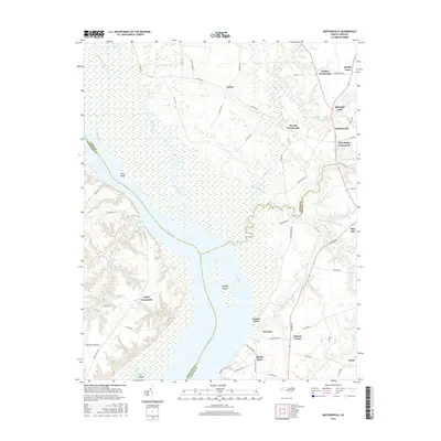
 1982 Mintonsville1982 Print · USGSCoastal plains and riverine wetlands characterize this corner of North Carolina in the early eighties. Genealogists and historians can trace family-named crossroads and landmarks like Cannon Ferry, Walton Grove Ch, and Lloyd Crossroads.
 - 1985 Map of Elizabeth City
 1985 Elizabeth City1985 Print · USGSCoastal North Carolina's rivers and sounds define the landscape of the mid-eighties, from the vast swamps to the historical waterfronts of Elizabeth City and Edenton. Researchers can trace the rail lines of the Southern Ry or locate landmarks like Beaver Hill Cem and South Mills.2 unique versions available
 - 1997 Map of Mintonsville, 2000 Print
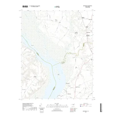
 1997 Mintonsville2000 Print · USGSThe Chowan River lowlands come to life in this survey from the late nineties, capturing the rural communities of Gates County before modern development. Genealogists can trace family roots through Mintonsville, Hutson Corner, and old landmarks like Cannon Ferry and Welchs Chapel.
 - 2010 Map of Mintonsville, 2010 Print
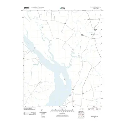 2010 Mintonsville2010 Print · USGSCovers Powell Crossroads, including Muddy Cross, Old Chapel Crossroads, and other nearby areas
 - 2013 Map of Mintonsville, 2013 Print
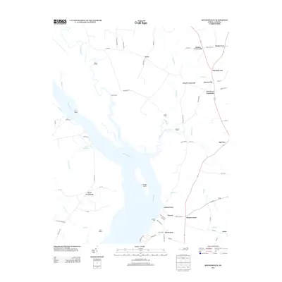 2013 Mintonsville2013 Print · USGSCovers Powell Crossroads, including Muddy Cross, Old Chapel Crossroads, and other nearby areas
 - 2016 Map of Mintonsville, 2016 Print
 2016 Mintonsville2016 Print · USGSCovers Powell Crossroads, including Muddy Cross, Old Chapel Crossroads, and other nearby areas
 - 2019 Map of Mintonsville, 2019 Print
 2019 Mintonsville2019 Print · USGSCovers Powell Crossroads, including Muddy Cross, Old Chapel Crossroads, and other nearby areas
 - 2022 Map of Mintonsville, 2022 Print
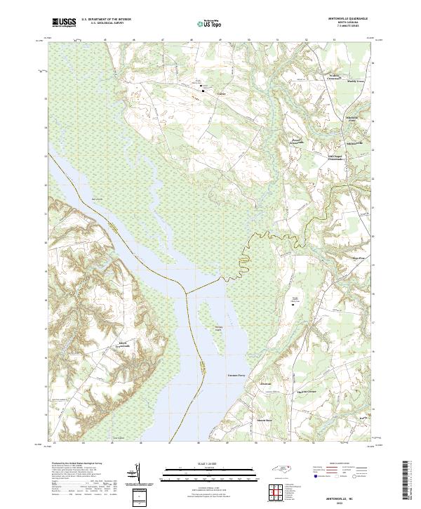 2022 Mintonsville2022 Print · USGSCoastal North Carolina's riverine landscape comes alive in this contemporary record of the Chowan River borderlands. Genealogists and historians can locate family burial sites like the Hofler Family Cem and trace old routes through Mitchells Fork and Old Chapel Crossroads.
End of results
Showing maps 1-12 of 12
Top cities near Powell Crossroads
- Hertford historical maps
- Arrowhead Beach historical maps
- Winfall historical maps
- Sunbury historical maps
- Gatesville historical maps
- Colerain historical maps
See more
Frequently asked questions
- What are the different types of historical maps available for Powell Crossroads?
- What is the oldest map of Powell Crossroads?
- Where can I purchase historical maps of Powell Crossroads for my home or office?
- Where can I download high-res historical maps of Powell Crossroads?
- Are there historical topographic maps available for Powell Crossroads?
- Is there historical aerial imagery available for Powell Crossroads?
- Where are historical maps of Powell Crossroads sourced from?