2000s (21st Century) Maps of High Point, North Carolina
Explore 21 historic maps of High Point from the 2000s (21st Century). These maps offer a rare glimpse into what life looked like during the 2000s — showing old roads, neighborhoods, homes, and landmarks that have changed or disappeared over time.
Whether you're researching your family's past, planning a metal detecting trip, or studying how High Point's landscape evolved across the 2000s, these high-resolution maps are a powerful tool for exploring the history of this region.
- Focus on a specific era: All maps on this page are from the 2000s, giving you a focused view of this time period.
- See what’s changed: Compare century-old streets, trails, and buildings to today's modern landscape using overlays and satellite layers.
- Research with precision: Use these maps for genealogy, historical research, land use analysis, or educational projects.
- View, download, or print: Maps are fully viewable online in high resolution, and can be downloaded or printed for your own records.
Start exploring High Point's history through authentic maps from the 2000s. This is your window into the past.
High Point, NC maps
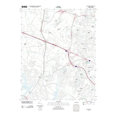
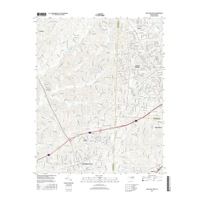
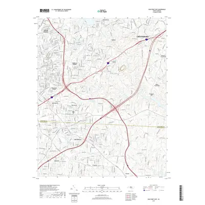
(21)- 2002 Map of High Point East, 2004 Print
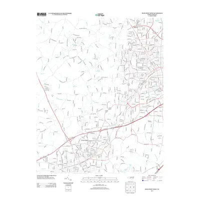
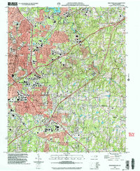 2002 High Point East2004 Print · USGSHigh Point and its surrounding suburbs were in a phase of significant modern growth at the turn of the millennium. Researchers can trace the development of High Point University and find local landmarks like Green Hill Cem, Freeman Mill, and the community of Archdale.
 - 2010 Map of High Point West, 2010 Print
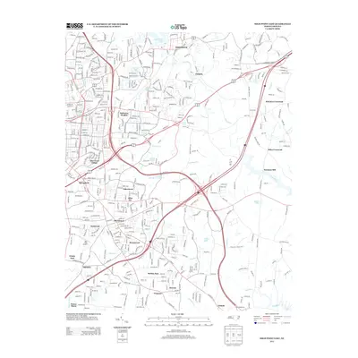
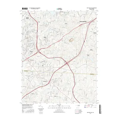
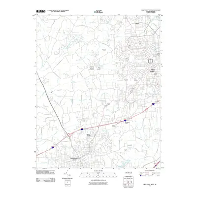 2010 High Point West2010 Print · USGSCovers High Point, including Thomasville, Archdale, and other nearby areas
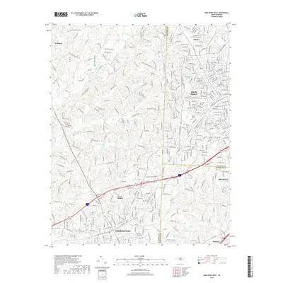
 - 2010 Map of High Point East, 2010 Print
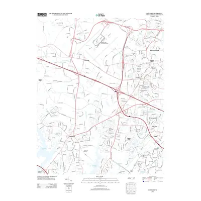
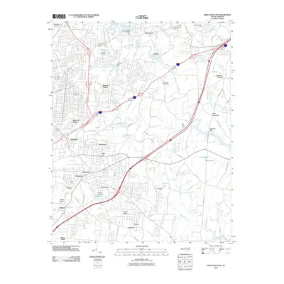 2010 High Point East2010 Print · USGSCovers High Point, including Greensboro, Archdale, and other nearby areas
 - 2010 Map of Kernersville, 2010 Print
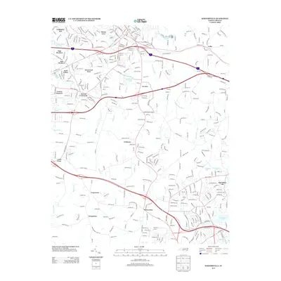
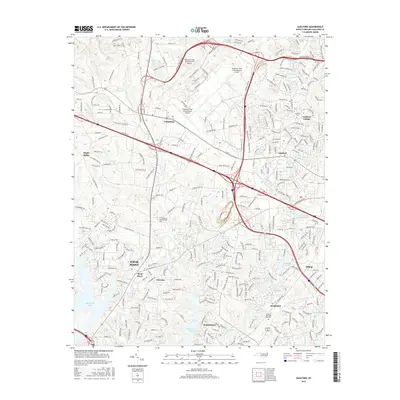
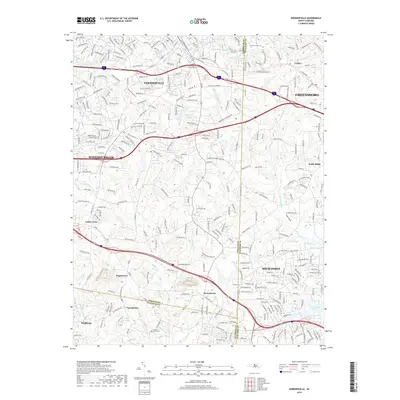
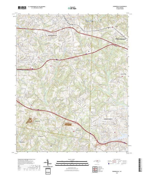
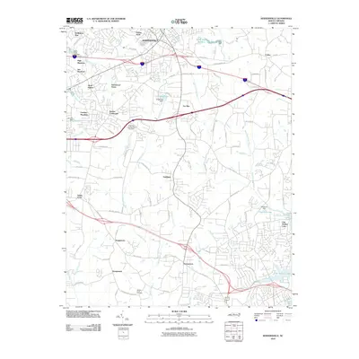 2010 Kernersville2010 Print · USGSCovers High Point, including Greensboro, Winston-Salem, and other nearby areas
 - 2010 Map of Guilford, 2010 Print
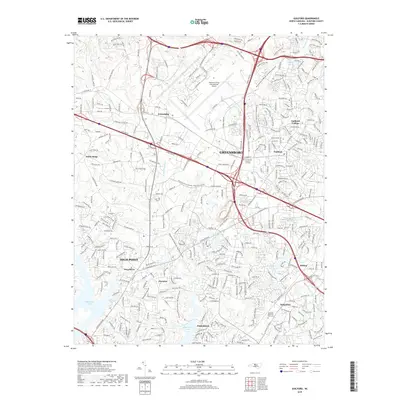
 2010 Guilford2010 Print · USGSCovers High Point, including Greensboro, Jamestown, and other nearby areas
 - 2013 Map of High Point East, 2013 Print
 2013 High Point East2013 Print · USGSCovers High Point, including Greensboro, Archdale, and other nearby areas
 - 2013 Map of Kernersville, 2013 Print
 2013 Kernersville2013 Print · USGSCovers High Point, including Greensboro, Winston-Salem, and other nearby areas
 - 2013 Map of Guilford, 2013 Print
 2013 Guilford2013 Print · USGSCovers High Point, including Greensboro, Jamestown, and other nearby areas
 - 2013 Map of High Point West, 2013 Print
 2013 High Point West2013 Print · USGSCovers High Point, including Thomasville, Archdale, and other nearby areas
 - 2016 Map of High Point East, 2016 Print
 2016 High Point East2016 Print · USGSCovers High Point, including Greensboro, Archdale, and other nearby areas
 - 2016 Map of Guilford, 2016 Print
 2016 Guilford2016 Print · USGSCovers High Point, including Greensboro, Jamestown, and other nearby areas
 - 2016 Map of Kernersville, 2016 Print
 2016 Kernersville2016 Print · USGSCovers High Point, including Greensboro, Winston-Salem, and other nearby areas
 - 2016 Map of High Point West, 2016 Print
 2016 High Point West2016 Print · USGSCovers High Point, including Thomasville, Archdale, and other nearby areas
 - 2019 Map of High Point West, 2019 Print
 2019 High Point West2019 Print · USGSCovers High Point, including Thomasville, Archdale, and other nearby areas
 - 2019 Map of Guilford, 2019 Print
 2019 Guilford2019 Print · USGSCovers High Point, including Greensboro, Jamestown, and other nearby areas
 - 2019 Map of Kernersville, 2019 Print
 2019 Kernersville2019 Print · USGSCovers High Point, including Greensboro, Winston-Salem, and other nearby areas
 - 2019 Map of High Point East, 2019 Print
 2019 High Point East2019 Print · USGSCovers High Point, including Greensboro, Archdale, and other nearby areas
 - 2022 Map of High Point East, 2022 Print
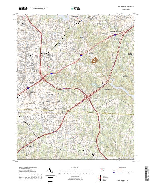 2022 High Point East2022 Print · USGSThe High Point and Greensboro suburbs come into focus in the early 2020s, showing the intersection of local industry and education. Genealogists can trace family sites at Green Hill Cem or locate the historic Freeman Mill and Hayworth Spring.
 - 2022 Map of High Point West, 2022 Print
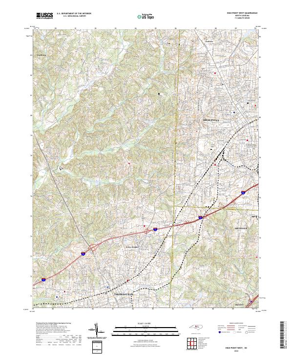 2022 High Point West2022 Print · USGSThe Piedmont tri-county corner comes alive in this survey of the urban corridor between Thomasville and High Point. Researchers can trace the development of Thomasville and Archdale or locate family plots in Oakwood Cem and Floral Garden Cem.
 - 2022 Map of Guilford, 2022 Print
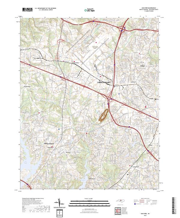 2022 Guilford2022 Print · USGSNorth Carolina’s Piedmont region in the early 2020s shows a landscape of rapid suburban growth between Greensboro and High Point. Researchers can trace the evolution of communities like Jamestown and Friendship or locate the historic Guilford College campus.
 - 2022 Map of Kernersville, 2022 Print
 2022 Kernersville2022 Print · USGSThe North Carolina Piedmont is captured here in its modern form, where the growing communities of Kernersville and High Point meet. Genealogists and local researchers can trace established landmarks like Abbotts Creek Cem and the small settlements of Horneytown and Teaguetown.
End of results
Showing maps 1-21 of 21
Top cities near High Point
- Greensboro historical maps
- Winston-Salem historical maps
- Thomasville historical maps
- Asheboro historical maps
- Kernersville historical maps
- Archdale historical maps
See more
Top neighborhoods of High Point
- Oak Hollow Lake historical maps
- Allen Jay historical maps
- Bakertown historical maps
- Springfield historical maps
- Oakview historical maps
- Melborne Heights historical maps
See more
Frequently asked questions
- What are the different types of historical maps available for High Point?
- What is the oldest map of High Point?
- Where can I purchase historical maps of High Point for my home or office?
- Where can I download high-res historical maps of High Point?
- Are there historical topographic maps available for High Point?
- Is there historical aerial imagery available for High Point?
- Where are historical maps of High Point sourced from?