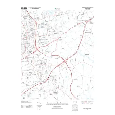
2013 Map of High Point East
USGS Topo · Published 2013About this map
Deep River and Bull Run carve through the eastern suburbs of High Point and Greensboro, defining a landscape where historic crossroads meet modern residential growth. The industrial and agricultural roots of the Piedmont are visible in settlements like Jamestown, Oakdale, and the expanding borders of Archdale. Smaller, family-named locales such as Kirkman Crossroad and Miles Crossroad dot the terrain, reflecting the older rural network that preceded suburbanization. Transport remains central to the area's identity, anchored by the Darr Field Airport and the path of Us Highway 311.
Find a feature on this map
46 named features on this map. Tap any name to fly to it.
Don’t see what you’re looking for? This feature index may not catch every label — zoom into the map to look around manually.
Map Details
Editions of this 2013 High Point East Map
This is the sole edition of this map. No revisions or reprints were ever made.
Other maps of this area

1949 · High Point West
USGS Topo · 1:24,000

1950 · High Point East
USGS Topo · 1:24,000

1951 · High Point East
USGS Topo · 1:24,000

1951 · Guilford
USGS Topo · 1:24,000

1951 · Fair Grove
USGS Topo · 1:24,000

1951 · Greensboro
USGS Topo · 1:24,000

1953 · Raleigh
USGS Topo · 1:250,000

1953 · Charlotte
USGS Topo · 1:250,000

1953 · Winston-Salem
USGS Topo · 1:250,000

1953 · Greensboro
USGS Topo · 1:250,000