Old Maps of Essex, North Carolina for Hiking & Exploration
Hike through history with 9 historic maps of Essex. Explore old trails, ghost towns, and forgotten backroads — perfect for outdoor adventurers and local explorers.
- Rediscover forgotten places: Map out old mining camps, roads, and footpaths that no longer exist on modern maps.
- Layer with modern tools: Combine with LiDAR or satellite views to plan hikes through historical terrain.
- Made for exploration: Popular among hikers, overlanders, and local history lovers.
Use these maps to find adventure and explore the hidden past of Essex.
Essex, NC maps
(9)- 1953 Map of Norfolk, 1954 Print
 1953 Norfolk1954 Print · USGSCoastal Virginia and northeastern North Carolina appear here during the post-war industrial boom, showing the critical rail-and-sea connections of Hampton Roads. Genealogists can trace family roots through rural landmarks like Gethsemane Ch, the Caledonia State Prison Farm, and the vast interior of the Dismal Swamp.4 unique versions available
 - 1963 Map of Essex, 1964 Print
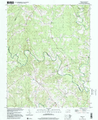
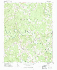 1963 Essex1964 Print · USGSCoastal plain farmland and tangled creek bottoms define this North Carolina borderland in the early sixties. Genealogists can trace family names at Lynch Cem and Silver Cem, or locate rural landmarks like Aventon and the local Brickyards.2 unique versions available
 - 1985 Map of Roanoke Rapids
 1985 Roanoke Rapids1985 Print · USGSNorthern North Carolina's river-driven economy is on display here in the mid-1980s, from the hydro-power at Roanoke Rapids to the rural millponds. Genealogists can trace family lands near Wiccacanee Pond, Mush Island, or the remote Urahaw Swamp.2 unique versions available
 - 1998 Map of Essex, 2000 Print
 1998 Essex2000 Print · USGSHalifax and Nash Counties at the turn of the millennium remained a landscape of quiet rural crossroads and deep swamp forests. Genealogists and local historians can trace family roots through numerous sites like Aventon, Walters Chapel, and the Saunders Cem.
 - 2010 Map of Essex, 2010 Print
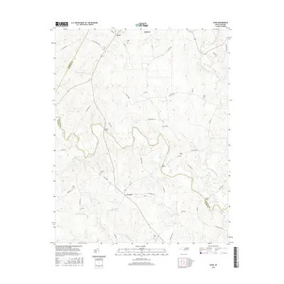
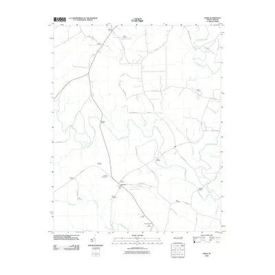 2010 Essex2010 Print · USGSCovers Essex, including Ita, Aventon, and other nearby areas
 - 2013 Map of Essex, 2013 Print
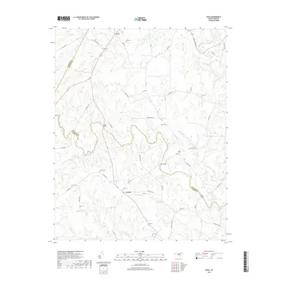
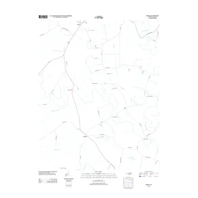 2013 Essex2013 Print · USGSCovers Essex, including Ita, Aventon, and other nearby areas
 - 2016 Map of Essex, 2016 Print
 2016 Essex2016 Print · USGSCovers Essex, including Ita, Aventon, and other nearby areas
 - 2019 Map of Essex, 2019 Print
 2019 Essex2019 Print · USGSCovers Essex, including Ita, Aventon, and other nearby areas
 - 2022 Map of Essex, 2022 Print
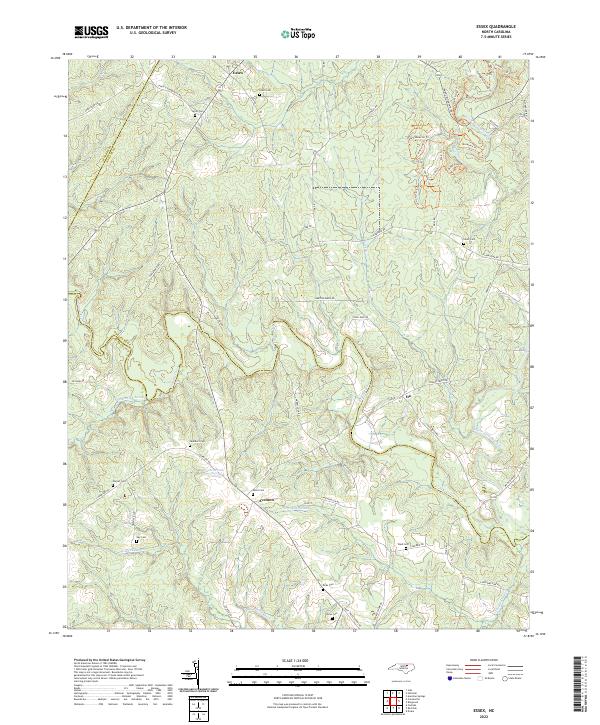 2022 Essex2022 Print · USGSThe borderlands of Halifax and Nash counties come into focus in the 2020s, showing a landscape defined by Fishing Creek and quiet crossroads. Researchers can trace family history through local landmarks like Aventon, Ita, and several family burial sites including Avent Cem.
End of results
Showing maps 1-9 of 9
Top cities near Essex
- Rocky Mount historical maps
- Red Oak historical maps
- Dortches historical maps
- Warrenton historical maps
- Castalia historical maps
- Macon historical maps
See more
Frequently asked questions
- What are the different types of historical maps available for Essex?
- What is the oldest map of Essex?
- Where can I purchase historical maps of Essex for my home or office?
- Where can I download high-res historical maps of Essex?
- Are there historical topographic maps available for Essex?
- Is there historical aerial imagery available for Essex?
- Where are historical maps of Essex sourced from?