Old Maps of Mamers, North Carolina for Hiking & Exploration
Hike through history with 9 historic maps of Mamers. Explore old trails, ghost towns, and forgotten backroads — perfect for outdoor adventurers and local explorers.
- Rediscover forgotten places: Map out old mining camps, roads, and footpaths that no longer exist on modern maps.
- Layer with modern tools: Combine with LiDAR or satellite views to plan hikes through historical terrain.
- Made for exploration: Popular among hikers, overlanders, and local history lovers.
Use these maps to find adventure and explore the hidden past of Mamers.
Mamers, NC maps
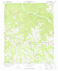
(9)- 1953 Map of Raleigh, 1965 Print
 1953 Raleigh1965 Print · USGSCentral North Carolina in the early sixties shows a landscape of growing towns and military hubs before the full expansion of the interstate system. Genealogists can trace family footprints across the Piedmont through Wake Forest, Siler City, and the large Fort Bragg Military Reservation.4 unique versions available
 - 1954 Map of Raleigh
 1954 Raleigh1954 Print · USGSThe North Carolina Piedmont and Sandhills are captured in the mid-fifties during a period of steady regional growth. Genealogists and historians can trace the development of towns like Siler City or locate landmarks such as Falls of Neuse and Camp Mackall.
 - 1974 Map of Mamers, 1977 Print
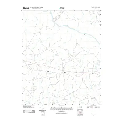
 1974 Mamers1977 Print · USGSHarnett County remains a rural landscape in the 1970s, defined by the winding course of the Cape Fear River and the newly established Raven Rock State Park. Researchers can trace the heritage of local crossroads like Mamers or locate family-named landmarks such as Antioch Ch and Boone Trail.2 unique versions available
 - 1986 Map of Fayetteville
 1986 Fayetteville1986 Print · USGSThe North Carolina coastal plain appears in the mid-1980s as a bustling corridor of military installations and historic tobacco towns. Genealogists and historians can trace the footprints of Fort Bragg Military Reservation, Campbell University, and the rail lines of the Seaboard Coast Line RR.2 unique versions available
 - 2010 Map of Mamers, 2010 Print
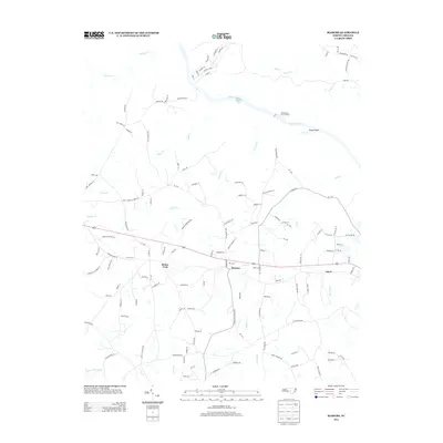
 2010 Mamers2010 Print · USGSCovers Mamers, including Boone Trail, Luart, and other nearby areas
 - 2013 Map of Mamers, 2013 Print
 2013 Mamers2013 Print · USGSCovers Mamers, including Boone Trail, Luart, and other nearby areas
 - 2016 Map of Mamers, 2016 Print
 2016 Mamers2016 Print · USGSCovers Mamers, including Boone Trail, Luart, and other nearby areas
 - 2019 Map of Mamers, 2019 Print
 2019 Mamers2019 Print · USGSCovers Mamers, including Boone Trail, Luart, and other nearby areas
 - 2022 Map of Mamers, 2022 Print
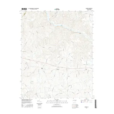
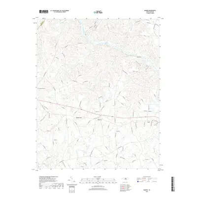
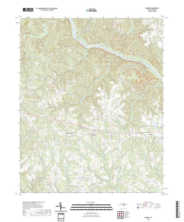 2022 Mamers2022 Print · USGSHarnett County settlements and the Cape Fear River corridor are detailed here in the early 2020s. Researchers can trace rural lineages at Rogers Cem or explore the history of river crossings and recreation at Raven Rock and the Northington Ferry Trl.
End of results
Showing maps 1-9 of 9
Top cities near Mamers
- Fuquay-Varina historical maps
- Sanford historical maps
- Linden Oaks historical maps
- Holly Springs historical maps
- Spring Lake historical maps
- Angier historical maps
See more
Frequently asked questions
- What are the different types of historical maps available for Mamers?
- What is the oldest map of Mamers?
- Where can I purchase historical maps of Mamers for my home or office?
- Where can I download high-res historical maps of Mamers?
- Are there historical topographic maps available for Mamers?
- Is there historical aerial imagery available for Mamers?
- Where are historical maps of Mamers sourced from?