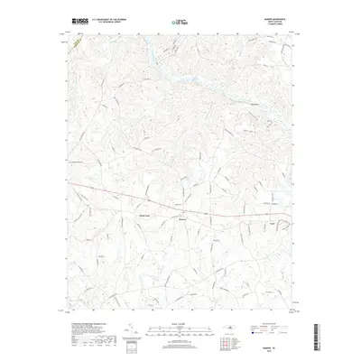
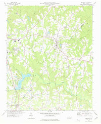
2019 Map of Mamers
USGS Topo · Published 2019About this map
The Cape Fear River carves a sweeping path through the northern landscape of this region, where the prominent Raven Rock formation overlooks the water near Avents Cr. This area of Harnett County is defined by a dense network of minor tributaries, including Camels Cr and Walkers Cr, which drain into the main river and the Upper Little River further south. The settlement pattern follows established ridges and crossroads, with the community of Mamers serving as a central hub alongside Boone Trail and Luart.
Find a feature on this map
98 named features on this map. Tap any name to fly to it.
Don’t see what you’re looking for? This feature index may not catch every label — zoom into the map to look around manually.
Map Details
Editions of this 2019 Mamers Map
This is the sole edition of this map. No revisions or reprints were ever made.
Other maps of this area

1953 · Raleigh
USGS Topo · 1:250,000

1954 · Raleigh
USGS Topo · 1:250,000

1956 · Anderson Creek
USGS Topo · 1:24,000

1956 · Bunnlevel
USGS Topo · 1:24,000
1957 · Olivia
USGS Topo · 1:24,000

1970 · Moncure
USGS Topo · 1:24,000
1974 · Fuquay-Varina
USGS Topo · 1:24,000

1974 · Mamers
USGS Topo · 1:24,000
1974 · Cokesbury
USGS Topo · 1:24,000
1977 · Broadway
USGS Topo · 1:24,000