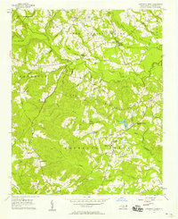
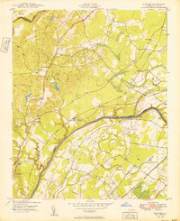
1956 Map of Anderson Creek
USGS Topo · Published 1958About this map
Spring Hill and the surrounding Anderson Creek region of Harnett County appear here as a landscape of rural community nodes and dense watercourses during the mid-1950s. The map reveals a high concentration of institutional landmarks that defined local life, including Norrington Sch, South Harnett Sch, and Anderson Creek Sch, alongside numerous country churches like Mt Olive Ch and Union Ch. Small family and community burying grounds such as Rogers Cem and Flat Branch Cem are scattered across the terrain, providing essential data for genealogical research.
Find a feature on this map
62 named features on this map. Tap any name to fly to it.
Don’t see what you’re looking for? This feature index may not catch every label — zoom into the map to look around manually.
Map Details
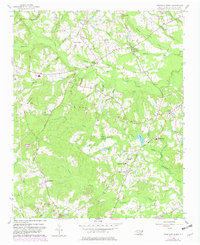
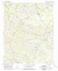
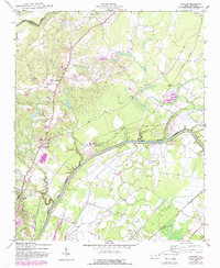
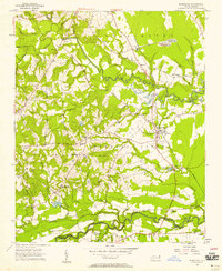
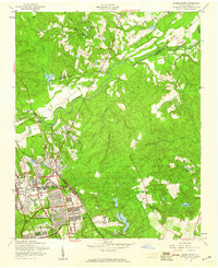
Editions of this 1956 Anderson Creek Map
Other maps of this area

1948 · Fayetteville
USGS Topo · 1:62,500

1948 · Clifdale
USGS Topo · 1:62,500
1948 · Slocomb
USGS Topo · 1:24,000

1950 · Manchester
USGS Topo · 1:24,000
1950 · Slocomb
USGS Topo · 1:24,000

1951 · Clifdale
USGS Topo · 1:62,500

1953 · Raleigh
USGS Topo · 1:250,000

1954 · Raleigh
USGS Topo · 1:250,000
1956 · Bunnlevel
USGS Topo · 1:24,000
1957 · Manchester
USGS Topo · 1:24,000