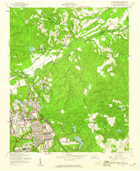
1957 Map of Manchester
USGS Topo · Published 1960About this map
The Fort Bragg Military Reservation and the adjacent Pope Air Force Base dominate this mid-century landscape in Cumberland County. The survey details a period of significant military infrastructure development, showing the complex layouts of Simmons Airfield, a dedicated military Hospital, and numerous barracks and training grounds. The civilian and military worlds meet at Spring Lake and the settlement of Manchester, where the Atlantic Coast Line railroad cuts through the terrain. North of the Little River, the land shifts toward more rural drainage patterns defined by Jumping Run Creek and Carvers Creek. Local genealogy interest is centered on several rural landmarks, including Bethel Ch, Eureka Ch, and Raksam Chapel, alongside scattered farmsteads that remained amidst the expanding military footprint.
Find a feature on this map
36 named features on this map. Tap any name to fly to it.
Don’t see what you’re looking for? This feature index may not catch every label — zoom into the map to look around manually.
Map Details
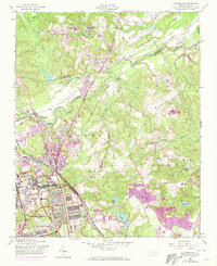
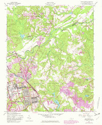
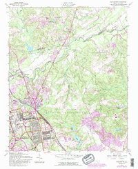
Editions of this 1957 Manchester Map
4 editions found
Other maps of this area

1948 · Fayetteville
USGS Topo · 1:62,500

1948 · Clifdale
USGS Topo · 1:62,500

1948 · Slocomb
USGS Topo · 1:24,000

1948 · Clifdale
USGS Topo · 1:24,000

1949 · Vander
USGS Topo · 1:24,000

1950 · Clifdale
USGS Topo · 1:24,000

1950 · Fayetteville
USGS Topo · 1:24,000

1950 · Manchester
USGS Topo · 1:24,000

1950 · Slocomb
USGS Topo · 1:24,000

1951 · Clifdale
USGS Topo · 1:62,500