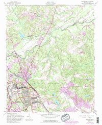
1957 Map of Manchester
USGS Topo · Published 1987About this map
Fort Bragg Military Reservation dominates this landscape north of Fayetteville, where military infrastructure meets the winding course of the Little River. The 1957 survey, with photorevisions through the 1980s, highlights the growth of Spring Lake and the established footprint of Pope Air Force Base. The transition from rural crossings like Manchester to formalized military grounds is evidenced by the presence of historical religious sites like Bethel Ch and Eureka Ch, which remain tucked among training grounds and impact zones. Transport is anchored by the Seaboard Coast Line railroad, cutting through the terrain near Fort Junction. Numerous water bodies, including Smith Lake, Texas Pond, and Lake McKay, dot the landscape, illustrating the hydrology of the Sandhills region during this period of mid-century expansion.
Find a feature on this map
26 named features on this map. Tap any name to fly to it.
Don’t see what you’re looking for? This feature index may not catch every label — zoom into the map to look around manually.
Map Details
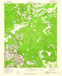
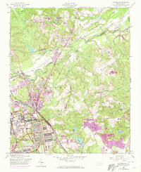
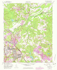
Editions of this 1957 Manchester Map
4 editions found
Other maps of this area

1948 · Fayetteville
USGS Topo · 1:62,500

1948 · Clifdale
USGS Topo · 1:62,500

1948 · Slocomb
USGS Topo · 1:24,000

1948 · Clifdale
USGS Topo · 1:24,000

1949 · Vander
USGS Topo · 1:24,000

1950 · Clifdale
USGS Topo · 1:24,000

1950 · Fayetteville
USGS Topo · 1:24,000

1950 · Manchester
USGS Topo · 1:24,000

1950 · Slocomb
USGS Topo · 1:24,000

1951 · Clifdale
USGS Topo · 1:62,500