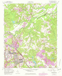
1957 Map of Manchester
USGS Topo · Published 1982About this map
The Fort Bragg Military Reservation dominates this mid-century landscape at the border of Harnett and Cumberland Counties. The map reveals the intense coordination between military infrastructure and civilian settlement during the Cold War era. At its center, Spring Lake and Manchester serve as key hubs along the Little River, while Pope Air Force Base and Fort Bragg itself define the local economy and land use.
Find a feature on this map
31 named features on this map. Tap any name to fly to it.
Don’t see what you’re looking for? This feature index may not catch every label — zoom into the map to look around manually.
Map Details
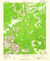
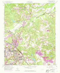
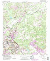
Editions of this 1957 Manchester Map
4 editions found
Other maps of this area

1948 · Fayetteville
USGS Topo · 1:62,500

1948 · Clifdale
USGS Topo · 1:62,500

1948 · Slocomb
USGS Topo · 1:24,000

1948 · Clifdale
USGS Topo · 1:24,000

1949 · Vander
USGS Topo · 1:24,000

1950 · Clifdale
USGS Topo · 1:24,000

1950 · Fayetteville
USGS Topo · 1:24,000

1950 · Manchester
USGS Topo · 1:24,000

1950 · Slocomb
USGS Topo · 1:24,000

1951 · Clifdale
USGS Topo · 1:62,500