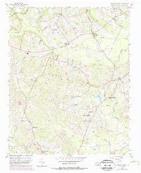
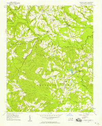
1956 Map of Anderson Creek
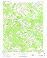
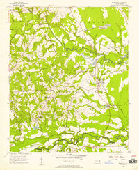
USGS Topo · Published 1982About this map
Upper Little River winds through the heart of this central North Carolina landscape, serving as the primary drainage for a network of tributaries like Barbecue Creek and Walkers Creek. The map documents a predominantly rural mid-century community organized around crossroads and country churches, including McRaes Chapel and Ephesus Ch. Notable clusters of activity appear at Norrington Crossroads and the eponymous Anderson area, where local education is anchored by the Anderson Creek Sch.
Find a feature on this map
56 named features on this map. Tap any name to fly to it.
Don’t see what you’re looking for? This feature index may not catch every label — zoom into the map to look around manually.
Map Details
Editions of this 1956 Anderson Creek Map
Other maps of this area

1948 · Fayetteville
USGS Topo · 1:62,500

1948 · Clifdale
USGS Topo · 1:62,500
1948 · Slocomb
USGS Topo · 1:24,000

1950 · Manchester
USGS Topo · 1:24,000
1950 · Slocomb
USGS Topo · 1:24,000

1951 · Clifdale
USGS Topo · 1:62,500

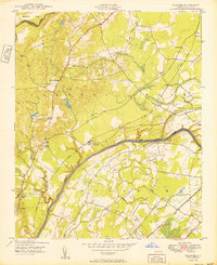
1953 · Raleigh
USGS Topo · 1:250,000

1954 · Raleigh
USGS Topo · 1:250,000
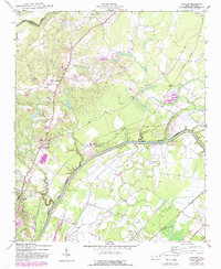
1956 · Anderson Creek
USGS Topo · 1:24,000
1956 · Bunnlevel
USGS Topo · 1:24,000