Old Maps of Como, North Carolina for Hiking & Exploration
Hike through history with 30 historic maps of Como. Explore old trails, ghost towns, and forgotten backroads — perfect for outdoor adventurers and local explorers.
- Rediscover forgotten places: Map out old mining camps, roads, and footpaths that no longer exist on modern maps.
- Layer with modern tools: Combine with LiDAR or satellite views to plan hikes through historical terrain.
- Made for exploration: Popular among hikers, overlanders, and local history lovers.
Use these maps to find adventure and explore the hidden past of Como.
Como, NC maps
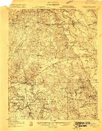
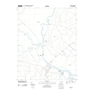
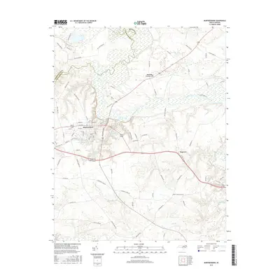
(30)- 1908 Map of Winton, 1944 Print
 1908 Winton1944 Print · USGSHertford and Gates counties thrive along the Chowan River at the turn of the century, dominated by river landings and expanding rail lines. Genealogists can trace family roots through sites like Buckland School, Sarem Grove Church, and the isolated Greens Reduco PO.2 unique versions available
 - 1919 Map of Boykins
 1919 Boykins1919 Print · USGSSouthampton County's borderlands are captured here at the end of the Great War, showing a landscape defined by river transport and rail. Genealogists can trace family footprints at Sandy Hill School, Smiths Mill, or Zion Hill Church.
 - 1920 Map of Holland
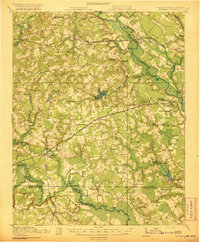
 1920 Holland1920 Print · USGSCoastal plain life at the end of the Great War centers on the river-and-rail hubs of Franklin and Holland. Genealogists can trace family footprints across dozens of country schools like Holmes School and river crossings such as Joyners Bridge and Manning Ferry.2 unique versions available
 - 1920 Map of Boykins
 1920 Boykins1920 Print · USGSCoastal plain settlements near the Virginia and North Carolina line thrive along the river systems and railroads of the post-WWI era. Genealogists can trace family roots at Ebenezer Church, Johnsons School, and mills like Smiths Mill.2 unique versions available
 - 1943 Map of Holland
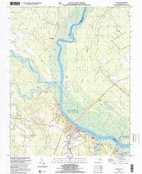
 1943 Holland1943 Print · USGSThe Virginia and North Carolina borderlands come alive in this mid-century survey of the Chowan River basin. Local historians can trace a network of river landings and rural schools, from Manning Ferry to the community around Stony Branch Church.
 - 1953 Map of Norfolk, 1954 Print
 1953 Norfolk1954 Print · USGSCoastal Virginia and northeastern North Carolina appear here during the post-war industrial boom, showing the critical rail-and-sea connections of Hampton Roads. Genealogists can trace family roots through rural landmarks like Gethsemane Ch, the Caledonia State Prison Farm, and the vast interior of the Dismal Swamp.4 unique versions available
 - 1957 Map of Holland, 1958 Print
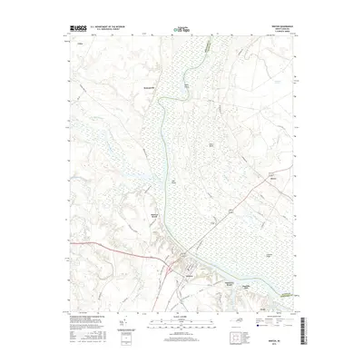
 1957 Holland1958 Print · USGSThe Virginia and North Carolina borderlands come into focus in the mid-fifties, centered on the river city of Franklin and the agricultural community of Holland. Researchers can trace early river crossings like Manning Ferry (Site) and find family roots at Oberry Sch Cem or St Matthews Ch.
 - 1966 Map of Sunbeam, 1968 Print
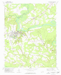
 1966 Sunbeam1968 Print · USGSCoastal plain life along the Virginia and North Carolina border comes into focus in the mid-1960s. Genealogists and local historians can trace rural family hubs at Newsoms, Statesville, and Como, or locate family sites near Harts Bridge and Windbourne Millpond.2 unique versions available
 - 1967 Map of Riverdale, 1970 Print
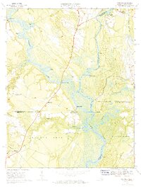 1967 Riverdale1970 Print · USGSThe convergence of the Blackwater and Nottoway Rivers at the Virginia-North Carolina border defines this late-1960s landscape. Researchers can trace the legacy of river commerce and local genealogy through numerous sites like Cobbs Wharf, Riddicksville, and Diamond Grove Ch.3 unique versions available
 - 1973 Map of Murfreesboro, 1977 Print
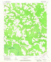
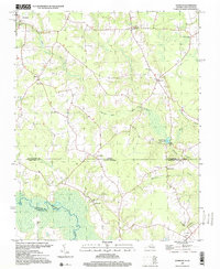
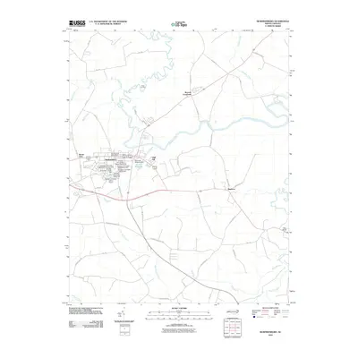
 1973 Murfreesboro1977 Print · USGSMurfreesboro and the surrounding tobacco and timber country are captured here in the early 1970s. Trace local family history through numerous rural landmarks like Barretts Crossroads, Chowan College, and Worrell Millpond.
 - 1982 Map of Winton
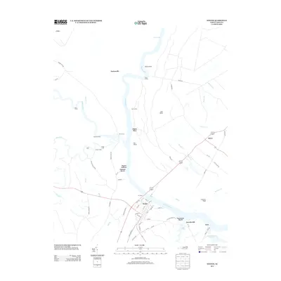
 1982 Winton1982 Print · USGSHertford and Gates Counties are mapped here in the early eighties as the riverfront communities along the Chowan River evolved. Genealogists and local historians can trace family-named sites like Askew Cem, Mt Moriah Ch, and the Brown Sch.
 - 1984 Map of Emporia, 1986 Print
 1984 Emporia1986 Print · USGSSouthside Virginia and the North Carolina borderlands are captured here in the mid-1980s, centered on the transit hub of Emporia. Researchers can trace old rail corridors like the Seaboard System or locate historic sites including Fort Christanna and White Oak Ch.
 - 1985 Map of Elizabeth City
 1985 Elizabeth City1985 Print · USGSCoastal North Carolina's rivers and sounds define the landscape of the mid-eighties, from the vast swamps to the historical waterfronts of Elizabeth City and Edenton. Researchers can trace the rail lines of the Southern Ry or locate landmarks like Beaver Hill Cem and South Mills.2 unique versions available
 - 1985 Map of Roanoke Rapids
 1985 Roanoke Rapids1985 Print · USGSNorthern North Carolina's river-driven economy is on display here in the mid-1980s, from the hydro-power at Roanoke Rapids to the rural millponds. Genealogists can trace family lands near Wiccacanee Pond, Mush Island, or the remote Urahaw Swamp.2 unique versions available
 - 1985 Map of Norfolk, 1986 Print
 1985 Norfolk1986 Print · USGSThe Tidewater region in the mid-eighties shows the dense urban expansion of the coastal cities alongside the preservation of the Great Dismal Swamp. Researchers can trace rural family-named crossroads and historic transit routes like the Seaboard Coast Line or find Somerton and Lake Drummond.3 unique versions available
 - 1990 Map of Emporia
 1990 Emporia1990 Print · USGSThe Southside Virginia borderlands are captured here in the late twentieth century, showing the critical rail and river networks of the region. Genealogists and local historians can trace family roots through rural communities like Alberta, Boykins, and Dolphin along the Meherrin River.
 - 1997 Map of Sunbeam, 2000 Print
 1997 Sunbeam2000 Print · USGSThe Virginia and North Carolina state line runs through this late-century rural landscape, where small crossroads communities and millponds define the border country. Researchers can trace family sites at Hollywood Cem or follow old routes through Sunbeam and Statesville.
 - 2000 Map of Winton, 2002 Print
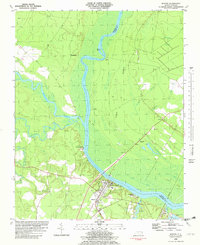
 2000 Winton2002 Print · USGSCoastal Plain river life and swamp topography are preserved here in the year 2000, centered on the Chowan River. Local researchers can trace family landmarks and community sites like Brown Sch, Askew Cem, and the riverfront at Chowan Beach.
 - 2010 Map of Winton, 2010 Print
 2010 Winton2010 Print · USGSCovers Como, including Winton, Bartonsville, and other nearby areas
 - 2010 Map of Murfreesboro, 2010 Print
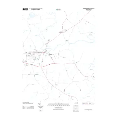
 2010 Murfreesboro2010 Print · USGSCovers Como, including Murfreesboro, Barretts Crossroads, and other nearby areas
 - 2013 Map of Murfreesboro, 2013 Print
 2013 Murfreesboro2013 Print · USGSCovers Como, including Murfreesboro, Barretts Crossroads, and other nearby areas
 - 2013 Map of Winton, 2013 Print
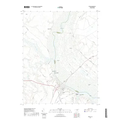
 2013 Winton2013 Print · USGSCovers Como, including Winton, Bartonsville, and other nearby areas
 - 2016 Map of Murfreesboro, 2016 Print
 2016 Murfreesboro2016 Print · USGSCovers Como, including Murfreesboro, Barretts Crossroads, and other nearby areas
 - 2016 Map of Winton, 2016 Print
 2016 Winton2016 Print · USGSCovers Como, including Winton, Bartonsville, and other nearby areas
 - 2019 Map of Winton, 2019 Print
 2019 Winton2019 Print · USGSCovers Como, including Winton, Bartonsville, and other nearby areas
Showing maps 1-25 of 30
Top cities near Como
- Franklin historical maps
- Ahoskie historical maps
- Murfreesboro historical maps
- Courtland historical maps
- Winton historical maps
- Woodland historical maps
See more
Frequently asked questions
- What are the different types of historical maps available for Como?
- What is the oldest map of Como?
- Where can I purchase historical maps of Como for my home or office?
- Where can I download high-res historical maps of Como?
- Are there historical topographic maps available for Como?
- Is there historical aerial imagery available for Como?
- Where are historical maps of Como sourced from?