Old Maps of Newsome Store, North Carolina
Explore 9 old maps of Newsome Store, spanning from 1908 to today. These high-resolution historic maps reveal how streets, neighborhoods, landmarks, and natural features evolved over time — perfect for genealogy, metal detecting, research, and local history exploration.
What you can do with these maps:
- See how Newsome Store changed over time: Compare historical maps to modern-day views to trace roads, homesites, rail lines & more.
- View detailed metadata: Each map includes creators, publishers, year, scale, and archive source.
- Overlay maps with satellite & LiDAR: Visualize the past alongside modern tools to explore terrain & human change.
- Trusted historical sources: Maps sourced from the USGS, Library of Congress, and other archives.
- Access maps your way: View online, download high-res files, or order prints for personal or research use.
Start exploring old maps of Newsome Store to uncover forgotten places, hidden landmarks, and the deep history beneath your feet.
Newsome Store, NC maps
(9)- 1908 Map of Winton, 1944 Print
 1908 Winton1944 Print · USGSHertford and Gates counties thrive along the Chowan River at the turn of the century, dominated by river landings and expanding rail lines. Genealogists can trace family roots through sites like Buckland School, Sarem Grove Church, and the isolated Greens Reduco PO.2 unique versions available
 - 1953 Map of Norfolk, 1954 Print
 1953 Norfolk1954 Print · USGSCoastal Virginia and northeastern North Carolina appear here during the post-war industrial boom, showing the critical rail-and-sea connections of Hampton Roads. Genealogists can trace family roots through rural landmarks like Gethsemane Ch, the Caledonia State Prison Farm, and the vast interior of the Dismal Swamp.4 unique versions available
 - 1982 Map of Harrellsville
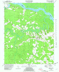 1982 Harrellsville1982 Print · USGSHarrellsville and the Wiccacon River lowlands are captured here in the early eighties as the region balanced rural farming with its river-port heritage. Researchers can locate family landmarks such as Newsome Store, Cherry Sch, and the Mt Pleasant Ch.
 - 1985 Map of Elizabeth City
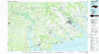 1985 Elizabeth City1985 Print · USGSCoastal North Carolina's rivers and sounds define the landscape of the mid-eighties, from the vast swamps to the historical waterfronts of Elizabeth City and Edenton. Researchers can trace the rail lines of the Southern Ry or locate landmarks like Beaver Hill Cem and South Mills.2 unique versions available
 - 2010 Map of Harrellsville, 2010 Print
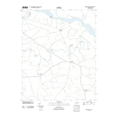 2010 Harrellsville2010 Print · USGSHarrellsville and the Chowan River lowlands are captured here in the early twenty-first century, showing a landscape defined by historic water travel. Researchers can trace numerous old river landings and crossings, including Brick Cellar Landing, the Boone Harrell Ferry, and Pettys Shore.
 - 2013 Map of Harrellsville, 2013 Print
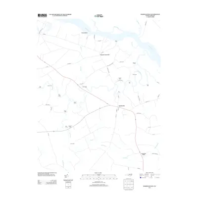 2013 Harrellsville2013 Print · USGSHertford County's river-driven landscape is captured here in the early twenty-first century, showing a network of historic landings and rural crossroads. Researchers can trace ancestral connections to places like Harrellsville, Pilands Crossroads, and the Boone Harrell Ferry.
 - 2016 Map of Harrellsville, 2016 Print
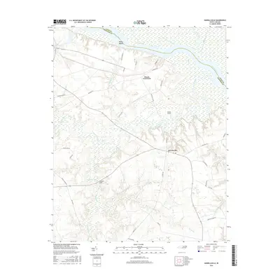 2016 Harrellsville2016 Print · USGSHertford County at the turn of the twenty-first century reveals a landscape deeply defined by the Chowan River and its dense swamp networks. Local historians can trace the rural layout of Harrellsville, the riverfront at Pettys Shore, and landmarks like Chinkapin Bridge.
 - 2019 Map of Harrellsville, 2019 Print
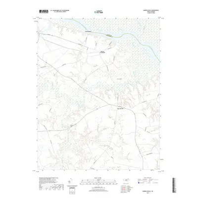 2019 Harrellsville2019 Print · USGSCoastal plain wetlands and rural settlements characterize this Hertford County landscape in the late 2010s. Genealogists and local historians can trace the roads around Harrellsville or locate riverfront sites like Pettys Shore and Cotton Island.
 - 2022 Map of Harrellsville, 2022 Print
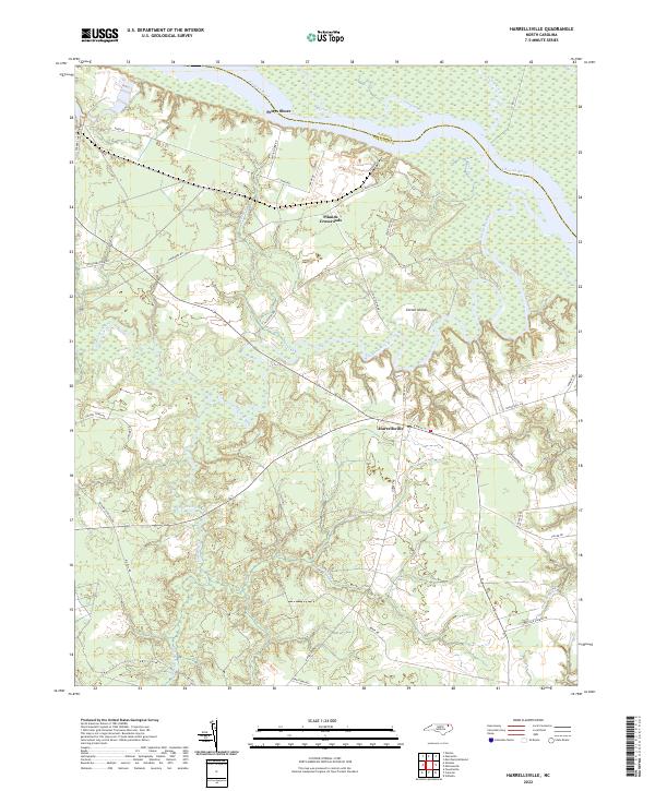 2022 Harrellsville2022 Print · USGSThe riverine lowlands of Hertford County are captured here in the early twenty-first century as they border the Chowan River. Researchers can trace the layout of Harrellsville and locate rural landmarks such as Pilands Crossroads and Pettys Shore.
End of results
Showing maps 1-9 of 9
Top cities near Newsome Store
- Edenton historical maps
- Ahoskie historical maps
- Winton historical maps
- Arrowhead Beach historical maps
- Cofield historical maps
- Sunbury historical maps
See more
Frequently asked questions
- What are the different types of historical maps available for Newsome Store?
- What is the oldest map of Newsome Store?
- Where can I purchase historical maps of Newsome Store for my home or office?
- Where can I download high-res historical maps of Newsome Store?
- Are there historical topographic maps available for Newsome Store?
- Is there historical aerial imagery available for Newsome Store?
- Where are historical maps of Newsome Store sourced from?