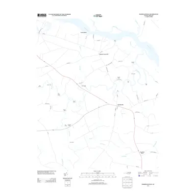
2013 Map of Harrellsville
USGS Topo · Published 2013About this map
The Chowan River and its labyrinthine tributaries define this portion of Hertford County, where the landscape transitions from riverine wetlands to established agricultural crossroads. Harrellsville serves as the central hub, situated near the confluence of several minor branches like Long Br and Flat Swamp. The map documents a significant history of river navigation and crossing, evidenced by the numerous landings and ferries that dot the shoreline. From the northern Pettys Shore to the various commercial outposts such as Pitch Landing and Brick Cellar Landing, the geography reflects an economy traditionally tied to the water.
Find a feature on this map
61 named features on this map. Tap any name to fly to it.
Don’t see what you’re looking for? This feature index may not catch every label — zoom into the map to look around manually.
Map Details
Editions of this 2013 Harrellsville Map
This is the sole edition of this map. No revisions or reprints were ever made.
Other maps of this area

1904 · Edenton
USGS Topo · 1:62,500

1906 · Beckford
USGS Topo · 1:48,000

1907 · Beckford
USGS Topo · 1:62,500

1908 · Winton
USGS Topo · 1:62,500

1940 · Beckford
USGS Topo · 1:62,500

1942 · Edenton
USGS Topo · 1:62,500

1943 · Edenton
USGS Topo · 1:62,500

1953 · Norfolk
USGS Topo · 1:250,000
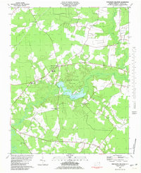
1981 · Merchants Millpond
USGS Topo · 1:24,000
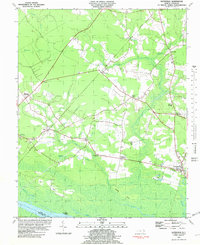
1981 · Gatesville
USGS Topo · 1:24,000