1900s (20th Century) Maps of Five Points, North Carolina
Explore 19 historic maps of Five Points from the 1900s (20th Century). These maps offer a rare glimpse into what life looked like during the 1900s — showing old roads, neighborhoods, homes, and landmarks that have changed or disappeared over time.
Whether you're researching your family's past, planning a metal detecting trip, or studying how Five Points's landscape evolved across the 1900s, these high-resolution maps are a powerful tool for exploring the history of this region.
- Focus on a specific era: All maps on this page are from the 1900s, giving you a focused view of this time period.
- See what’s changed: Compare century-old streets, trails, and buildings to today's modern landscape using overlays and satellite layers.
- Research with precision: Use these maps for genealogy, historical research, land use analysis, or educational projects.
- View, download, or print: Maps are fully viewable online in high resolution, and can be downloaded or printed for your own records.
Start exploring Five Points's history through authentic maps from the 1900s. This is your window into the past.
Five Points, NC maps
(19)- 1948 Map of Southern Pines, 1954 Print
 1948 Southern Pines1954 Print · USGSThe North Carolina Sandhills were a hub of transit and military expansion just after the war. This survey allows researchers to trace family landmarks like St Mathews Ch and Taylor Town or map the early footprints of Fort Bragg and Camp Mackall.
 - 1948 Map of Pinebluff, 1972 Print
 1948 Pinebluff1972 Print · USGSThe Sand Hills of Moore and Richmond counties are shown here just after the war, where military expansions met rural North Carolina life. Genealogists and researchers can trace the Seaboard Air Line through Addor, find family roots at Silver Springs Cemetery, and locate the old McFarland Sch.3 unique versions available
 - 1948 Map of Mc Cain, 1984 Print
 1948 Mc Cain1984 Print · USGSHoke County settlement and military expansion meet in the late 1940s along the Aberdeen and Rockfish line. Trace local roots through the rail sidings and rural hamlets of Montrose, Ashley Heights, and Timberland.3 unique versions available
 - 1949 Map of Wagram, 1953 Print
 1949 Wagram1953 Print · USGSScotland and Hoke counties were defined by the confluence of the Lumber River and vital rail lines during the late nineteen-forties. Researchers can trace ancestral locations like Gaineys Place, Purcell Cem, and the historic Bowmore station.2 unique versions available
 - 1949 Map of Silver Hill, 1953 Print
 1949 Silver Hill1953 Print · USGSScotland County's agrarian and rail-centered landscape is captured here in the mid-twentieth century, centered on the Wagram community. Genealogists and local historians can locate several family cemeteries such as McNeill Cem and rural schools like the Nashville Sch.3 unique versions available
 - 1949 Map of Laurinburg, 1954 Print
 1949 Laurinburg1954 Print · USGSThe mid-century landscape of Scotland County comes alive in this survey of a growing rail hub and its rural surroundings. Researchers can trace the lines of the Seaboard Air Line, locate historic institutions like Flora College, or find family landmarks such as McNeill Cem and Gaineys Place.
 - 1950 Map of Sanatorium
 1950 Sanatorium1950 Print · USGSThe rural communities of Hoke and Moore counties are shown here just after the war, centered on the State Tuberculosis Sanatorium. Genealogists can trace family footprints near Ashley Heights and Timberland, or locate old landmarks like Sandy Grove Ch.2 unique versions available
 - 1950 Map of Pine Bluff
 1950 Pine Bluff1950 Print · USGSThe North Carolina Sandhills are captured here at the start of the 1950s, showing a landscape defined by military training and the railroad. Genealogists and local historians can trace family sites like Silver Springs Cemetery, the McFarland Sch, and the wartime infrastructure of Camp Mackall.
 - 1953 Map of Florence, 1964 Print
 1953 Florence1964 Print · USGSThe Carolina borderlands in the mid-fifties were a landscape of vast river swamps and rising rail towns. Trace the legacy of the Seaboard Air Line through Florence or explore the wetlands surrounding Lake Waccamaw and the Green Swamp.3 unique versions available
 - 1953 Map of Raleigh, 1965 Print
 1953 Raleigh1965 Print · USGSCentral North Carolina in the early sixties shows a landscape of growing towns and military hubs before the full expansion of the interstate system. Genealogists can trace family footprints across the Piedmont through Wake Forest, Siler City, and the large Fort Bragg Military Reservation.4 unique versions available
 - 1954 Map of Florence
 1954 Florence1954 Print · USGSThe Carolinas borderlands come alive in the early fifties, showing the vital rail-and-river networks of the coastal plain. Genealogists can trace family footprints across the Green Swamp or through settlements like Red Springs, Chadbourn, and McColl.
 - 1954 Map of Raleigh
 1954 Raleigh1954 Print · USGSThe North Carolina Piedmont and Sandhills are captured in the mid-fifties during a period of steady regional growth. Genealogists and historians can trace the development of towns like Siler City or locate landmarks such as Falls of Neuse and Camp Mackall.
 - 1957 Map of Southern Pines, 1960 Print
 1957 Southern Pines1960 Print · USGSThe North Carolina Sand Hills come into focus in the late fifties, centered on the growing resorts and rail hubs of Moore County. Researchers can trace historic lineages through local landmarks like Old Notre Dame Academy, McCrimmons Chapel, and the Silver Spring Cem.
 - 1976 Map of Wagram, 1978 Print
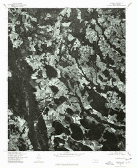 1976 Wagram1978 Print · USGSScotland County's rural landscape is captured in the mid-seventies, showing the intersection of agriculture and community life. Genealogists and historians can trace the layouts of Wagram, Bowmore, and Hickory Grove against the field lines of the era.
 - 1976 Map of Pinebluff, 1978 Print
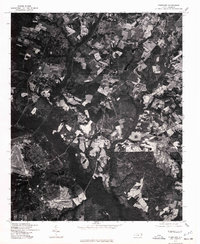 1976 Pinebluff1978 Print · USGSThe Moore County landscape near Aberdeen is captured in sharp detail in the mid-1970s through this aerial survey. Researchers and local historians can trace the exact footprint of early neighborhoods, road networks, and agricultural boundaries surrounding the town.
 - 1976 Map of Silver Hill, 1978 Print
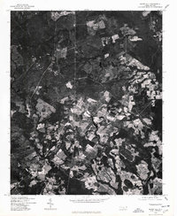 1976 Silver Hill1978 Print · USGSScotland County's rural landscapes are shown in clear photographic detail during the mid-seventies. Genealogists and land researchers can pinpoint old family farms and clearings near Silver Hill, Oak Hill, and Spring Hill along the 15 501 corridor.
 - 1976 Map of Sanatorium, 1978 Print
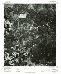 1976 Sanatorium1978 Print · USGSHoke County is captured in the mid-1970s through this detailed aerial survey of the North Carolina Sandhills. Genealogists and local historians can trace the specific field lines and rural road networks connecting Ashley Heights, Montrose, and Mc Kiethan Pond.
 - 1982 Map of Southern Pines, 1983 Print
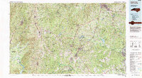 1982 Southern Pines1983 Print · USGSCentral North Carolina in the early eighties shows a landscape defined by military expansion and historic rail corridors. Researchers can trace the legacy of the Seaboard Coast Line through Pinehurst or locate landmarks like the Town Creek Indian Mound State Historic Site.
 - 1983 Map of Laurinburg, 1984 Print
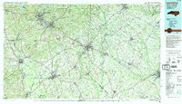 1983 Laurinburg1984 Print · USGSThe Carolina borderlands come into focus in the early 1980s, showcasing a landscape defined by the Sandhills Game Land and major river systems. Genealogists and rail historians can trace the paths of the Seaboard Coast Line Railroad through Hamlet or locate St Andrews College and Cheraw State Park.2 unique versions available
End of results
Showing maps 1-19 of 19
Top cities near Five Points
- Pinehurst historical maps
- Laurinburg historical maps
- Southern Pines historical maps
- Aberdeen historical maps
- Seven Lakes historical maps
- Raeford historical maps
See more
Frequently asked questions
- What are the different types of historical maps available for Five Points?
- What is the oldest map of Five Points?
- Where can I purchase historical maps of Five Points for my home or office?
- Where can I download high-res historical maps of Five Points?
- Are there historical topographic maps available for Five Points?
- Is there historical aerial imagery available for Five Points?
- Where are historical maps of Five Points sourced from?