2000s (21st Century) Maps of Jackson Dunes, Ocracoke
Explore 6 historic maps of Jackson Dunes from the 2000s (21st Century). These maps offer a rare glimpse into what life looked like during the 2000s — showing old roads, neighborhoods, homes, and landmarks that have changed or disappeared over time.
Whether you're researching your family's past, planning a metal detecting trip, or studying how Jackson Dunes's landscape evolved across the 2000s, these high-resolution maps are a powerful tool for exploring the history of this region.
- Focus on a specific era: All maps on this page are from the 2000s, giving you a focused view of this time period.
- See what’s changed: Compare century-old streets, trails, and buildings to today's modern landscape using overlays and satellite layers.
- Research with precision: Use these maps for genealogy, historical research, land use analysis, or educational projects.
- View, download, or print: Maps are fully viewable online in high resolution, and can be downloaded or printed for your own records.
Start exploring Jackson Dunes's history through authentic maps from the 2000s. This is your window into the past.
Jackson Dunes, Ocracoke maps
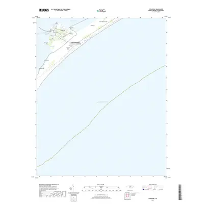
(6)- 2002 Map of Ocracoke
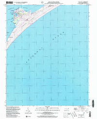 2002 Ocracoke2002 Print · USGSOcracoke Island at the start of the twenty-first century remains a narrow bastion of maritime life between the sound and the sea. Researchers can trace the village layout around Silver Lake, locate the Coast Guard Sta, and find landmarks like Springers Point or Horsepen Point.
 - 2011 Map of Ocracoke, 2011 Print
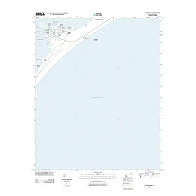 2011 Ocracoke2011 Print · USGSCovers Jackson Dunes, including Ocracoke, Hyde County, and other nearby areas
 - 2013 Map of Ocracoke, 2013 Print
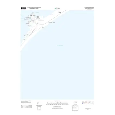 2013 Ocracoke2013 Print · USGSCovers Jackson Dunes, including Ocracoke, Hyde County, and other nearby areas
 - 2016 Map of Ocracoke, 2016 Print
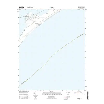 2016 Ocracoke2016 Print · USGSCovers Jackson Dunes, including Ocracoke, Hyde County, and other nearby areas
 - 2019 Map of Ocracoke, 2019 Print
 2019 Ocracoke2019 Print · USGSCovers Jackson Dunes, including Ocracoke, Hyde County, and other nearby areas
 - 2022 Map of Ocracoke, 2022 Print
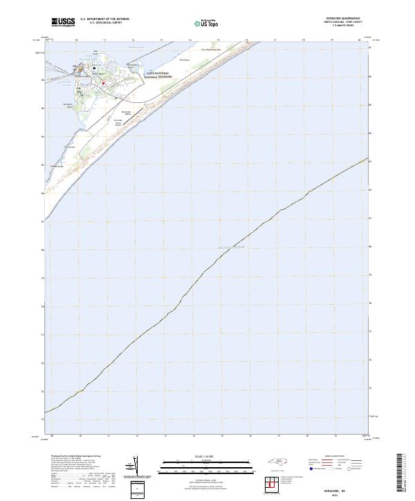 2022 Ocracoke2022 Print · USGSOcracoke Island and the Outer Banks village appear in the early 2020s as a vital maritime outpost within the Cape Hatteras National Seashore. Local historians can trace the community footprint near Silver Lake or locate sites like the British Cem and Springers Point.
End of results
Showing maps 1-6 of 6
Frequently asked questions
- What are the different types of historical maps available for Jackson Dunes?
- What is the oldest map of Jackson Dunes?
- Where can I purchase historical maps of Jackson Dunes for my home or office?
- Where can I download high-res historical maps of Jackson Dunes?
- Are there historical topographic maps available for Jackson Dunes?
- Is there historical aerial imagery available for Jackson Dunes?
- Where are historical maps of Jackson Dunes sourced from?