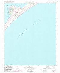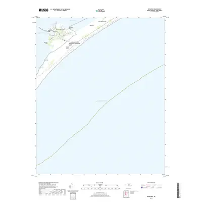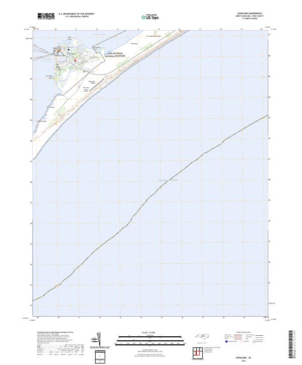
2002 Map of Ocracoke
USGS Topo · Published 2002About this map
Ocracoke village clusters around the protected waters of Silver Lake at the southwestern end of the island, serving as a gateway between the Atlantic Ocean and Pamlico Sound. This coastal environment is defined by its maritime infrastructure and shifting sands, with navigation aids like Teaches Hole Channel Lt and Cockle Shoal Lt marking the vital inlets. The land is characterized by narrow marshes and sand flats such as The Plains, while small coastal ponds like Mary Ann Pond and Northern Pond dot the interior.
Find a feature on this map
25 named features on this map. Tap any name to fly to it.
Don’t see what you’re looking for? This feature index may not catch every label — zoom into the map to look around manually.
Map Details
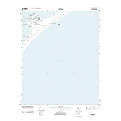
Editions of this 2002 Ocracoke Map
This is the sole edition of this map. No revisions or reprints were ever made.
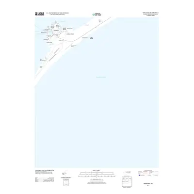
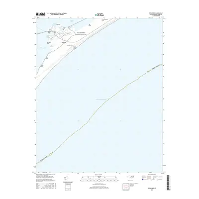
Historical Maps of Ocracoke Through Time
7 maps found