
1950 Map of Howard Reef
USGS Topo · Published 1950About this map
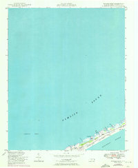
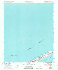
Ocracoke Island anchors this survey of the North Carolina coast, capturing the fragile barrier beach landscape as it appeared in the late 1940s. The map illustrates a period before significant development, where the geography was defined by shifting sands, maritime forests like Knoll Cedars, and small fishing or hunting outposts. Evidence of seasonal or specialized habitation appears at Cass Williams Camp and Dicks Camp, while the Telephone Line running the length of the island represents the primary infrastructure connecting these remote points. The shoreline is punctuated by natural breaks and tidal features such as the Little Swash Opening and Parkers Cr. Surveyed by the U.S. Coast and Geodetic Survey with topography verified in 1947, this record preserves the specific locations of coastal landmarks like Parkers Hill against the expanse of the Pamlico Sound.
Find a feature on this map
10 named features on this map. Tap any name to fly to it.
Don’t see what you’re looking for? This feature index may not catch every label — zoom into the map to look around manually.
Map Details
Editions of this 1950 Howard Reef Map
3 editions found
Other maps of this area

1948 · Portsmouth
USGS Topo · 1:24,000
1948 · Ocracoke
USGS Topo · 1:24,000

1950 · Portsmouth
USGS Topo · 1:24,000
1950 · Green Island
USGS Topo · 1:24,000

1953 · Rocky Mount
USGS Topo · 1:250,000

1954 · Rocky Mount
USGS Topo · 1:250,000

1955 · Wanchese
USGS Topo · 1:250,000

1957 · Manteo
USGS Topo · 1:250,000

1960 · Manteo
USGS Topo · 1:250,000

1985 · Cape Hatteras
USGS Topo · 1:100,000