Old Maps of Iredell Heights, North Carolina for Metal Detecting
Plan your next treasure hunt with 14 historic maps of Iredell Heights. Find old homesites, ghost towns, trails, and gathering spots that may be lost to time — perfect for identifying promising metal detecting locations.
- Locate forgotten sites: Uncover places like long-lost settlements, abandoned rail lines, or gathering spots.
- Plan better hunts: Use map overlays combined with LiDAR or satellite views to narrow in on historically rich areas.
- Made for detectorists: Thousands of hobbyists use these maps to discover relics, coins, and hidden history.
Use these historic maps to boost your research and find new opportunities beneath the surface of Iredell Heights.
Iredell Heights, NC maps
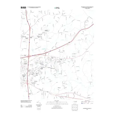
(14)- 1893 Map of Statesville, 1934 Print
 1893 Statesville1934 Print · USGSThe North Carolina Piedmont in the late nineteenth century was a landscape of river-powered industry and rail-connected crossroads. Researchers can trace ancestral locations through dozens of named mills like Ketchies Mill and historic crossings like Cornelius Ferry or Beattie Ford.2 unique versions available
 - 1953 Map of Charlotte, 1968 Print
 1953 Charlotte1968 Print · USGSThe North Carolina Piedmont and South Carolina borderlands are shown in detail during a period of significant growth and reservoir development. Trace the rail corridors of the Southern Railway or find family roots in towns like China Grove, Misenheimer, and Lincolnton.3 unique versions available
 - 1954 Map of Charlotte
 1954 Charlotte1954 Print · USGSThe North Carolina Piedmont in the mid-1950s shows a region of rapid growth and industrial expansion centered around Charlotte. Trace the era's infrastructure through the Southern railroad lines and locate significant landmarks like the Charlotte Naval Ammunition Depot and Lake Norman.2 unique versions available
 - 1960 Map of Charlotte
 1960 Charlotte1960 Print · USGSMid-century North Carolina and South Carolina meet in this 1960 survey of the Piedmont's industrial and textile heartland. Trace the growth of Charlotte alongside historic landmarks like Kings Mountain National Military Park and the Charlotte Naval Ammunition Depot.2 unique versions available
 - 1962 Map of Charlotte
 1962 Charlotte1962 Print · USGSThe North Carolina Piedmont in the early sixties showcases a landscape transformed by massive reservoirs and industrial growth. Researchers can trace the development of Lake Norman, locate the Charlotte Naval Ammunition Depot, or find family landmarks like Wesley Chapel and Brown & Norcott Mills.
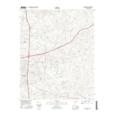
 - 1969 Map of Statesville East, 1973 Print
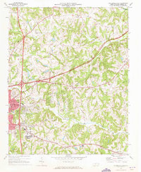 1969 Statesville East1973 Print · USGSIredell County during the late 1960s shows the growth of Statesville at the crossroads of new interstates and the historic Southern railroad. Genealogists and local historians can locate long-standing rural hubs like Belmont Cem, Bethany Ch, and Unity High Sch.
 - 1985 Map of Salisbury, 1986 Print
 1985 Salisbury1986 Print · USGSNorth Carolina’s industrial Piedmont region comes into focus during the mid-eighties as textile and rail towns expanded. Genealogists and historians can locate rural landmarks like Davidson College and Boones Cave State Park or trace the Southern Railway through Lexington and Salisbury.2 unique versions available
 - 1993 Map of Statesville East, 1995 Print
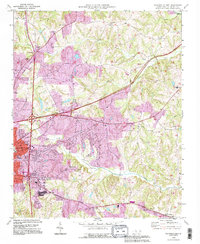 1993 Statesville East1995 Print · USGSStatesville and its eastern Iredell County environs are captured during a period of significant highway expansion in the early nineties. Researchers can trace historical local sites like the Zion Cem Cameron Ch, Ebenezer Sch, and the old Railroad Grade.
 - 2002 Map of Statesville East, 2005 Print
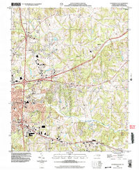 2002 Statesville East2005 Print · USGSIredell County during the early 2000s showcases a landscape of growing infrastructure layered over deep-rooted rural communities. Researchers can trace family history through numerous country landmarks including Belmont Cem, Ebenezer Sch, and Gays Chapel.
 - 2010 Map of Statesville East, 2010 Print
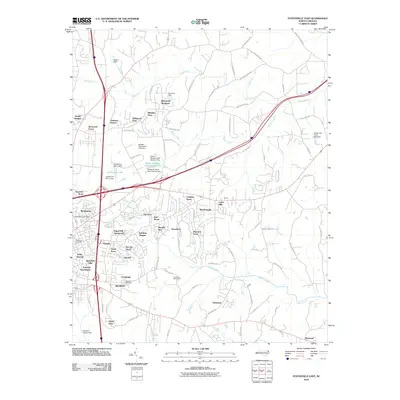 2010 Statesville East2010 Print · USGSCovers Iredell Heights, including Statesville, Glenn Echo, and other nearby areas
 - 2013 Map of Statesville East, 2013 Print
 2013 Statesville East2013 Print · USGSCovers Iredell Heights, including Statesville, Glenn Echo, and other nearby areas
 - 2016 Map of Statesville East, 2016 Print
 2016 Statesville East2016 Print · USGSCovers Iredell Heights, including Statesville, Glenn Echo, and other nearby areas
 - 2019 Map of Statesville East, 2019 Print
 2019 Statesville East2019 Print · USGSCovers Iredell Heights, including Statesville, Glenn Echo, and other nearby areas
 - 2022 Map of Statesville East, 2022 Print
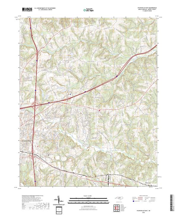 2022 Statesville East2022 Print · USGSIredell County during its modern era reveals the expansion of Statesville into the surrounding Piedmont countryside. Genealogists can trace family landmarks and local routes, from Belmont Cem to the waters of Fifth Creek and Elmwood.
End of results
Showing maps 1-14 of 14
Top cities near Iredell Heights
- Mooresville historical maps
- Statesville historical maps
- Troutman historical maps
- Cleveland historical maps
- Catawba historical maps
- Harmony historical maps
See more
Frequently asked questions
- What are the different types of historical maps available for Iredell Heights?
- What is the oldest map of Iredell Heights?
- Where can I purchase historical maps of Iredell Heights for my home or office?
- Where can I download high-res historical maps of Iredell Heights?
- Are there historical topographic maps available for Iredell Heights?
- Is there historical aerial imagery available for Iredell Heights?
- Where are historical maps of Iredell Heights sourced from?