Old Maps of Painttown Community, North Carolina for Academic Research
Study the evolution of Painttown Community with 29 high-resolution historic maps. Whether you're teaching, researching, or modeling changes in land use, these maps provide essential visual documentation of urban, environmental, and geographic change.
- Analyze long-term change: Track patterns in development, transportation, and natural features.
- Ideal for environmental or urban studies: Support academic projects with primary historical map data.
- Use in the classroom or lab: Educators and researchers rely on these maps to bring historical context to life.
These maps are a powerful tool for teaching, research, and visualizing how Painttown Community has changed over the decades.
Painttown Community, NC maps
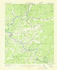
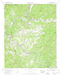
(29)- 1891 Map of Cowee
 1891 Cowee1891 Print · USGSWestern North Carolina's high mountain reaches are captured here in the late nineteenth century as the railroad began to transform the region. Trace early transport routes like the Western North Carolina Railroad and Cowee Tunnel alongside old settlements at Franklin and Quallatown.
 - 1893 Map of Mt Guyot
 1893 Mt Guyot1893 Print · USGSThe Tennessee and North Carolina borderlands are captured here in the 1890s, when isolated mountain coves and river towns relied on the Virginia and Georgia Railroad. Researchers can trace old family sites and transport routes through Fair Garden, Jones Cove, and along the Elliot Ferry Road.3 unique versions available
 - 1897 Map of Cowee
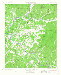
 1897 Cowee1897 Print · USGSThe Great Smoky Mountains and Blue Ridge foothills appear here in the 1890s, when the railroad first began to penetrate the high gaps. Trace family roots and mountain industry through old settlements like Quallatown, Sylva, and the Cowee Tunnel engineering site.4 unique versions available
 - 1907 Map of Cowee
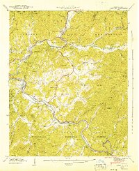
 1907 Cowee1907 Print · USGSWestern North Carolina at the turn of the century shows a landscape of rail-connected river towns and high mountain gaps. Genealogists can trace early homesteads and industry through landmarks like West Mill, Roanes Mill, and the many settlements along the Southern Railway.5 unique versions available
 - 1912 Map of Mt Guyot
 1912 Mt Guyot1912 Print · USGSThe Tennessee and North Carolina borderlands come into focus in the early twentieth century, prior to the creation of the Great Smoky Mountains National Park. Trace ancestral locations like Cataloochee and Smokemont or follow the Southern RR to Newport.5 unique versions available
 - 1933 Map of Bryson
 1933 Bryson1933 Print · USGSThe mountain valleys of Swain County are captured in the early 1930s, showing the early settlement patterns of the Great Smoky Mountains. Genealogists and historians can trace community roots through schoolhouses like Lands Creek Sch and Indian Creek Sch.
 - 1936 Map of Whittier
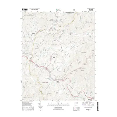
 1936 Whittier1936 Print · USGSJackson and Swain Counties are documented here during the mid-thirties as the national park and reservation boundaries were being finalized. Researchers can locate the State Prison Camp No 512, the Southern Railway line through Wilmot, and old landmarks like Worley Chapel.
 - 1936 Map of Ravensford
 1936 Ravensford1936 Print · USGSSwain County, North Carolina, appears here in the mid-1930s as the national park boundary was being established adjacent to tribal lands. Genealogists and local historians can locate the Big Cove Sch, Piney Grove Ch, and the riverside settlement of Ravensford.
 - 1940 Map of Whittier
 1940 Whittier1940 Print · USGSWestern North Carolina's high mountain valleys and Cherokee lands are meticulously documented in the years before mid-century. Genealogists and local historians can trace family locations near Whittier, the Cherokee Indian Sch, and numerous mountain burial sites like Union Hill Cem.2 unique versions available
 - 1941 Map of Whittier
 1941 Whittier1941 Print · USGSThe Tuckasegee and Oconaluftee rivers converge in this pre-war survey of Jackson and Swain Counties. Local historians can trace the Southern railroad line through Whittier or locate family roots at Union Hill Cem and the Cherokee Indian Sch.2 unique versions available
 - 1955 Map of Knoxville
 1955 Knoxville1955 Print · USGSThe Southern Appalachians and the Smoky Mountains are shown here at a peak of mid-century development and conservation. Genealogists and historians can trace the early road networks connecting Gatlinburg, Waynesville, and the Cherokee Indian Reservation across the high ridges.
 - 1957 Map of Knoxville, 1966 Print
 1957 Knoxville1966 Print · USGSThe Southern Appalachians of Tennessee and North Carolina are mapped here during the mid-twentieth century as new highways reached the high country. Genealogists and historians can trace the topography between Knoxville and Asheville, locating family landmarks near Fontana Lake or along the Blue Ridge Parkway.4 unique versions available
 - 1960 Map of Knoxville
 1960 Knoxville1960 Print · USGSThe Southern Appalachians come alive in the 1950s, showing the intersection of new national park tourism and deep-rooted mountain industry. Trace old rail lines like the Clinchfield RR and find high-altitude landmarks from Mt Le Conte to the Cherokee Indian Reservation.2 unique versions available
 - 1964 Map of Knoxville
 1964 Knoxville1964 Print · USGSThe Southern Appalachians and Great Smokies are captured here during the mid-sixties, showing the rugged borderlands of Tennessee and North Carolina. Researchers can trace historic mountain routes like U S 441, the expanse of Pisgah National Forest, and the growing footprints of Asheville and Knoxville.
 - 1964 Map of Smokemont, 1966 Print
 1964 Smokemont1966 Print · USGSThe Cherokee Indian Reservation and Great Smoky Mountains National Park meet in the mid-1960s at the confluence of the Oconaluftee River. Genealogists can locate several family burial sites including the Slave Cem, Sequoyah Cem, and Nations Cem.4 unique versions available
 - 1967 Map of Whittier, 1970 Print
 1967 Whittier1970 Print · USGSWestern North Carolina during the mid-sixties reveals the community centers of the Cherokee Indian Reservation and the mountain settlement of Whittier. Researchers can locate family landmarks like Wortley Chapel Cemetery and Rock Springs Church along the winding Tuckasegee River.5 unique versions available
 - 1983 Map of Fontana Lake
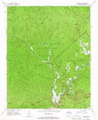
 1983 Fontana Lake1983 Print · USGSWestern North Carolina's high peaks and reservoir-carved valleys are documented here during the early eighties. Genealogists and local historians can trace the mountain communities of Bryson City and Franklin or explore the boundaries of the Qualla Boundary.2 unique versions available
 - 1983 Map of Knoxville, 1984 Print
 1983 Knoxville1984 Print · USGSThe Tennessee valley and the rising Smokies are captured here in the early eighties, showing the region as the tourism and transit hub of the Southern Appalachians. Researchers can trace the layout of the University of Tennessee or locate rural landmarks like Shady Grove Ch and Pleasant Hill Cem.
 - 2000 Map of Smokemont, 2001 Print
 2000 Smokemont2001 Print · USGSSwain County's mountain landscape is captured at the start of the millennium, showing where the National Park and the Cherokee Indian Reservation converge. Genealogists and local researchers can trace numerous family burial sites such as Slave Cem and Nations Cem alongside landmarks like Mingo Falls.
 - 2010 Map of Smokemont, 2010 Print
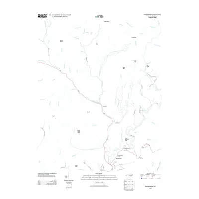
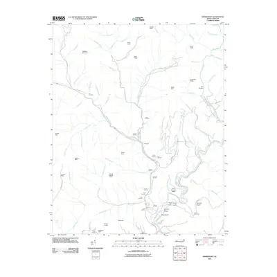 2010 Smokemont2010 Print · USGSCovers Painttown Community, including Birdtown Community, Yellowhill Community, and other nearby areas
 - 2011 Map of Whittier, 2011 Print
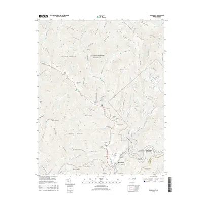
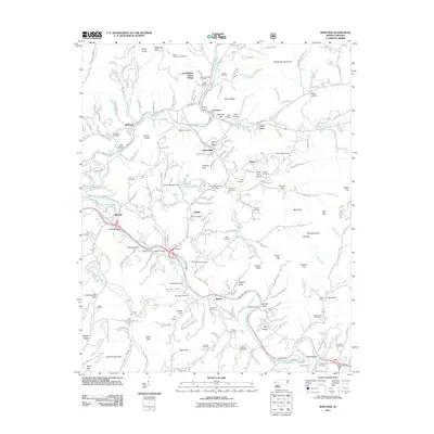 2011 Whittier2011 Print · USGSCovers Painttown Community, including Cherokee, Birdtown Community, and other nearby areas
 - 2013 Map of Whittier, 2013 Print
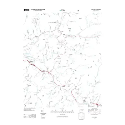 2013 Whittier2013 Print · USGSCovers Painttown Community, including Cherokee, Birdtown Community, and other nearby areas
 - 2013 Map of Smokemont, 2013 Print
 2013 Smokemont2013 Print · USGSCovers Painttown Community, including Birdtown Community, Yellowhill Community, and other nearby areas
 - 2016 Map of Whittier, 2016 Print
 2016 Whittier2016 Print · USGSCovers Painttown Community, including Cherokee, Birdtown Community, and other nearby areas
 - 2016 Map of Smokemont, 2016 Print
 2016 Smokemont2016 Print · USGSCovers Painttown Community, including Birdtown Community, Yellowhill Community, and other nearby areas
Showing maps 1-25 of 29
Top cities near Painttown Community
- Cullowhee historical maps
- Gatlinburg historical maps
- Sylva historical maps
- Cherokee historical maps
- Bryson City historical maps
- Maggie Valley historical maps
See more
Top neighborhoods of Painttown Community
Frequently asked questions
- What are the different types of historical maps available for Painttown Community?
- What is the oldest map of Painttown Community?
- Where can I purchase historical maps of Painttown Community for my home or office?
- Where can I download high-res historical maps of Painttown Community?
- Are there historical topographic maps available for Painttown Community?
- Is there historical aerial imagery available for Painttown Community?
- Where are historical maps of Painttown Community sourced from?