2000s (21st Century) Maps of Painttown Community, North Carolina
Explore 11 historic maps of Painttown Community from the 2000s (21st Century). These maps offer a rare glimpse into what life looked like during the 2000s — showing old roads, neighborhoods, homes, and landmarks that have changed or disappeared over time.
Whether you're researching your family's past, planning a metal detecting trip, or studying how Painttown Community's landscape evolved across the 2000s, these high-resolution maps are a powerful tool for exploring the history of this region.
- Focus on a specific era: All maps on this page are from the 2000s, giving you a focused view of this time period.
- See what’s changed: Compare century-old streets, trails, and buildings to today's modern landscape using overlays and satellite layers.
- Research with precision: Use these maps for genealogy, historical research, land use analysis, or educational projects.
- View, download, or print: Maps are fully viewable online in high resolution, and can be downloaded or printed for your own records.
Start exploring Painttown Community's history through authentic maps from the 2000s. This is your window into the past.
Painttown Community, NC maps
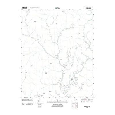
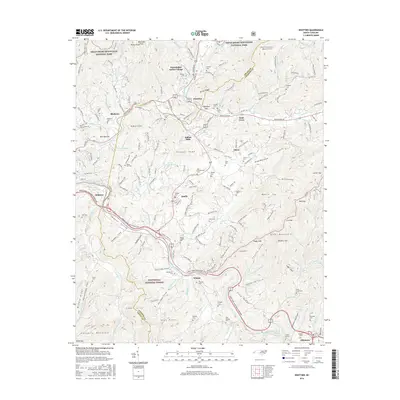
(11)- 2000 Map of Smokemont, 2001 Print
 2000 Smokemont2001 Print · USGSSwain County's mountain landscape is captured at the start of the millennium, showing where the National Park and the Cherokee Indian Reservation converge. Genealogists and local researchers can trace numerous family burial sites such as Slave Cem and Nations Cem alongside landmarks like Mingo Falls.
 - 2010 Map of Smokemont, 2010 Print
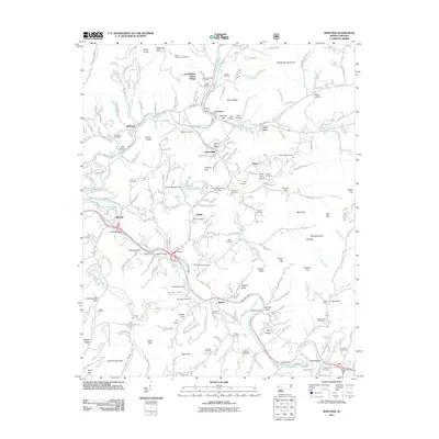
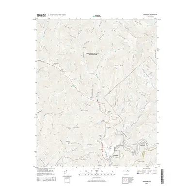
 2010 Smokemont2010 Print · USGSCovers Painttown Community, including Birdtown Community, Yellowhill Community, and other nearby areas
 - 2011 Map of Whittier, 2011 Print
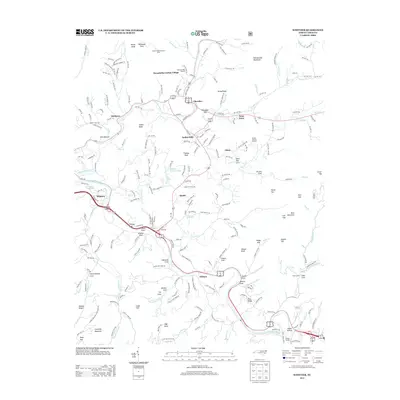
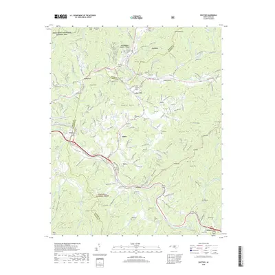
 2011 Whittier2011 Print · USGSCovers Painttown Community, including Cherokee, Birdtown Community, and other nearby areas
 - 2013 Map of Whittier, 2013 Print
 2013 Whittier2013 Print · USGSCovers Painttown Community, including Cherokee, Birdtown Community, and other nearby areas
 - 2013 Map of Smokemont, 2013 Print
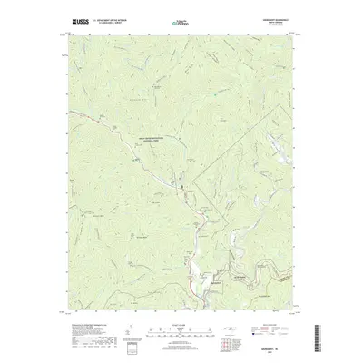
 2013 Smokemont2013 Print · USGSCovers Painttown Community, including Birdtown Community, Yellowhill Community, and other nearby areas
 - 2016 Map of Whittier, 2016 Print
 2016 Whittier2016 Print · USGSCovers Painttown Community, including Cherokee, Birdtown Community, and other nearby areas
 - 2016 Map of Smokemont, 2016 Print
 2016 Smokemont2016 Print · USGSCovers Painttown Community, including Birdtown Community, Yellowhill Community, and other nearby areas
 - 2019 Map of Smokemont, 2019 Print
 2019 Smokemont2019 Print · USGSCovers Painttown Community, including Birdtown Community, Yellowhill Community, and other nearby areas
 - 2019 Map of Whittier, 2019 Print
 2019 Whittier2019 Print · USGSCovers Painttown Community, including Cherokee, Birdtown Community, and other nearby areas
 - 2022 Map of Smokemont, 2022 Print
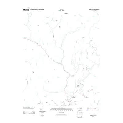
 2022 Smokemont2022 Print · USGSThe southern reaches of the Smokies come alive in this recent survey, centered on the high ridges and river valleys of Swain County. Genealogists can trace deep roots through a remarkable number of family burial sites, including the Enloe Slave Cem, Bradley Family Cem, and Jonas Jenkins Cem.
 - 2022 Map of Whittier, 2022 Print
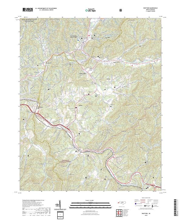 2022 Whittier2022 Print · USGSThe tribal lands and river valleys of Jackson and Swain counties are mapped here in the early 2020s. Researchers can trace ancestral sites and community landmarks like the Oconaluftee Indian Village, Yellow Hill Baptist Church, and Union Hill Cem.
End of results
Showing maps 1-11 of 11
Top cities near Painttown Community
- Cullowhee historical maps
- Gatlinburg historical maps
- Sylva historical maps
- Cherokee historical maps
- Bryson City historical maps
- Maggie Valley historical maps
See more
Top neighborhoods of Painttown Community
Frequently asked questions
- What are the different types of historical maps available for Painttown Community?
- What is the oldest map of Painttown Community?
- Where can I purchase historical maps of Painttown Community for my home or office?
- Where can I download high-res historical maps of Painttown Community?
- Are there historical topographic maps available for Painttown Community?
- Is there historical aerial imagery available for Painttown Community?
- Where are historical maps of Painttown Community sourced from?