Old Maps of Carolina Trace, North Carolina for Metal Detecting
Plan your next treasure hunt with 9 historic maps of Carolina Trace. Find old homesites, ghost towns, trails, and gathering spots that may be lost to time — perfect for identifying promising metal detecting locations.
- Locate forgotten sites: Uncover places like long-lost settlements, abandoned rail lines, or gathering spots.
- Plan better hunts: Use map overlays combined with LiDAR or satellite views to narrow in on historically rich areas.
- Made for detectorists: Thousands of hobbyists use these maps to discover relics, coins, and hidden history.
Use these historic maps to boost your research and find new opportunities beneath the surface of Carolina Trace.
Carolina Trace, NC maps
(9)- 1953 Map of Raleigh, 1965 Print
 1953 Raleigh1965 Print · USGSCentral North Carolina in the early sixties shows a landscape of growing towns and military hubs before the full expansion of the interstate system. Genealogists can trace family footprints across the Piedmont through Wake Forest, Siler City, and the large Fort Bragg Military Reservation.4 unique versions available
 - 1954 Map of Raleigh
 1954 Raleigh1954 Print · USGSThe North Carolina Piedmont and Sandhills are captured in the mid-fifties during a period of steady regional growth. Genealogists and historians can trace the development of towns like Siler City or locate landmarks such as Falls of Neuse and Camp Mackall.
 - 1977 Map of Broadway
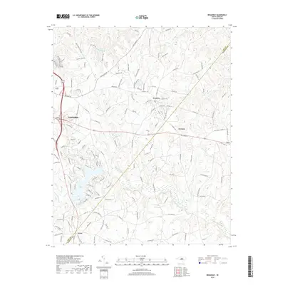
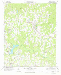 1977 Broadway1977 Print · USGSThe rural borderlands of Lee and Harnett Counties are captured here in the late seventies, centered on the growing town of Broadway. Researchers can trace old family sites and transport routes through an Old Railroad Grade and numerous country churches like Morris Chapel and Juniper Springs Ch.3 unique versions available
 - 1982 Map of Southern Pines, 1983 Print
 1982 Southern Pines1983 Print · USGSCentral North Carolina in the early eighties shows a landscape defined by military expansion and historic rail corridors. Researchers can trace the legacy of the Seaboard Coast Line through Pinehurst or locate landmarks like the Town Creek Indian Mound State Historic Site.
 - 2010 Map of Broadway, 2010 Print
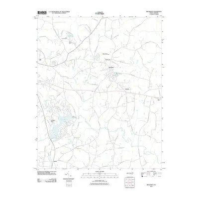 2010 Broadway2010 Print · USGSCovers Carolina Trace, including Sanford, Broadway, and other nearby areas
 - 2013 Map of Broadway, 2013 Print
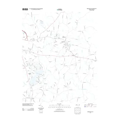 2013 Broadway2013 Print · USGSCovers Carolina Trace, including Sanford, Broadway, and other nearby areas
 - 2016 Map of Broadway, 2016 Print
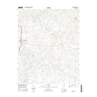 2016 Broadway2016 Print · USGSCovers Carolina Trace, including Sanford, Broadway, and other nearby areas
 - 2019 Map of Broadway, 2019 Print
 2019 Broadway2019 Print · USGSCovers Carolina Trace, including Sanford, Broadway, and other nearby areas
 - 2022 Map of Broadway, 2022 Print
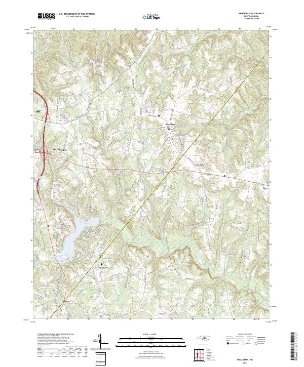 2022 Broadway2022 Print · USGSIn the early 2020s, this area of North Carolina captures the rural character and expanding residential developments south of the Deep River. Researchers can trace historic property lines and community landmarks from Broadway down to the Morris Chapel United Methodist Church Cem and Swann.
End of results
Showing maps 1-9 of 9
Top cities near Carolina Trace
- Sanford historical maps
- Linden Oaks historical maps
- Holly Springs historical maps
- Spring Lake historical maps
- Broadway historical maps
- Vass historical maps
See more
Frequently asked questions
- What are the different types of historical maps available for Carolina Trace?
- What is the oldest map of Carolina Trace?
- Where can I purchase historical maps of Carolina Trace for my home or office?
- Where can I download high-res historical maps of Carolina Trace?
- Are there historical topographic maps available for Carolina Trace?
- Is there historical aerial imagery available for Carolina Trace?
- Where are historical maps of Carolina Trace sourced from?