2000s (21st Century) Maps of Lenoir County, North Carolina
Explore 70 historic maps of Lenoir County from the 2000s (21st Century). These maps offer a rare glimpse into what life looked like during the 2000s — showing old roads, neighborhoods, homes, and landmarks that have changed or disappeared over time.
Whether you're researching your family's past, planning a metal detecting trip, or studying how Lenoir County's landscape evolved across the 2000s, these high-resolution maps are a powerful tool for exploring the history of this region.
- Focus on a specific era: All maps on this page are from the 2000s, giving you a focused view of this time period.
- See what’s changed: Compare century-old streets, trails, and buildings to today's modern landscape using overlays and satellite layers.
- Research with precision: Use these maps for genealogy, historical research, land use analysis, or educational projects.
- View, download, or print: Maps are fully viewable online in high resolution, and can be downloaded or printed for your own records.
Start exploring Lenoir County's history through authentic maps from the 2000s. This is your window into the past.
Lenoir County, NC maps
(70)- 2010 Map of Kinston, 2010 Print
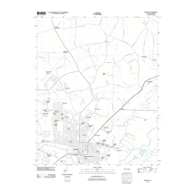 2010 Kinston2010 Print · USGSKinston and its Lenoir County surroundings are shown here in the early twenty-first century as the city expanded across the Neuse River. Researchers can trace urban neighborhoods like Eastover or find rural landmarks such as Harmony Hall, Maplewood Cemetery, and Graingers.
 - 2010 Map of Comfort, 2010 Print
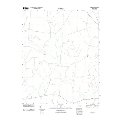 2010 Comfort2010 Print · USGSJones County at the turn of the decade remains a landscape defined by the winding Trent River and its dense bottomlands. Researchers can trace rural settlement patterns at Pleasant Hill, Comfort, and the swampy reaches of Tuckahoe Swamp.
 - 2010 Map of La Grange, 2010 Print
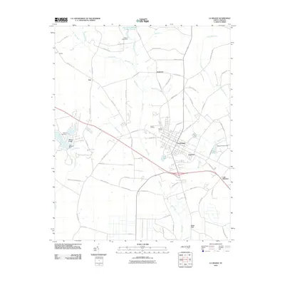 2010 La Grange2010 Print · USGSLa Grange and its surrounding Lenoir County townships are documented here during the early twenty-first century. Researchers can trace the layout of community cemeteries like Fairview Cemetery, and locate outlying settlements such as Jenny Lind, Best, and Little Baltimore.
 - 2010 Map of Falling Creek, 2010 Print
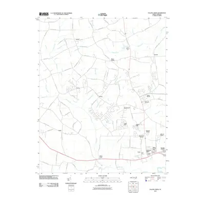 2010 Falling Creek2010 Print · USGSThis part of Lenoir County near Kinston is shown in the early 21st century as suburban growth reaches into historic farmland. Researchers can locate several burial sites including Pinelawn Cemetery and trace old crossroads at Hardison Crossroads or Institute.
 - 2010 Map of Albertson, 2010 Print
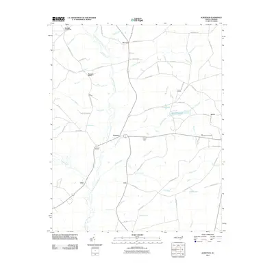 2010 Albertson2010 Print · USGSAlbertson and the surrounding Duplin County countryside are captured here in the early twenty-first century as a landscape defined by the Northeast Cape Fear River. Genealogists can trace family names through landmarks like Taylor Cemetery, Gradys Cemetery, and the community of Kornegay.
 - 2010 Map of Dover, 2010 Print
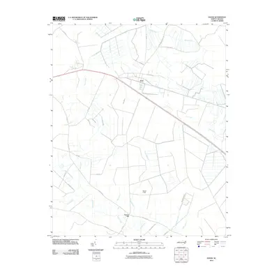 2010 Dover2010 Print · USGSInland from the North Carolina coast, this late-era survey captures the rural crossroads of Craven County during a period of modern agricultural development. Researchers can trace land tracts near Dover, identify water courses like Gum Swamp, and locate the site of Sassers Mill.
 - 2010 Map of Ayden, 2010 Print
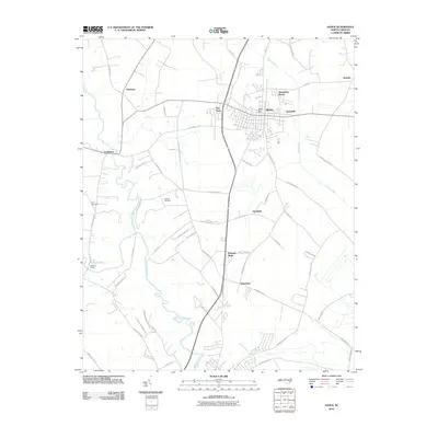 2010 Ayden2010 Print · USGSCoastal plain agriculture and modern community growth intersect in Pitt County during the early twenty-first century. Genealogists and local researchers can pinpoint family landmarks including Artis Cemetery, the rural crossroads of Scuffleton, and the winding banks of Contentnea Creek.
 - 2010 Map of Hookerton, 2010 Print
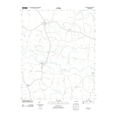 2010 Hookerton2010 Print · USGSHookerton and the surrounding Greene County farmlands are captured in the early twenty-first century as a landscape shaped by creek-side settlement and rural crossroads. Genealogists can trace family-named routes like Hooker Farm Rd and J Kenneth Hall Rd near Hugo and Maury.
 - 2010 Map of Seven Springs, 2010 Print
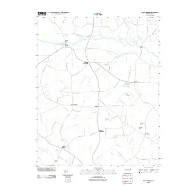 2010 Seven Springs2010 Print · USGSWayne County crossroads and river landings are documented here during the early twenty-first century. Genealogists and local historians can locate ancestral sites near Drummersville, Wootens Crossroads, and the old Whitehall Bridge over the Neuse.
 - 2010 Map of Grifton, 2010 Print
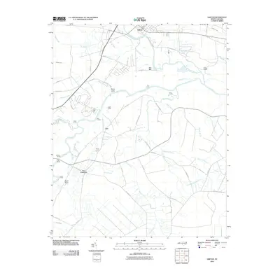 2010 Grifton2010 Print · USGSCoastal plain settlements and river landings define this North Carolina landscape at the start of the decade. Genealogists and local historians can trace family-named sites and rural crossroads like Tick Bite, Jollys Old Field Landing, and West Crossroads.
 - 2010 Map of Rivermont, 2010 Print
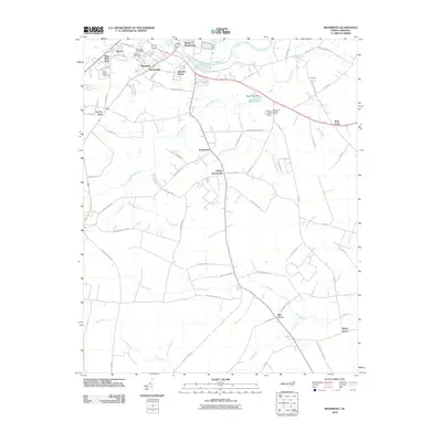 2010 Rivermont2010 Print · USGSCoastal plain settlements and winding creek systems dominate the Kinston area in the early 2000s. Genealogists can trace local roots at Southview Cemetery or explore the geography of community hubs like Loftins Crossroads and Dupreeville.
 - 2010 Map of Snow Hill, 2010 Print
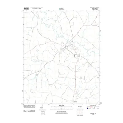 2010 Snow Hill2010 Print · USGSSnow Hill and the surrounding Greene County farmland are captured here in the early twenty-first century as they border the serpentine Contentnea Creek. Genealogists can trace family names through Snow Hill Cemetery or locate old community centers like Arba and Suggs Siding.
 - 2010 Map of Deep Run, 2010 Print
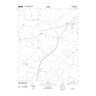 2010 Deep Run2010 Print · USGSLenoir County in the early twenty-first century reveals a landscape defined by the winding Neuse River and established rural hamlets. Local historians can trace old homestead access along John Green Smith Rd or locate the site of Tulls Mill and the Deep Run Post Office.
 - 2010 Map of Pink Hill, 2010 Print
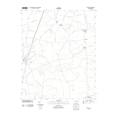 2010 Pink Hill2010 Print · USGSThe rural landscapes of Lenoir and Duplin Counties come to life in this 2010 survey of eastern North Carolina. Researchers can trace family history through numerous named crossroads and mills, including Nobles Crossroads, Lawsons Mill, and the community of Pink Hill.
 - 2013 Map of Pink Hill, 2013 Print
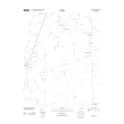 2013 Pink Hill2013 Print · USGSCoastal plain settlements and water-powered mill sites characterize this Lenoir County landscape in the early twenty-first century. Researchers can trace family-named routes and landmark crossroads like Nobles Crossroads, find old mill sites such as Lawsons Mill, or locate Pink Hill Airport.
 - 2013 Map of Comfort, 2013 Print
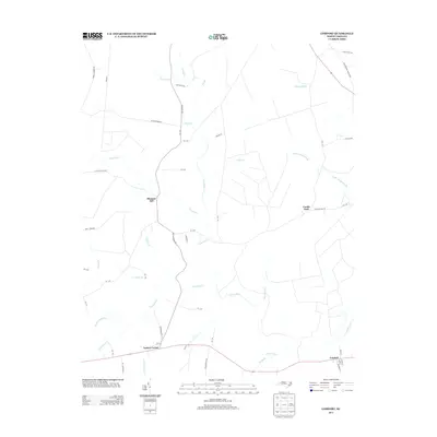 2013 Comfort2013 Print · USGSIn the early twenty-first century, the Trent River basin near Pleasant Hill remains a landscape of quiet crossroads and expansive wetlands. Genealogists and local historians can trace family-named routes like Jessie Howard Rd and locate settlements at Combs Fork and Comfort.
 - 2013 Map of Rivermont, 2013 Print
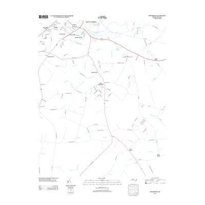 2013 Rivermont2013 Print · USGSCoastal plain settlements and river bottomlands south of Kinston come into focus during the early 2000s. Genealogists and local historians can trace family-named crossroads and landmarks like Loftins Crossroads, Dupreeville, and the Lenoir County Fairgrounds.
 - 2013 Map of Dover, 2013 Print
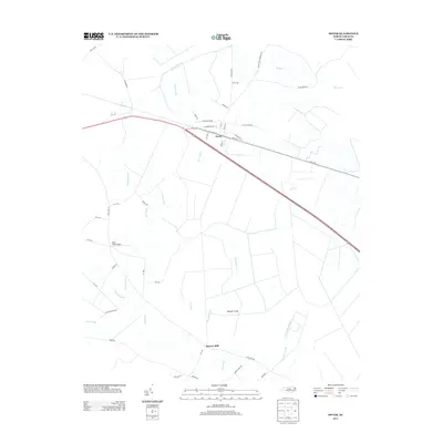 2013 Dover2013 Print · USGSDover and the surrounding Craven County wetlands are documented in the early twenty-first century as agricultural tracts meet the coastal swamps. Researchers can trace local landmarks like Sassers Mill, Hood Field Airport, and the drainage patterns of Tracey Swamp.
 - 2013 Map of Kinston, 2013 Print
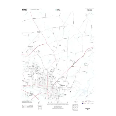 2013 Kinston2013 Print · USGSKinston and the surrounding Lenoir County landscape are captured here in the early twenty-first century as the city expanded northward. Researchers can trace neighborhood growth through Clubview and Eastover or locate landmarks like Harmony Hall and Hines Junction.
 - 2013 Map of Seven Springs, 2013 Print
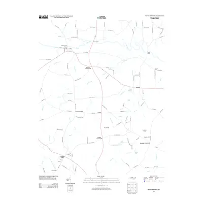 2013 Seven Springs2013 Print · USGSIn the early twenty-first century, this Wayne County landscape remains defined by its river bends and historic intersections. Trace the connections between Seven Springs and rural hubs like Husseys Crossroads or the quiet millponds at Hardy Millpond and Davis Millpond.
 - 2013 Map of Snow Hill, 2013 Print
 2013 Snow Hill2013 Print · USGSSnow Hill and the surrounding Greene County farmlands are documented here during the early twenty-first century. Researchers can trace rural lineages through family-named landmarks and locations like Arba, Suggs Siding, and the Turnage Millpond impoundment.
 - 2013 Map of Deep Run, 2013 Print
 2013 Deep Run2013 Print · USGSLenoir County in the early 2010s reveals a landscape of enduring rural settlements and winding river basins. Genealogists and local historians can trace family-named landmarks and old road junctions from Bucklesberry and Pot Neck to the waters of Tull Millpond.
 - 2013 Map of Falling Creek, 2013 Print
 2013 Falling Creek2013 Print · USGSLenoir County in the early 2010s reveals a landscape where historic rural settlements meet the suburban expansion of Kinston. Researchers can trace the evolution of communities like Institute and Parrots or locate family landmarks near Hardison Crossroads and Rochelle Corners.
 - 2013 Map of Albertson, 2013 Print
 2013 Albertson2013 Print · USGSThe Northeast Cape Fear River and Goshen Swamp define this rural Duplin County landscape as it appeared in the early 2010s. Researchers can locate family landmarks like Millers Bridge, Pink Hill Lookout Tower, and Maxwell Millpond.
 - 2013 Map of Grifton, 2013 Print
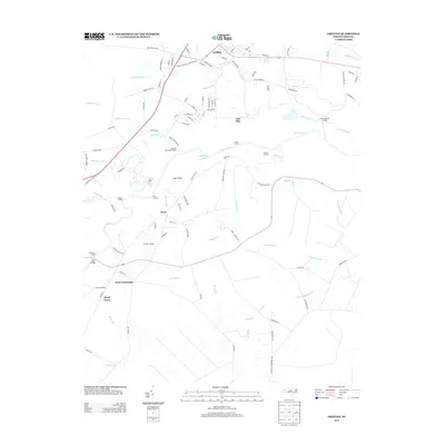 2013 Grifton2013 Print · USGSThe Grifton area at the confluence of the Neuse River and Contentnea Creek reveals a landscape of river landings and small rural crossroads. Researchers can trace the layout of early communities like Tick Bite and Closs or locate historic river access points such as Plank Landing.
Showing maps 1-25 of 70
Top cities of Lenoir County
Frequently asked questions
- What are the different types of historical maps available for Lenoir County?
- What is the oldest map of Lenoir County?
- Where can I purchase historical maps of Lenoir County for my home or office?
- Where can I download high-res historical maps of Lenoir County?
- Are there historical topographic maps available for Lenoir County?
- Is there historical aerial imagery available for Lenoir County?
- Where are historical maps of Lenoir County sourced from?