Old Maps of Eastover, Kinston for Metal Detecting
Plan your next treasure hunt with 12 historic maps of Eastover. Find old homesites, ghost towns, trails, and gathering spots that may be lost to time — perfect for identifying promising metal detecting locations.
- Locate forgotten sites: Uncover places like long-lost settlements, abandoned rail lines, or gathering spots.
- Plan better hunts: Use map overlays combined with LiDAR or satellite views to narrow in on historically rich areas.
- Made for detectorists: Thousands of hobbyists use these maps to discover relics, coins, and hidden history.
Use these historic maps to boost your research and find new opportunities beneath the surface of Eastover.
Eastover, Kinston maps
(12)- 1914 Map of Kinston
 1914 Kinston1914 Print · USGSBefore the onset of the First World War, the rural landscape of eastern North Carolina was a dense network of railroad sidings, country schools, and pocosin wetlands. Genealogists can trace family landmarks and forgotten settlements like Hookerton, Suggs Siding, and Saints Delight Church.3 unique versions available
 - 1916 Map of Kinston
 1916 Kinston1916 Print · USGSThe Neuse River and Contentnea Creek basins are shown here during the mid-1910s, capturing the transition of eastern North Carolina's rural landscape. Genealogists can locate family landmarks like Suggs School, Beulah Church, and Mewborns Crossroads.3 unique versions available
 - 1953 Map of Rocky Mount, 1964 Print
 1953 Rocky Mount1964 Print · USGSEastern North Carolina in the mid-fifties is defined by its deep river basins and the vast wetlands of the Tidewater. Genealogists can trace family roots through hubs like Kinston and New Bern or explore the wilderness of Pettigrew State Park and Lake Mattamuskeet.4 unique versions available
 - 1954 Map of Rocky Mount
 1954 Rocky Mount1954 Print · USGSEastern North Carolina is mapped in the mid-fifties, showing a landscape of sounds, swamps, and steam-era rail lines. Genealogists can trace the rural road networks and rail spurs connecting towns like Tarboro, Greenville, and the remote Columbia.
 - 1983 Map of Kinston
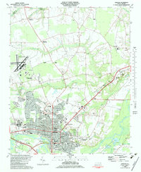 1983 Kinston1983 Print · USGSIn the early eighties, the city of Kinston stands as a vibrant regional center at the meeting of the Neuse River and major rail lines. Genealogists and historians can trace community roots through landmarks like Maplewood Cem, Grainger Stadium, and the Caswell Center.
 - 1985 Map of Kinston
 1985 Kinston1985 Print · USGSCoastal plain life and Cold War infrastructure meet in the mid-eighties as the Neuse River winds through agricultural heartlands. Researchers can locate family landmarks like Falling Creek Cem, old milling sites such as Tulls Mill, and the massive Voice of America Radio Towers.2 unique versions available
 - 1998 Map of Kinston, 2001 Print
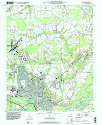 1998 Kinston2001 Print · USGSEastern North Carolina near the turn of the millennium shows the intersection of deep-rooted rural crossroads and a growing county seat. Researchers can find long-standing community landmarks from Maplewood Cem and Grainger Stadium to the small settlement of Savannah.
 - 2010 Map of Kinston, 2010 Print
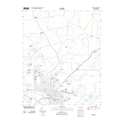 2010 Kinston2010 Print · USGSKinston and its Lenoir County surroundings are shown here in the early twenty-first century as the city expanded across the Neuse River. Researchers can trace urban neighborhoods like Eastover or find rural landmarks such as Harmony Hall, Maplewood Cemetery, and Graingers.
 - 2013 Map of Kinston, 2013 Print
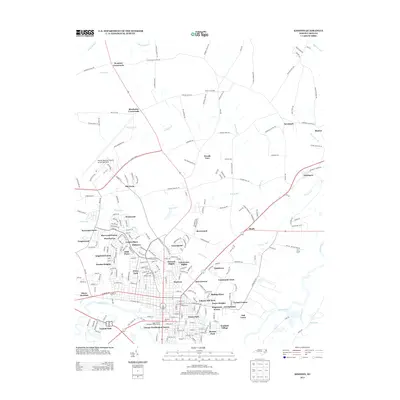 2013 Kinston2013 Print · USGSKinston and the surrounding Lenoir County landscape are captured here in the early twenty-first century as the city expanded northward. Researchers can trace neighborhood growth through Clubview and Eastover or locate landmarks like Harmony Hall and Hines Junction.
 - 2016 Map of Kinston, 2016 Print
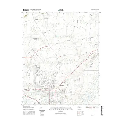 2016 Kinston2016 Print · USGSKinston and the Neuse River valley are captured in this modern survey of central Lenoir County. Genealogists and local historians can trace the residential streets of Georgetown or locate burials in Maplewood Cemetery and Oak Hill Cemetery.
 - 2019 Map of Kinston, 2019 Print
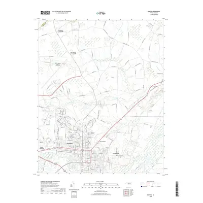 2019 Kinston2019 Print · USGSKinston and the surrounding Lenoir County countryside are shown here in the late twenty-tens, centered on the Neuse River corridor. Researchers can trace family sites near Maplewood Cem, find old rural hubs like Wootens Crossroads, and locate Hines Junction.
 - 2022 Map of Kinston, 2022 Print
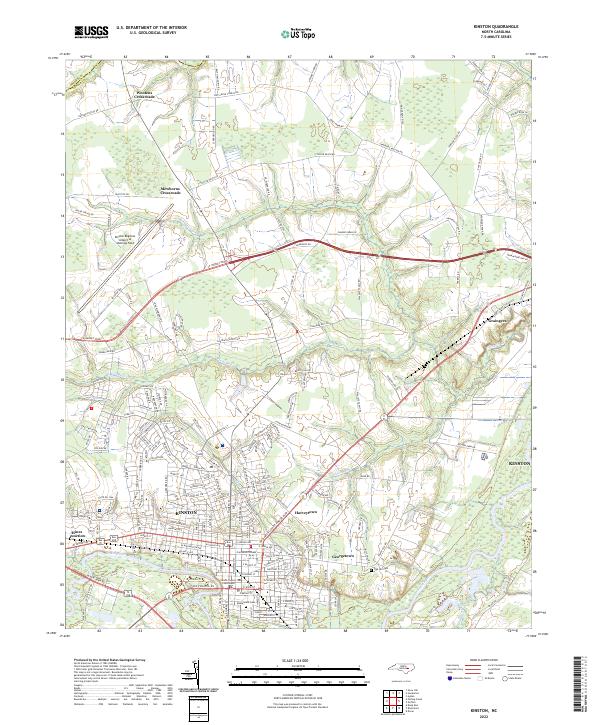 2022 Kinston2022 Print · USGSEastern North Carolina's coastal plain comes alive in this contemporary view of the Kinston area, showing the city's growth alongside the Neuse River. Researchers can trace local landmarks like Oak Hill Cem, the Lenoir County Courthouse, and outlying communities such as Graingers.
End of results
Showing maps 1-12 of 12
Top cities near Eastover
- Kinston historical maps
- Ayden historical maps
- Winterville historical maps
- La Grange historical maps
- Snow Hill historical maps
- Pink Hill historical maps
See more
Frequently asked questions
- What are the different types of historical maps available for Eastover?
- What is the oldest map of Eastover?
- Where can I purchase historical maps of Eastover for my home or office?
- Where can I download high-res historical maps of Eastover?
- Are there historical topographic maps available for Eastover?
- Is there historical aerial imagery available for Eastover?
- Where are historical maps of Eastover sourced from?