Old Maps of Luck, North Carolina for Metal Detecting
Plan your next treasure hunt with 15 historic maps of Luck. Find old homesites, ghost towns, trails, and gathering spots that may be lost to time — perfect for identifying promising metal detecting locations.
- Locate forgotten sites: Uncover places like long-lost settlements, abandoned rail lines, or gathering spots.
- Plan better hunts: Use map overlays combined with LiDAR or satellite views to narrow in on historically rich areas.
- Made for detectorists: Thousands of hobbyists use these maps to discover relics, coins, and hidden history.
Use these historic maps to boost your research and find new opportunities beneath the surface of Luck.
Luck, NC maps
(15)- 1894 Map of Asheville
 1894 Asheville1894 Print · USGSAsheville and the French Broad River valley are shown here in the 1890s, when rail travel was transforming the Southern Appalachians. Genealogists can locate family landmarks like Gudgers Mill, Pendletons Mill, and the early development of Biltmore.2 unique versions available
 - 1901 Map of Asheville
 1901 Asheville1901 Print · USGSWestern North Carolina at the turn of the century shows a mountain landscape adapting to the arrival of major railroads. Genealogists and historians can trace family-named peaks and early communities like Mars Hill, Hot Springs, and the estates at Biltmore.9 unique versions available
 - 1936 Map of Sandymush
 1936 Sandymush1936 Print · USGSBuncombe and Madison Counties are captured in the mid-1930s as high-country communities transitioned toward modern road systems. Researchers can trace family roots through numerous mountain houses and rural landmarks like Sandymush Brick Ch, Gentrys Mill, and Lusk Chapel.
 - 1941 Map of Sandymush, 1957 Print
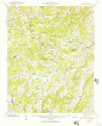 1941 Sandymush1957 Print · USGSThe high ridges and deep coves of the Blue Ridge come alive in this early 1940s survey of the Madison and Buncombe county lines. Local historians can trace family-named gaps and rural congregations like Little Sandymush Ch, Ebenezer Ch, and the remote settlement of Luck.3 unique versions available
 - 1942 Map of Sandymush
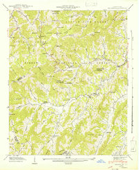 1942 Sandymush1942 Print · USGSThe high ridges of Madison and Buncombe counties come alive in this early 1940s survey, showing mountain life within the Pisgah National Forest. Genealogists can trace family roots at remote landmarks like Lusk Chapel, Chestnut Grove Ch, and Jones Valley Ch.
 - 1955 Map of Knoxville
 1955 Knoxville1955 Print · USGSThe Southern Appalachians and the Smoky Mountains are shown here at a peak of mid-century development and conservation. Genealogists and historians can trace the early road networks connecting Gatlinburg, Waynesville, and the Cherokee Indian Reservation across the high ridges.
 - 1957 Map of Knoxville, 1966 Print
 1957 Knoxville1966 Print · USGSThe Southern Appalachians of Tennessee and North Carolina are mapped here during the mid-twentieth century as new highways reached the high country. Genealogists and historians can trace the topography between Knoxville and Asheville, locating family landmarks near Fontana Lake or along the Blue Ridge Parkway.4 unique versions available
 - 1960 Map of Knoxville
 1960 Knoxville1960 Print · USGSThe Southern Appalachians come alive in the 1950s, showing the intersection of new national park tourism and deep-rooted mountain industry. Trace old rail lines like the Clinchfield RR and find high-altitude landmarks from Mt Le Conte to the Cherokee Indian Reservation.2 unique versions available
 - 1964 Map of Knoxville
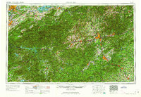 1964 Knoxville1964 Print · USGSThe Southern Appalachians and Great Smokies are captured here during the mid-sixties, showing the rugged borderlands of Tennessee and North Carolina. Researchers can trace historic mountain routes like U S 441, the expanse of Pisgah National Forest, and the growing footprints of Asheville and Knoxville.
 - 1985 Map of Asheville
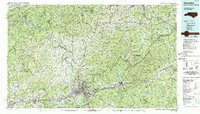 1985 Asheville1985 Print · USGSWestern North Carolina during the mid-eighties shows a region of deep mountain heritage and expanding highway networks. Genealogists and historians can trace the foundations of Asheville alongside older rail corridors like the Clinchfield Railroad and the high elevations of Mount Mitchell.2 unique versions available
 - 2011 Map of Sandymush, 2011 Print
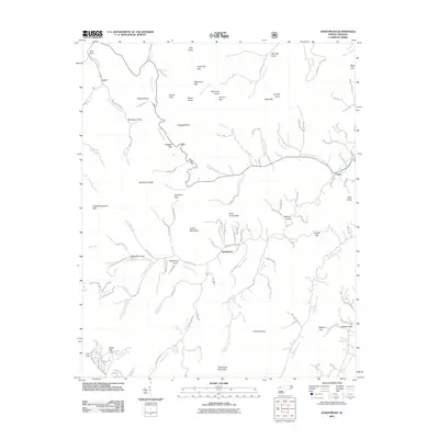 2011 Sandymush2011 Print · USGSThe mountain valleys around Sandymush and Luck are shown here as they appeared in the early 2000s, defined by deep coves and high gaps. Researchers can locate family-named landmarks like Worley Cove, Robinson Cove, and Pinnacle Knob along the Sandymush Creek drainage.
 - 2013 Map of Sandymush, 2013 Print
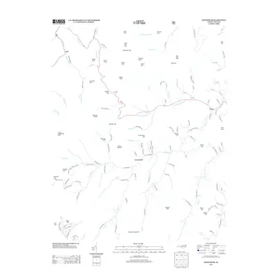 2013 Sandymush2013 Print · USGSThe mountain hollows of Madison County appear in great detail during the early twenty-first century, showing a landscape of traditional settlements and named ridges. Genealogists can trace family connections to places like Plemmons Cove, Sandymush, and Greasy Cove.
 - 2016 Map of Sandymush, 2016 Print
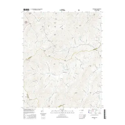 2016 Sandymush2016 Print · USGSThe mountain communities of Madison and Buncombe counties are shown in detail during the mid-2010s. Researchers can locate family landmarks in Worley Cove and Robinson Cove or trace the old paths through Doggett Gap and Little Pine Gap.
 - 2019 Map of Sandymush, 2019 Print
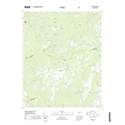 2019 Sandymush2019 Print · USGSThe high coves of Madison and Buncombe counties are documented here in the late 2010s, showing the rural landscape around Sandymush. Researchers can trace family-named landmarks and mountain passages like Doggett Gap, Plemmons Cove, and Luck.
 - 2022 Map of Sandymush, 2022 Print
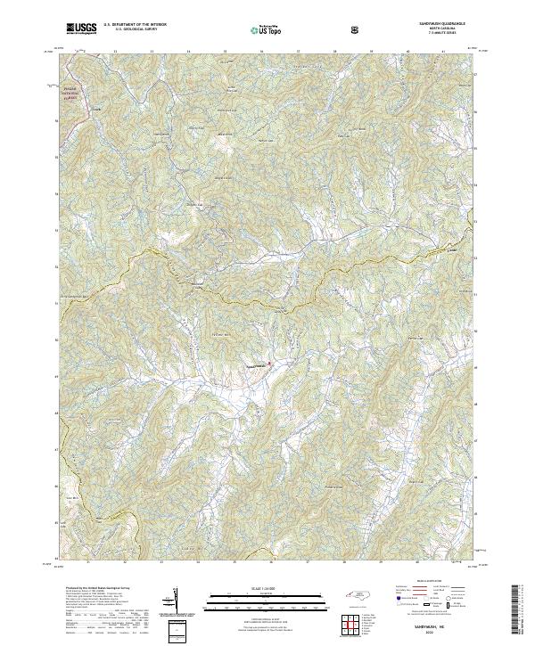 2022 Sandymush2022 Print · USGSThe high country of the Blue Ridge comes into focus in the early 2020s, showing the intricate mountain coves of western North Carolina. Genealogists and hikers can trace the winding paths of Suttle Cove Rd near Sandymush or explore the gaps around Luck.
End of results
Showing maps 1-15 of 15
Top cities near Luck
- Asheville historical maps
- Waynesville historical maps
- Canton historical maps
- Clyde historical maps
- Maggie Valley historical maps
- Marshall historical maps
See more
Frequently asked questions
- What are the different types of historical maps available for Luck?
- What is the oldest map of Luck?
- Where can I purchase historical maps of Luck for my home or office?
- Where can I download high-res historical maps of Luck?
- Are there historical topographic maps available for Luck?
- Is there historical aerial imagery available for Luck?
- Where are historical maps of Luck sourced from?