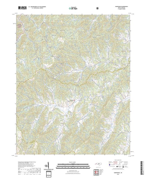
2022 Map of Sandymush
USGS Topo · Published 2022About this map
Sandymush sits at the heart of this landscape where the high peaks of the Blue Ridge meet the branching headwaters of Sandymush Cr. The map reveals a complex system of coves and gaps that historically dictated travel and settlement patterns along the Madison and Buncombe county lines. Remote settlements like Luck and Canto occupy the periphery, while the deep recesses of Plemmons Cove and Robinson Cove are defined by the steep rises of Newfound Mtn and Lee Mtn.
Find a feature on this map
127 named features on this map. Tap any name to fly to it.
Don’t see what you’re looking for? This feature index may not catch every label — zoom into the map to look around manually.
Map Details
Editions of this 2022 Sandymush Map
This is the sole edition of this map. No revisions or reprints were ever made.
Other maps of this area

1894 · Asheville
USGS Topo · 1:125,000

1901 · Asheville
USGS Topo · 1:125,000

1935 · Canton
USGS Topo · 1:24,000

1935 · Clyde
USGS Topo · 1:24,000

1935 · Spring Creek
USGS Topo · 1:24,000

1935 · Lemon Gap
USGS Topo · 1:24,000

1936 · Marshall
USGS Topo · 1:24,000

1936 · Sandymush
USGS Topo · 1:24,000

1936 · Enka
USGS Topo · 1:24,000

1936 · Hepco
USGS Topo · 1:24,000