Old Maps of Ashford, North Carolina for Metal Detecting
Plan your next treasure hunt with 15 historic maps of Ashford. Find old homesites, ghost towns, trails, and gathering spots that may be lost to time — perfect for identifying promising metal detecting locations.
- Locate forgotten sites: Uncover places like long-lost settlements, abandoned rail lines, or gathering spots.
- Plan better hunts: Use map overlays combined with LiDAR or satellite views to narrow in on historically rich areas.
- Made for detectorists: Thousands of hobbyists use these maps to discover relics, coins, and hidden history.
Use these historic maps to boost your research and find new opportunities beneath the surface of Ashford.
Ashford, NC maps
(15)- 1905 Map of Morganton, 1941 Print
 1905 Morganton1941 Print · USGSThe foothills and high peaks of the Blue Ridge come alive in the early twentieth century, centered on the growing towns of Morganton and Lenoir. Genealogists and historians can trace the early rail corridor of the Southern Railway and locate vanished landmarks like Arneys Store and Rutherford College.2 unique versions available
 - 1953 Map of Charlotte, 1968 Print
 1953 Charlotte1968 Print · USGSThe North Carolina Piedmont and South Carolina borderlands are shown in detail during a period of significant growth and reservoir development. Trace the rail corridors of the Southern Railway or find family roots in towns like China Grove, Misenheimer, and Lincolnton.3 unique versions available
 - 1954 Map of Charlotte
 1954 Charlotte1954 Print · USGSThe North Carolina Piedmont in the mid-1950s shows a region of rapid growth and industrial expansion centered around Charlotte. Trace the era's infrastructure through the Southern railroad lines and locate significant landmarks like the Charlotte Naval Ammunition Depot and Lake Norman.2 unique versions available
 - 1956 Map of Ashford, 1958 Print
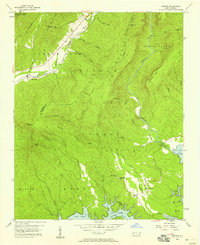 1956 Ashford1958 Print · USGSThe Linville Gorge and Pisgah National Forest meet in the mid-1950s as the river valleys transition to mountain wilderness. Trace family roots at South Mtn Institute, Brown Cem, or the old settlement of North Cove.3 unique versions available
 - 1956 Map of Linville Falls, 1962 Print
 1956 Linville Falls1962 Print · USGSThe North Carolina high country is captured here during the mid-fifties, centered on the steep descent of the Linville River. Genealogists and hikers can trace old mountain communities and landmarks like the South Mtn Institute, Linville Caverns, and Wise Cem.2 unique versions available
 - 1960 Map of Charlotte
 1960 Charlotte1960 Print · USGSMid-century North Carolina and South Carolina meet in this 1960 survey of the Piedmont's industrial and textile heartland. Trace the growth of Charlotte alongside historic landmarks like Kings Mountain National Military Park and the Charlotte Naval Ammunition Depot.2 unique versions available
 - 1962 Map of Charlotte
 1962 Charlotte1962 Print · USGSThe North Carolina Piedmont in the early sixties showcases a landscape transformed by massive reservoirs and industrial growth. Researchers can trace the development of Lake Norman, locate the Charlotte Naval Ammunition Depot, or find family landmarks like Wesley Chapel and Brown & Norcott Mills.
 - 1986 Map of Hickory
 1986 Hickory1986 Print · USGSWestern North Carolina's foothills are seen here in the mid-eighties as textile and furniture towns flourished along the river. Trace the development of Hickory and Lenoir or locate local landmarks like Burke Chapel, Saw Mills, and Rhodhiss Lake.3 unique versions available
 - 1993 Map of Ashford, 1996 Print
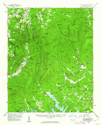
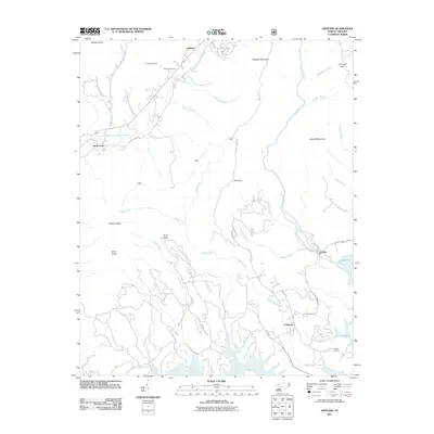
 1993 Ashford1996 Print · USGSThe northern shores of Lake James and the steep descent into the Linville Gorge Wilderness Area define this McDowell and Burke County landscape in the 1990s. Researchers can locate the South Mtn Institute, Brown Cem, and the community of Ashford.
 - 1994 Map of Ashford, 1998 Print
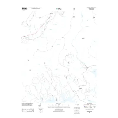
 1994 Ashford1998 Print · USGSThe McDowell and Burke county lines meet here in the 1990s as high mountain wilderness gives way to the backwaters of the Catawba. Trace the route of the Clinchfield RR or locate historic sites like the South Mountain Institute and Brown Cemetery.2 unique versions available
 - 2011 Map of Ashford, 2011 Print
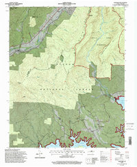
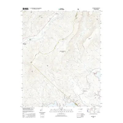
 2011 Ashford2011 Print · USGSCovers Ashford, including Longtown, Linville, and other nearby areas
 - 2013 Map of Ashford, 2013 Print
 2013 Ashford2013 Print · USGSCovers Ashford, including Longtown, Linville, and other nearby areas
 - 2016 Map of Ashford, 2016 Print
 2016 Ashford2016 Print · USGSCovers Ashford, including Longtown, Linville, and other nearby areas
 - 2019 Map of Ashford, 2019 Print
 2019 Ashford2019 Print · USGSCovers Ashford, including Longtown, Linville, and other nearby areas
 - 2022 Map of Ashford, 2022 Print
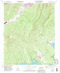
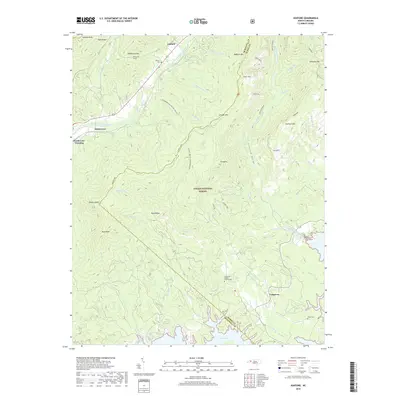
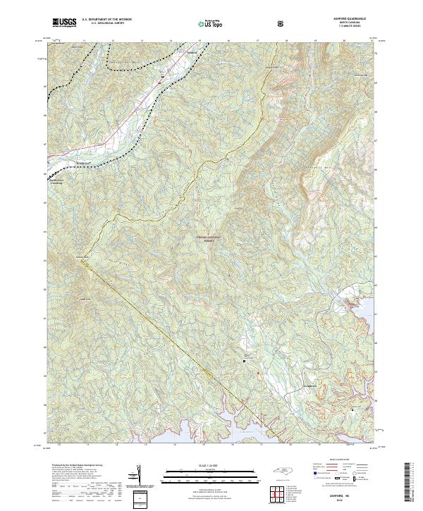 2022 Ashford2022 Print · USGSThe Burke and McDowell county line crosses this mountain landscape as it appeared in the early 2020s, anchored by the rugged Linville Gorge and Lake James. Genealogists and hikers can trace historical connections at Oak Grove Baptist Church/Cem and the Overmountain Victory National Historic Trl.
End of results
Showing maps 1-15 of 15
Top cities near Ashford
- Morganton historical maps
- Marion historical maps
- Spruce Pine historical maps
- Nebo historical maps
- Glen Alpine historical maps
- Newland historical maps
See more
Frequently asked questions
- What are the different types of historical maps available for Ashford?
- What is the oldest map of Ashford?
- Where can I purchase historical maps of Ashford for my home or office?
- Where can I download high-res historical maps of Ashford?
- Are there historical topographic maps available for Ashford?
- Is there historical aerial imagery available for Ashford?
- Where are historical maps of Ashford sourced from?