Old Maps of Jugtown, North Carolina
Explore 10 old maps of Jugtown, spanning from 1953 to today. These high-resolution historic maps reveal how streets, neighborhoods, landmarks, and natural features evolved over time — perfect for genealogy, metal detecting, research, and local history exploration.
What you can do with these maps:
- See how Jugtown changed over time: Compare historical maps to modern-day views to trace roads, homesites, rail lines & more.
- View detailed metadata: Each map includes creators, publishers, year, scale, and archive source.
- Overlay maps with satellite & LiDAR: Visualize the past alongside modern tools to explore terrain & human change.
- Trusted historical sources: Maps sourced from the USGS, Library of Congress, and other archives.
- Access maps your way: View online, download high-res files, or order prints for personal or research use.
Start exploring old maps of Jugtown to uncover forgotten places, hidden landmarks, and the deep history beneath your feet.
Jugtown, NC maps
(10)- 1953 Map of Raleigh, 1965 Print
 1953 Raleigh1965 Print · USGSCentral North Carolina in the early sixties shows a landscape of growing towns and military hubs before the full expansion of the interstate system. Genealogists can trace family footprints across the Piedmont through Wake Forest, Siler City, and the large Fort Bragg Military Reservation.4 unique versions available
 - 1954 Map of Raleigh
 1954 Raleigh1954 Print · USGSThe North Carolina Piedmont and Sandhills are captured in the mid-fifties during a period of steady regional growth. Genealogists and historians can trace the development of towns like Siler City or locate landmarks such as Falls of Neuse and Camp Mackall.
 - 1968 Map of Erect, 1973 Print
 1968 Erect1973 Print · USGSNorth Carolina's Piedmont hills are revealed here in the late sixties, highlighting the rural pottery and farming communities of Randolph and Moore counties. Genealogists can locate family landmarks like Jugtown, Yow Mill, and Needhams Grove Ch.
 - 1984 Map of Chapel Hill, 1985 Print
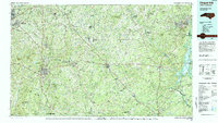 1984 Chapel Hill1985 Print · USGSNorth Carolina’s Piedmont and the northern reaches of the Uwharrie Mountains are captured here in the mid-eighties. Genealogists can trace family roots through rural landmarks like Union Chapel or locate old rail stops along the Seaboard line.
 - 1994 Map of Erect, 1998 Print
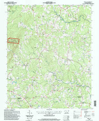 1994 Erect1998 Print · USGSThe North Carolina Piedmont is documented here in the mid-1990s, where the Randolph Co and Moore Co border meets. Genealogists can trace rural life through numerous sites like Needhams Grove Church, Yow Mill, and Erect.
 - 2011 Map of Erect, 2011 Print
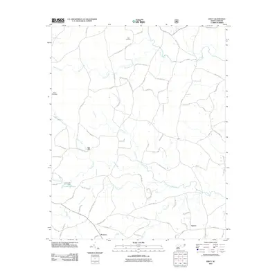 2011 Erect2011 Print · USGSThe rural communities of Jugtown and Erect are captured in this modern survey of Moore County's traditional pottery and milling country. Genealogists and historians can locate old industrial landmarks like Lambert Mill, Yow Mill, and the settlement of Westmore.
 - 2013 Map of Erect, 2013 Print
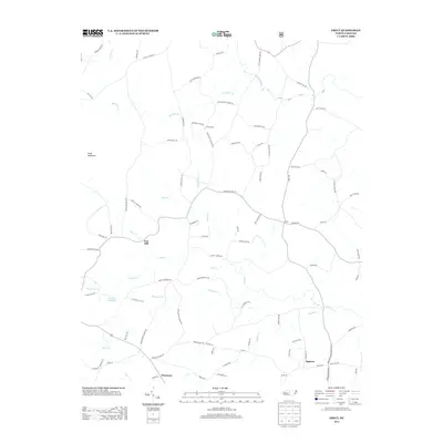 2013 Erect2013 Print · USGSMoore County's pottery traditions and rural settlements are captured here in the early twenty-first century. Genealogists and local historians can trace family land via Adams Rd or locate the historic sites of Yow Mill and Lambert Mill Dam.
 - 2016 Map of Erect, 2016 Print
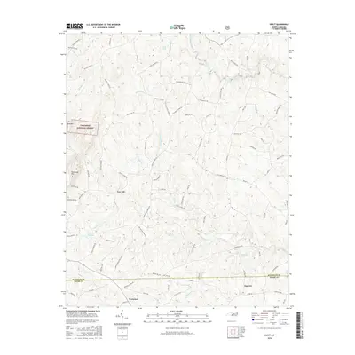 2016 Erect2016 Print · USGSThe Randolph and Moore county line remains a landscape of traditional communities and timberland in the mid-2010s. Researchers can trace historic local centers like Jugtown and Erect or locate old industrial sites like Yow Mill and Lambert Mill Dam.
 - 2019 Map of Erect, 2019 Print
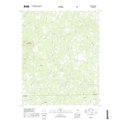 2019 Erect2019 Print · USGSThe border of Randolph and Moore counties comes alive in this contemporary survey of North Carolina's pottery and milling country. Genealogists can trace family holdings and heritage sites near Jugtown, Yow Mill, and the quiet crossroads of Erect.
 - 2022 Map of Erect, 2022 Print
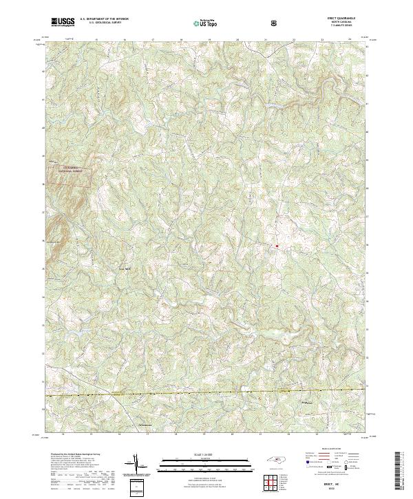 2022 Erect2022 Print · USGSRandolph and Moore counties are captured here in the early 2020s, showing a Piedmont landscape defined by its creek-fed hollows and long-standing rural communities. Genealogists and historians can trace family-named routes and industrial remnants like Yow Mill, Lambert Mill Dam, and the pottery heritage near Jugtown.
End of results
Showing maps 1-10 of 10
Top cities near Jugtown
- Asheboro historical maps
- Siler City historical maps
- Seven Lakes historical maps
- Troy historical maps
- Carthage historical maps
- Ramseur historical maps
See more
Frequently asked questions
- What are the different types of historical maps available for Jugtown?
- What is the oldest map of Jugtown?
- Where can I purchase historical maps of Jugtown for my home or office?
- Where can I download high-res historical maps of Jugtown?
- Are there historical topographic maps available for Jugtown?
- Is there historical aerial imagery available for Jugtown?
- Where are historical maps of Jugtown sourced from?