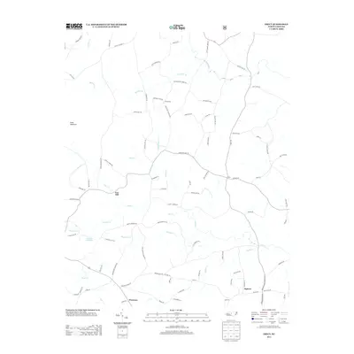
2013 Map of Erect
USGS Topo · Published 2013About this map
Jugtown and Erect anchor this rural landscape in central North Carolina, where the local economy and road network are deeply intertwined with the winding courses of Fork Cr and Bachelor Cr. The settlement of Yow Mill and the Lambert Mill Dam on Lambert Cr point to a history of water-powered industry that once supported these farming communities. Further south, the map reveals the small crossroads of Westmore, situated near the headwaters of Bear Cr. The terrain is defined by low-lying ridges such as Pond Mountain, with numerous family-named roads like Adams Rd, Bennett Rd, and Brower Mill Rd providing access to the interior. This survey documents the persistent rural character of the region, where legacy homesteads and small-scale infrastructure remain central to the geography.
Find a feature on this map
91 named features on this map. Tap any name to fly to it.
Don’t see what you’re looking for? This feature index may not catch every label — zoom into the map to look around manually.
Map Details
Editions of this 2013 Erect Map
This is the sole edition of this map. No revisions or reprints were ever made.
Other maps of this area
1942 · Troy
USGS Topo · 1:125,000
1953 · Raleigh
USGS Topo · 1:250,000
1954 · Raleigh
USGS Topo · 1:250,000
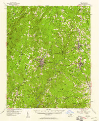
1957 · Troy
USGS Topo · 1:62,500
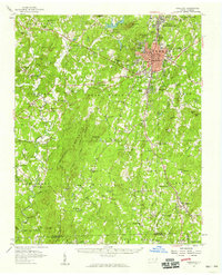
1957 · Asheboro
USGS Topo · 1:62,500
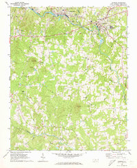
1968 · Ramseur
USGS Topo · 1:24,000
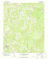
1968 · Coleridge
USGS Topo · 1:24,000
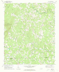
1968 · Erect
USGS Topo · 1:24,000
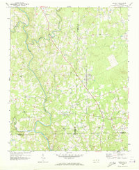
1968 · Bennett
USGS Topo · 1:24,000
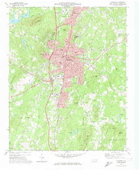
1970 · Asheboro
USGS Topo · 1:24,000