Old Maps of Southern Pines, North Carolina for Metal Detecting
Plan your next treasure hunt with 27 historic maps of Southern Pines. Find old homesites, ghost towns, trails, and gathering spots that may be lost to time — perfect for identifying promising metal detecting locations.
- Locate forgotten sites: Uncover places like long-lost settlements, abandoned rail lines, or gathering spots.
- Plan better hunts: Use map overlays combined with LiDAR or satellite views to narrow in on historically rich areas.
- Made for detectorists: Thousands of hobbyists use these maps to discover relics, coins, and hidden history.
Use these historic maps to boost your research and find new opportunities beneath the surface of Southern Pines.
Southern Pines, NC maps
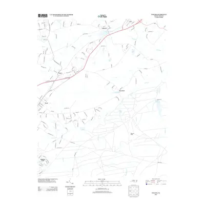
(27)- 1948 Map of Southern Pines, 1954 Print
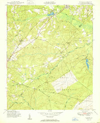
 1948 Southern Pines1954 Print · USGSThe North Carolina Sandhills were a hub of transit and military expansion just after the war. This survey allows researchers to trace family landmarks like St Mathews Ch and Taylor Town or map the early footprints of Fort Bragg and Camp Mackall.
 - 1950 Map of Niagara
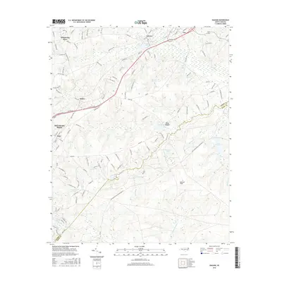
 1950 Niagara1950 Print · USGSIn the Sand Hills during the late 1940s, the rural landscapes of Moore and Hoke Counties were defined by rail corridors and expanding military grounds. Researchers can trace family sites like McCrimmons Chapel, the Goins Cem, and the small rail settlements of Niagara and Manly.
 - 1950 Map of Southern Pines
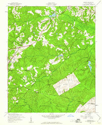
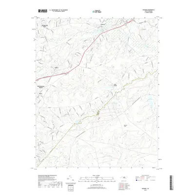
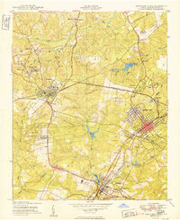 1950 Southern Pines1950 Print · USGSMoore County transitioned from rural timberland to a premier resort hub during the mid-century, as shown in this detailed survey of the Sandhills. Researchers can trace the development of Pinehurst and Southern Pines, locating landmarks like the Village Chapel, The Ark Sch, and Bethesda Church.
 - 1953 Map of Raleigh, 1965 Print
 1953 Raleigh1965 Print · USGSCentral North Carolina in the early sixties shows a landscape of growing towns and military hubs before the full expansion of the interstate system. Genealogists can trace family footprints across the Piedmont through Wake Forest, Siler City, and the large Fort Bragg Military Reservation.4 unique versions available
 - 1954 Map of Raleigh
 1954 Raleigh1954 Print · USGSThe North Carolina Piedmont and Sandhills are captured in the mid-fifties during a period of steady regional growth. Genealogists and historians can trace the development of towns like Siler City or locate landmarks such as Falls of Neuse and Camp Mackall.
 - 1957 Map of Southern Pines, 1960 Print
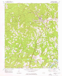
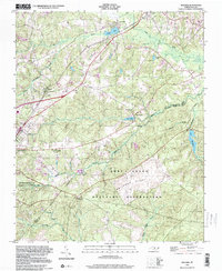
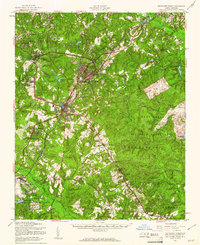 1957 Southern Pines1960 Print · USGSThe North Carolina Sand Hills come into focus in the late fifties, centered on the growing resorts and rail hubs of Moore County. Researchers can trace historic lineages through local landmarks like Old Notre Dame Academy, McCrimmons Chapel, and the Silver Spring Cem.
 - 1957 Map of Southern Pines, 1960 Print
 1957 Southern Pines1960 Print · USGSThe Sandhills of Moore County are shown here in the late fifties as the resort and rail hub centers reach their mid-century form. Researchers can trace the development of Pinehurst and Southern Pines, identifying landmarks like the Pinehurst Trotting Track, Village Chapel, and the Seaboard Air Line railroad.4 unique versions available
 - 1957 Map of Niagara, 1960 Print
 1957 Niagara1960 Print · USGSMoore County in the late fifties shows the steady influence of the railroad and the expansion of the Fort Bragg Military Reservation. Researchers can locate specific sites like the Old Notre Dame Academy, Gains Cem, and the village of Manly.5 unique versions available
 - 1974 Map of Carthage, 1976 Print
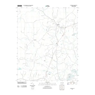
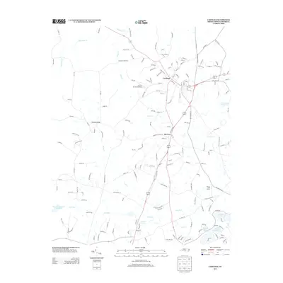
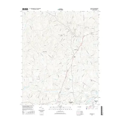
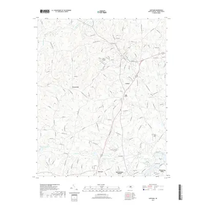
 1974 Carthage1976 Print · USGSCarthage and the surrounding Moore County countryside are shown here in the mid-seventies during a period of residential and recreational growth. Researchers can find numerous rural landmarks, from Goodwin State Forest to historic sites like Doubs Chapel and the Farm Life Sch.2 unique versions available
 - 1976 Map of Southern Pines, 1978 Print
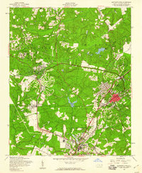
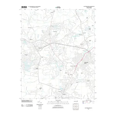
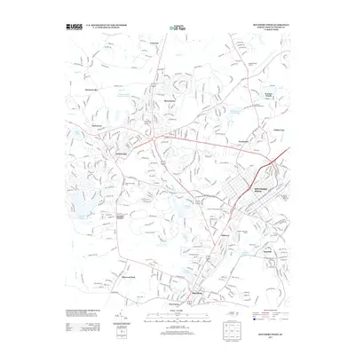
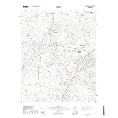
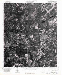 1976 Southern Pines1978 Print · USGSMid-seventies Moore County is revealed through detailed aerial imagery, showing the rapid evolution of the Sandhills region. Trace the development patterns between Southern Pines, Pinehurst, and Aberdeen to see how these communities were beginning to merge.
 - 1976 Map of Niagara, 1978 Print
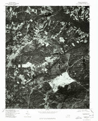 1976 Niagara1978 Print · USGSMoore County as it appeared in the mid-seventies is captured in this detailed orthophotoquad, showing the rural landscape just as suburban expansion began. Local historians can trace the footprint of early development near Lake Niagara and study the 1976 patterns of forestry and farmland.
 - 1982 Map of Southern Pines, 1983 Print
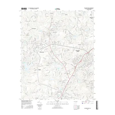
 1982 Southern Pines1983 Print · USGSCentral North Carolina in the early eighties shows a landscape defined by military expansion and historic rail corridors. Researchers can trace the legacy of the Seaboard Coast Line through Pinehurst or locate landmarks like the Town Creek Indian Mound State Historic Site.
 - 1998 Map of Niagara, 2000 Print
 1998 Niagara2000 Print · USGSMoore and Hoke County see the meeting of military and civilian life in the late nineties as the sandhills region grew. Researchers can trace the boundaries of the Fort Bragg Military Reservation and locate local landmarks like the Old Notre Dame Academy and Goins Cem.
 - 2010 Map of Carthage, 2010 Print
 2010 Carthage2010 Print · USGSCovers Southern Pines, including Whispering Pines, Carthage, and other nearby areas
 - 2010 Map of Southern Pines, 2010 Print
 2010 Southern Pines2010 Print · USGSCovers Southern Pines, including Pinehurst, Aberdeen, and other nearby areas
 - 2013 Map of Carthage, 2013 Print
 2013 Carthage2013 Print · USGSCovers Southern Pines, including Whispering Pines, Carthage, and other nearby areas
 - 2013 Map of Niagara, 2013 Print
 2013 Niagara2013 Print · USGSCovers Southern Pines, including Whispering Pines, Vass, and other nearby areas
 - 2013 Map of Southern Pines, 2013 Print
 2013 Southern Pines2013 Print · USGSCovers Southern Pines, including Pinehurst, Aberdeen, and other nearby areas
 - 2016 Map of Southern Pines, 2016 Print
 2016 Southern Pines2016 Print · USGSCovers Southern Pines, including Pinehurst, Aberdeen, and other nearby areas
 - 2016 Map of Carthage, 2016 Print
 2016 Carthage2016 Print · USGSCovers Southern Pines, including Whispering Pines, Carthage, and other nearby areas
 - 2016 Map of Niagara, 2016 Print
 2016 Niagara2016 Print · USGSCovers Southern Pines, including Whispering Pines, Vass, and other nearby areas
 - 2019 Map of Carthage, 2019 Print
 2019 Carthage2019 Print · USGSCovers Southern Pines, including Whispering Pines, Carthage, and other nearby areas
 - 2019 Map of Niagara, 2019 Print
 2019 Niagara2019 Print · USGSCovers Southern Pines, including Whispering Pines, Vass, and other nearby areas
 - 2019 Map of Southern Pines, 2019 Print
 2019 Southern Pines2019 Print · USGSCovers Southern Pines, including Pinehurst, Aberdeen, and other nearby areas
 - 2022 Map of Niagara, 2022 Print
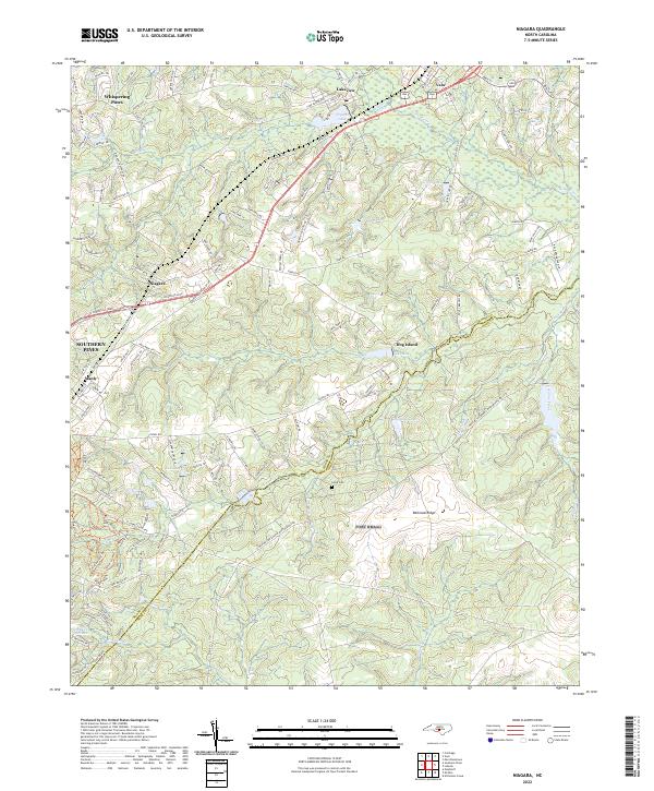 2022 Niagara2022 Print · USGSThe Moore County Sandhills come into focus here in the early 2020s, showing a landscape defined by golf-adjacent residential growth and traditional southern hamlets. Genealogists and researchers can trace the area surrounding Goins Cem or follow the rail-aligned history of Niagara and Manly.
Showing maps 1-25 of 27
Top cities near Southern Pines
- Sanford historical maps
- Pinehurst historical maps
- Aberdeen historical maps
- Seven Lakes historical maps
- Raeford historical maps
- Whispering Pines historical maps
See more
Top neighborhoods of Southern Pines
Frequently asked questions
- What are the different types of historical maps available for Southern Pines?
- What is the oldest map of Southern Pines?
- Where can I purchase historical maps of Southern Pines for my home or office?
- Where can I download high-res historical maps of Southern Pines?
- Are there historical topographic maps available for Southern Pines?
- Is there historical aerial imagery available for Southern Pines?
- Where are historical maps of Southern Pines sourced from?