Old Maps of Galatia, North Carolina for Academic Research
Study the evolution of Galatia with 9 high-resolution historic maps. Whether you're teaching, researching, or modeling changes in land use, these maps provide essential visual documentation of urban, environmental, and geographic change.
- Analyze long-term change: Track patterns in development, transportation, and natural features.
- Ideal for environmental or urban studies: Support academic projects with primary historical map data.
- Use in the classroom or lab: Educators and researchers rely on these maps to bring historical context to life.
These maps are a powerful tool for teaching, research, and visualizing how Galatia has changed over the decades.
Galatia, NC maps
(9)- 1953 Map of Norfolk, 1954 Print
 1953 Norfolk1954 Print · USGSCoastal Virginia and northeastern North Carolina appear here during the post-war industrial boom, showing the critical rail-and-sea connections of Hampton Roads. Genealogists can trace family roots through rural landmarks like Gethsemane Ch, the Caledonia State Prison Farm, and the vast interior of the Dismal Swamp.4 unique versions available
 - 1975 Map of Galatia, 1977 Print
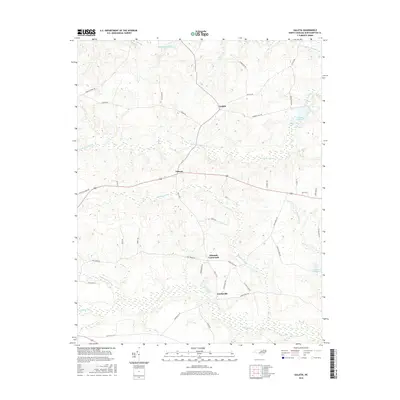
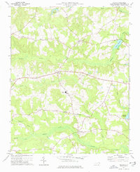 1975 Galatia1977 Print · USGSNorthampton County's rural crossroads and coastal plain wetlands are captured here as they appeared in the mid-1970s. Genealogists and local historians can trace family locations through numerous rural gravesites and landmarks like St Johns Ch, Creeksville, and Debary Millpond.
 - 1985 Map of Roanoke Rapids
 1985 Roanoke Rapids1985 Print · USGSNorthern North Carolina's river-driven economy is on display here in the mid-1980s, from the hydro-power at Roanoke Rapids to the rural millponds. Genealogists can trace family lands near Wiccacanee Pond, Mush Island, or the remote Urahaw Swamp.2 unique versions available
 - 1997 Map of Galatia, 2000 Print
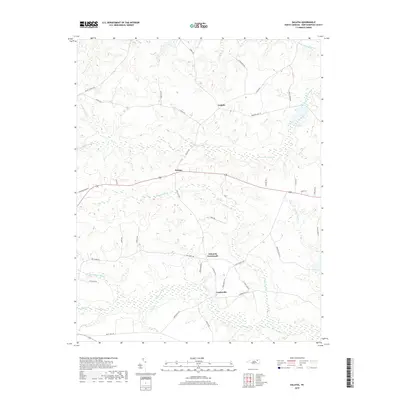
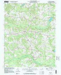 1997 Galatia2000 Print · USGSNorthampton County in the late nineties is a landscape of established crossroads and deep creek bottoms. Genealogists and local historians can trace family locations near Edwards Crossroads, locate the County High Sch, or find ancestral sites by Zion Ch and Creeksville.
 - 2010 Map of Galatia, 2010 Print
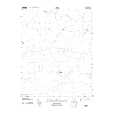 2010 Galatia2010 Print · USGSCovers Galatia, including Creeksville, Edwards Crossroads, and other nearby areas
 - 2013 Map of Galatia, 2013 Print
 2013 Galatia2013 Print · USGSCovers Galatia, including Creeksville, Edwards Crossroads, and other nearby areas
 - 2016 Map of Galatia, 2016 Print
 2016 Galatia2016 Print · USGSCovers Galatia, including Creeksville, Edwards Crossroads, and other nearby areas
 - 2019 Map of Galatia, 2019 Print
 2019 Galatia2019 Print · USGSCovers Galatia, including Creeksville, Edwards Crossroads, and other nearby areas
 - 2022 Map of Galatia, 2022 Print
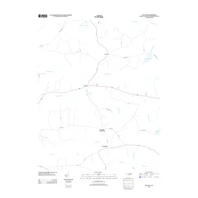
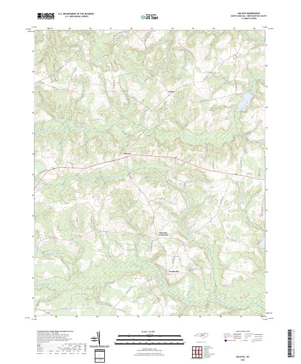 2022 Galatia2022 Print · USGSNorthampton County's agricultural heartland is documented here in the early 2020s, showing the enduring character of its rural crossroads. Researchers can trace local heritage through sites like Galatia, Creeksville, and historic mill routes including Deberrys Mill Rd.
End of results
Showing maps 1-9 of 9
Top cities near Galatia
- Murfreesboro historical maps
- Rich Square historical maps
- Woodland historical maps
- Conway historical maps
- Jackson historical maps
- Seaboard historical maps
See more
Frequently asked questions
- What are the different types of historical maps available for Galatia?
- What is the oldest map of Galatia?
- Where can I purchase historical maps of Galatia for my home or office?
- Where can I download high-res historical maps of Galatia?
- Are there historical topographic maps available for Galatia?
- Is there historical aerial imagery available for Galatia?
- Where are historical maps of Galatia sourced from?