Old Maps of Belgrade, North Carolina for Academic Research
Study the evolution of Belgrade with 14 high-resolution historic maps. Whether you're teaching, researching, or modeling changes in land use, these maps provide essential visual documentation of urban, environmental, and geographic change.
- Analyze long-term change: Track patterns in development, transportation, and natural features.
- Ideal for environmental or urban studies: Support academic projects with primary historical map data.
- Use in the classroom or lab: Educators and researchers rely on these maps to bring historical context to life.
These maps are a powerful tool for teaching, research, and visualizing how Belgrade has changed over the decades.
Belgrade, NC maps
(14)- 1942 Map of Maysville
 1942 Maysville1942 Print · USGSCoastal North Carolina during the early years of the war is captured here through its networks of swamp forests and river settlements. Genealogists and local historians can trace the rural landscape through White Oak Sch, the Hadnot Ch, and rail stops along the Atlantic Coast Line Railroad.
 - 1948 Map of Maysville
 1948 Maysville1948 Print · USGSCoastal North Carolina's river-fed lowlands come to life in this late-forties survey of the Jones and Onslow county borderlands. Genealogists and local historians can trace the rural landscape from Polloksville down to Stella, locating landmarks like Tabernacle Sch and Lees Ch.
 - 1953 Map of Beaufort, 1965 Print
 1953 Beaufort1965 Print · USGSThe North Carolina coastline in the mid-fifties reveals an era of massive military expansion alongside traditional maritime life. Genealogists can trace family names and small settlements from Sealevel to Sneads Ferry or locate landmarks like Fort Macon.3 unique versions available
 - 1954 Map of Beaufort
 1954 Beaufort1954 Print · USGSCoastal North Carolina in the mid-fifties reveals a landscape of strategic military installations, sprawling wetlands, and thriving rail towns. Genealogists and historians can trace the foundations of Wilmington, the rural reaches of Duplin County, and shoreline landmarks like Cape Lookout and Carolina Beach.
 - 1972 Map of Beaufort, 1975 Print
 1972 Beaufort1975 Print · USGSThe North Carolina coast in the early seventies shows a landscape defined by massive military bases and coastal sounds. Trace rural family roots at Sarecta and Catherine Lake or explore the barrier islands of the Cape Lookout National Seashore.
 - 1984 Map of Maysville
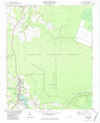 1984 Maysville1984 Print · USGSThe coastal plains of Jones and Onslow Counties are captured here in the early eighties, centered on the railroad hub of Maysville. Researchers can trace local heritage through landmarks like White Oak Church, the Quarry near Belgrade, and the Seaboard rail line.2 unique versions available
 - 1986 Map of New River
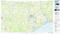 1986 New River1986 Print · USGSCoastal Onslow County in the mid-eighties shows a landscape shaped by military expansion and the preserved wetlands of the Carolina coast. Genealogists and historians can trace the foundations of Jacksonville and small outlying communities like Richlands and Swansboro.
 - 1991 Map of New River
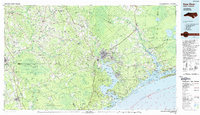 1991 New River1991 Print · USGSCoastal Onslow and Pender counties appear here in the early 1990s as the military and maritime economies matured. Researchers can trace the expansive Camp Lejeune grounds and find rural landings like Fulcher Landing and Sanders Landing.
 - 1994 Map of Maysville, 1997 Print
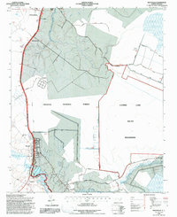 1994 Maysville1997 Print · USGSThe coastal plains of eastern North Carolina meet the deep swamps of the Croatan National Forest in the 1990s. Genealogists and local historians can trace family locations near Temple Zions Chapel, Lees Methodist Chapel, and the historic banks of the White Oak River.2 unique versions available
 - 2011 Map of Maysville, 2011 Print
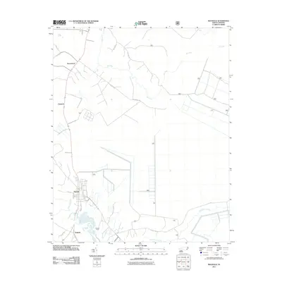 2011 Maysville2011 Print · USGSCoastal plain settlements and industrial sites appear south of New Bern during the early twenty-first century. Genealogists and researchers can trace local landmarks like Belgrade Quarry, Donnie S Sawmill, and family-named routes such as Yates Ln.
 - 2013 Map of Maysville, 2013 Print
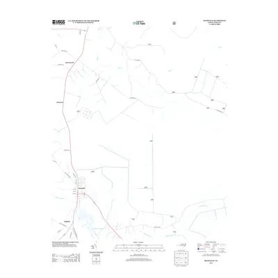 2013 Maysville2013 Print · USGSThe coastal plain of Jones County is shown in detail here just after the turn of the decade. Researchers can trace local property lines and community layouts in Maysville and Belgrade or follow the waters of the White Oak River and Mill Cr.
 - 2016 Map of Maysville, 2016 Print
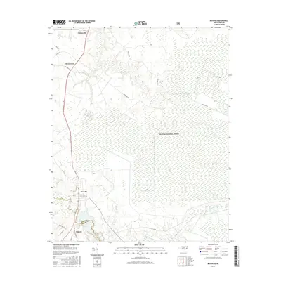 2016 Maysville2016 Print · USGSCoastal plain settlements and timberlands meet in this Jones County landscape during the mid-2010s. Trace the rural crossroads of Maysville and Belgrade near the White Oak River or explore the vast reaches of the Croatan National Forest.
 - 2019 Map of Maysville, 2019 Print
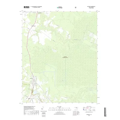 2019 Maysville2019 Print · USGSMaysville and the surrounding wetlands of Jones County are captured here just before the turn of the decade. Genealogists and local historians can trace the street layouts of Maysville or locate rural landmarks like Donnie's Sawmill and Ravenswood.
 - 2022 Map of Maysville, 2022 Print
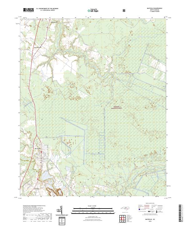 2022 Maysville2022 Print · USGSCoastal North Carolina's river-driven geography is on full display in this modern survey of the Jones County corridor. Researchers can trace the path of the White Oak River past family-linked sites like Donnie's Sawmill and through the streets of Maysville and Pollocksville.
End of results
Showing maps 1-14 of 14
Top cities near Belgrade
- Jacksonville historical maps
- New Bern historical maps
- Piney Green historical maps
- Half Moon historical maps
- James City historical maps
- Trent Woods historical maps
See more
Frequently asked questions
- What are the different types of historical maps available for Belgrade?
- What is the oldest map of Belgrade?
- Where can I purchase historical maps of Belgrade for my home or office?
- Where can I download high-res historical maps of Belgrade?
- Are there historical topographic maps available for Belgrade?
- Is there historical aerial imagery available for Belgrade?
- Where are historical maps of Belgrade sourced from?