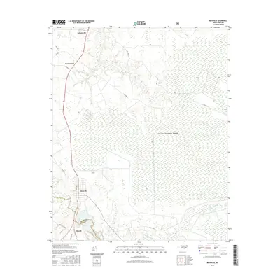
2016 Map of Maysville
USGS Topo · Published 2016About this map
The Croatan National Forest dominates the eastern expanse of this 2016 survey, representing a vast wetland and timber landscape at the border of Jones and Onslow Counties. The White Oak River winds through the southwestern corner, serving as a historic natural corridor for the settlements of Maysville and Belgrade. This area is characterized by a network of drainage creeks such as Mill Cr and Black Swamp Cr, which carve through the low-lying coastal plain topography.
Find a feature on this map
24 named features on this map. Tap any name to fly to it.
Don’t see what you’re looking for? This feature index may not catch every label — zoom into the map to look around manually.
Map Details
Editions of this 2016 Maysville Map
This is the sole edition of this map. No revisions or reprints were ever made.
Other maps of this area

1901 · New Bern
USGS Topo · 1:62,500

1903 · New Bern
USGS Topo · 1:62,500

1903 · Trent River
USGS Topo · 1:62,500

1904 · Trent River
USGS Topo · 1:62,500

1942 · Maysville
USGS Topo · 1:62,500

1943 · Jacksonville
USGS Topo · 1:62,500

1948 · Maysville
USGS Topo · 1:62,500

1950 · Pollocksville
USGS Topo · 1:24,000

1950 · New Bern
USGS Topo · 1:24,000

1953 · Rocky Mount
USGS Topo · 1:250,000