
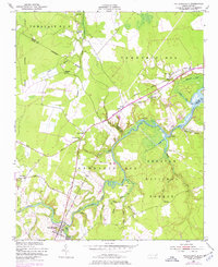
1950 Map of Pollocksville
USGS Topo · Published 1952About this map
The Trent River snakes through a landscape defined by its waterways and wetlands, serving as the boundary between Craven Co and Jones Co. This era of the mid-20th century shows the established rural community of Pollocksville at the southern edge, connected to the northern reaches by the Atlantic and East Carolina Railroad. The map captures the interface between managed lands and the wilder reaches of the Croatan National Forest, where the Island Creek Fire Tower stands watch over the pine and swamp timberlands.
Find a feature on this map
50 named features on this map. Tap any name to fly to it.
Don’t see what you’re looking for? This feature index may not catch every label — zoom into the map to look around manually.
Map Details
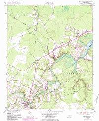
Editions of this 1950 Pollocksville Map
3 editions found
Other maps of this area

1901 · New Bern
USGS Topo · 1:62,500

1903 · New Bern
USGS Topo · 1:62,500

1903 · Trent River
USGS Topo · 1:62,500

1904 · Trent River
USGS Topo · 1:62,500

1942 · Maysville
USGS Topo · 1:62,500

1943 · Jacksonville
USGS Topo · 1:62,500

1948 · Maysville
USGS Topo · 1:62,500

1950 · New Bern
USGS Topo · 1:24,000

1953 · Rocky Mount
USGS Topo · 1:250,000

1953 · Beaufort
USGS Topo · 1:250,000