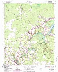
1950 Map of Pollocksville
USGS Topo · Published 1983About this map
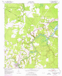
The Trent River meanders through this landscape, serving as a historic corridor for maritime commerce and settlement in the mid-20th century. Along its banks, several river landings like Debruhls Landing and Whitford Landing highlight a period when the river was central to local logistics. The town of Pollocksville serves as a primary hub in the south, while the northern reaches transition into the Great Dover Swamp. This era is defined by a rural economy supported by the Seaboard Coast Line railroad and a network of small communities, including Simmons Corner and Rhems. Cultural life is anchored by local institutions such as Wesley Chapel and the Rocky Run Sch. The eastern half of the map is dominated by the protected timberlands of the Croatan National Forest, where the Island Creek Fire Tower stands as a sentinel over the game lands and wetlands.
Find a feature on this map
42 named features on this map. Tap any name to fly to it.
Don’t see what you’re looking for? This feature index may not catch every label — zoom into the map to look around manually.
Map Details
Editions of this 1950 Pollocksville Map
3 editions found
Other maps of this area

1901 · New Bern
USGS Topo · 1:62,500

1903 · New Bern
USGS Topo · 1:62,500

1903 · Trent River
USGS Topo · 1:62,500

1904 · Trent River
USGS Topo · 1:62,500

1942 · Maysville
USGS Topo · 1:62,500

1943 · Jacksonville
USGS Topo · 1:62,500

1948 · Maysville
USGS Topo · 1:62,500

1950 · Pollocksville
USGS Topo · 1:24,000

1950 · New Bern
USGS Topo · 1:24,000

1953 · Rocky Mount
USGS Topo · 1:250,000