Old Maps of Fulcher Landing, North Carolina for Hiking & Exploration
Hike through history with 13 historic maps of Fulcher Landing. Explore old trails, ghost towns, and forgotten backroads — perfect for outdoor adventurers and local explorers.
- Rediscover forgotten places: Map out old mining camps, roads, and footpaths that no longer exist on modern maps.
- Layer with modern tools: Combine with LiDAR or satellite views to plan hikes through historical terrain.
- Made for exploration: Popular among hikers, overlanders, and local history lovers.
Use these maps to find adventure and explore the hidden past of Fulcher Landing.
Fulcher Landing, NC maps
(13)- 1948 Map of New River
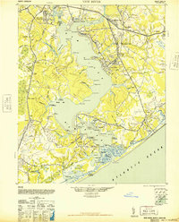 1948 New River1948 Print · USGSCoastal Onslow County underwent a massive transformation just after the war as the Marine Corps expanded its footprint along the New River. Researchers can trace early military infrastructure at the Peters Point Field Glider Base alongside civilian landmarks like Sneads Ferry and Mumfords Mill.2 unique versions available
 - 1952 Map of Sneads Ferry, 1955 Print
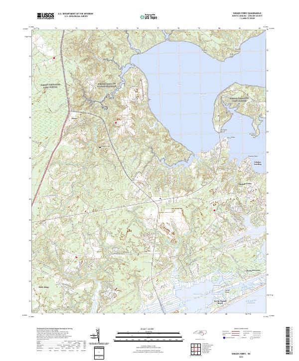
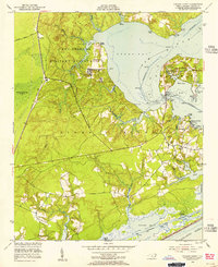 1952 Sneads Ferry1955 Print · USGSThe Onslow County coastline comes alive in this mid-century survey, capturing the maritime character of the Sneads Ferry area before modern development. Genealogists can trace old family sites and rural landmarks like Little Zion Ch, Carrels Chapel, and the river landings at Fulcher and Sandford Landing.5 unique versions available
 - 1953 Map of Beaufort, 1965 Print
 1953 Beaufort1965 Print · USGSThe North Carolina coastline in the mid-fifties reveals an era of massive military expansion alongside traditional maritime life. Genealogists can trace family names and small settlements from Sealevel to Sneads Ferry or locate landmarks like Fort Macon.3 unique versions available
 - 1954 Map of Beaufort
 1954 Beaufort1954 Print · USGSCoastal North Carolina in the mid-fifties reveals a landscape of strategic military installations, sprawling wetlands, and thriving rail towns. Genealogists and historians can trace the foundations of Wilmington, the rural reaches of Duplin County, and shoreline landmarks like Cape Lookout and Carolina Beach.
 - 1972 Map of Beaufort, 1975 Print
 1972 Beaufort1975 Print · USGSThe North Carolina coast in the early seventies shows a landscape defined by massive military bases and coastal sounds. Trace rural family roots at Sarecta and Catherine Lake or explore the barrier islands of the Cape Lookout National Seashore.
 - 1986 Map of New River
 1986 New River1986 Print · USGSCoastal Onslow County in the mid-eighties shows a landscape shaped by military expansion and the preserved wetlands of the Carolina coast. Genealogists and historians can trace the foundations of Jacksonville and small outlying communities like Richlands and Swansboro.
 - 1991 Map of New River
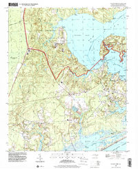
 1991 New River1991 Print · USGSCoastal Onslow and Pender counties appear here in the early 1990s as the military and maritime economies matured. Researchers can trace the expansive Camp Lejeune grounds and find rural landings like Fulcher Landing and Sanders Landing.
 - 1997 Map of Sneads Ferry, 2000 Print
 1997 Sneads Ferry2000 Print · USGSCoastal Onslow County at the close of the twentieth century shows a landscape shared by the Camp Lejeune Military Reservation and the historic fishing village of Sneads Ferry. Genealogists and local historians can trace family roots through landmarks like Little Zion Ch, Yopps Ch, and old waterfront spots like Sandford Landing.
 - 2010 Map of Sneads Ferry, 2010 Print
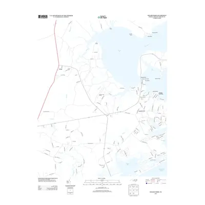
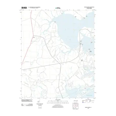 2010 Sneads Ferry2010 Print · USGSCovers Fulcher Landing, including Sneads Ferry, Holly Ridge, and other nearby areas
 - 2013 Map of Sneads Ferry, 2013 Print
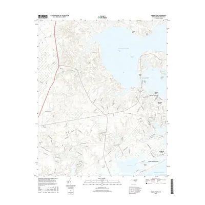
 2013 Sneads Ferry2013 Print · USGSCovers Fulcher Landing, including Sneads Ferry, Holly Ridge, and other nearby areas
 - 2016 Map of Sneads Ferry, 2016 Print
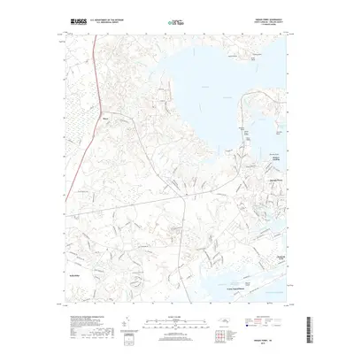
 2016 Sneads Ferry2016 Print · USGSCovers Fulcher Landing, including Sneads Ferry, Holly Ridge, and other nearby areas
 - 2019 Map of Sneads Ferry, 2019 Print
 2019 Sneads Ferry2019 Print · USGSCovers Fulcher Landing, including Sneads Ferry, Holly Ridge, and other nearby areas
 - 2022 Map of Sneads Ferry, 2022 Print
 2022 Sneads Ferry2022 Print · USGSCoastal Onslow County is documented here at the start of the 2020s, showing a landscape of tidal inlets and growing shoreline communities. Researchers can trace family sites near McGlammy Cem or explore the maritime geography of Fulcher Landing and Stones Bay.
End of results
Showing maps 1-13 of 13
Top cities near Fulcher Landing
- Jacksonville historical maps
- Piney Green historical maps
- Swansboro historical maps
- Sneads Ferry historical maps
- Surf City historical maps
- Holly Ridge historical maps
See more
Frequently asked questions
- What are the different types of historical maps available for Fulcher Landing?
- What is the oldest map of Fulcher Landing?
- Where can I purchase historical maps of Fulcher Landing for my home or office?
- Where can I download high-res historical maps of Fulcher Landing?
- Are there historical topographic maps available for Fulcher Landing?
- Is there historical aerial imagery available for Fulcher Landing?
- Where are historical maps of Fulcher Landing sourced from?