Old Maps of Oxbow Crossing, North Carolina for Genealogy
Trace your family roots with 19 historic maps of Oxbow Crossing. These high-res maps reveal old neighborhoods, homesites, landmarks, and streets — helping you uncover where your ancestors lived and how the area evolved over time.
- Explore historic neighborhoods: Identify where your relatives may have lived in the 1800s or 1900s.
- Compare maps over time: Trace the changes in streets, buildings, and landmarks for multi-generational research.
- Perfect for genealogy & ancestry research: Used by family historians and researchers to map out lineage and migration.
These maps are an incredible resource for exploring your personal connection to Oxbow Crossing's past.
Oxbow Crossing, NC maps
(19)- 1946 Map of Chapel Hill, 1958 Print
 1946 Chapel Hill1958 Print · USGSMid-century Chapel Hill and Carrboro emerge from the post-war era as significant academic and transit hubs. Researchers can trace the layout of early neighborhoods, local family burials at Cheek Cem, and rural sites like Mason Farm or Horace Williams Airport.2 unique versions available
 - 1947 Map of Chapel Hill
 1947 Chapel Hill1947 Print · USGSPost-war North Carolina comes into focus through this survey of Chapel Hill and Carrboro. Genealogists and historians can trace family roots through landmarks like Morris Grove Sch, Partin Cem, and the rural settlement at Blackwood.2 unique versions available
 - 1953 Map of Raleigh, 1965 Print
 1953 Raleigh1965 Print · USGSCentral North Carolina in the early sixties shows a landscape of growing towns and military hubs before the full expansion of the interstate system. Genealogists can trace family footprints across the Piedmont through Wake Forest, Siler City, and the large Fort Bragg Military Reservation.4 unique versions available
 - 1954 Map of Raleigh
 1954 Raleigh1954 Print · USGSThe North Carolina Piedmont and Sandhills are captured in the mid-fifties during a period of steady regional growth. Genealogists and historians can trace the development of towns like Siler City or locate landmarks such as Falls of Neuse and Camp Mackall.
 - 1968 Map of White Cross, 1969 Print
 1968 White Cross1969 Print · USGSOrange County's rural crossroads and family settlements are captured here in the late sixties as the region maintained its agrarian character. Researchers can trace historic church sites like Alston Grove Ch and locate family landmarks from Thompson Mtn to Orange Grove.2 unique versions available
 - 1978 Map of Chapel Hill
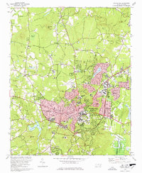 1978 Chapel Hill1978 Print · USGSThe university town of Chapel Hill and Carrboro are shown during their late-seventies expansion. Researchers can locate campus landmarks like Kenan Stadium or trace old rural outposts such as Eubanks and the McDuffie Mem Ch.3 unique versions available
 - 1980 Map of Chapel Hill, 1983 Print
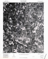 1980 Chapel Hill1983 Print · USGSChapel Hill at the start of the 1980s is captured in high-resolution aerial imagery, showing the town's expansion into the surrounding Orange County woodlands. Trace the development of the university community near University Lake and the rural reaches of Eubanks.
 - 1984 Map of Chapel Hill, 1985 Print
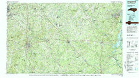 1984 Chapel Hill1985 Print · USGSNorth Carolina’s Piedmont and the northern reaches of the Uwharrie Mountains are captured here in the mid-eighties. Genealogists can trace family roots through rural landmarks like Union Chapel or locate old rail stops along the Seaboard line.
 - 1993 Map of Chapel Hill, 1998 Print
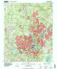 1993 Chapel Hill1998 Print · USGSThe university hub of Chapel Hill and Carrboro is captured here during a period of significant late-century growth. Researchers can trace the development of the University of North Carolina campus, locate family plots in Restland Mem Gardens, and identify landmarks like Iron Mine Hill or Horace Williams Airport.
 - 2010 Map of Chapel Hill, 2010 Print
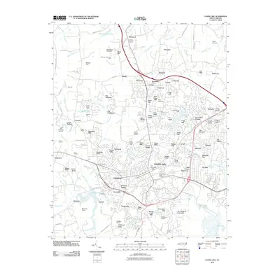 2010 Chapel Hill2010 Print · USGSChapel Hill and Carrboro are shown during a period of significant suburban growth at the dawn of the 2010s. Researchers can locate the University of North Carolina campus, local burial grounds like McCauley Cemetery, and regional landmarks such as University Lake.
 - 2010 Map of White Cross, 2010 Print
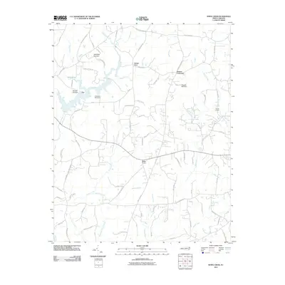 2010 White Cross2010 Print · USGSOrange County's rural crossroads and prominent Piedmont ridges are documented here at the start of the 2010s. Local historians can trace family land via Arthur Minnis Rd, locate the community of White Cross, and map the heights of Pickards Mountain.
 - 2013 Map of Chapel Hill, 2013 Print
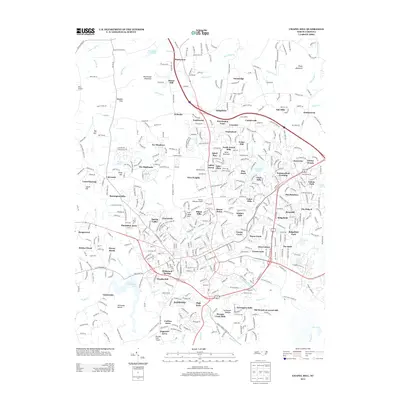 2013 Chapel Hill2013 Print · USGSThe Chapel Hill area in the early 21st century reveals a landscape of expanding residential neighborhoods and historic topographic landmarks. Researchers can trace the development of locales like Glen Lennox or locate aviation history at Horace Williams Airport and Miles Airport.
 - 2013 Map of White Cross, 2013 Print
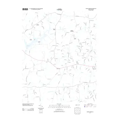 2013 White Cross2013 Print · USGSOrange County's rural character and Piedmont topography are on full display in the early twenty-first century. Local historians can trace family-named landmarks like Pickards Mountain and old community hubs such as Orange Grove or Dodsons Crossroads.
 - 2016 Map of White Cross, 2016 Print
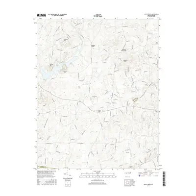 2016 White Cross2016 Print · USGSThe Orange and Chatham county line area is captured here during the mid-2010s, showing a landscape of rural settlements and Piedmont ridges. Genealogists and local historians can trace family-named landmarks like Pickards Mtn and find rural hubs such as White Cross and Dodsons Crossroads.
 - 2016 Map of Chapel Hill, 2016 Print
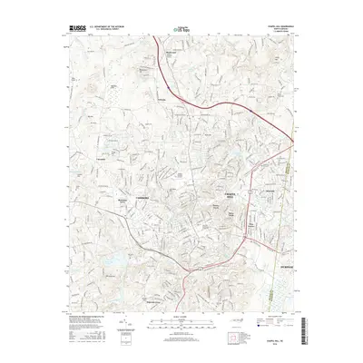 2016 Chapel Hill2016 Print · USGSChapel Hill and Carrboro are shown here in the mid-2010s, capturing the dense residential and academic landscape surrounding the University of North Carolina. Researchers can locate historic burial sites like Tilley Cem and landmarks such as Iron Mine Hill and University Lake.
 - 2019 Map of Chapel Hill, 2019 Print
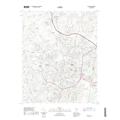 2019 Chapel Hill2019 Print · USGSChapel Hill and the surrounding Piedmont landscape are captured here in the late twenty-tens as the region balances academic growth with its rural roots. Researchers can trace historic family burial sites like West Chapel Hill Cem and landmarks such as Blackwood Mtn or the sprawling Univ of N Carolina at Chapel Hill campus.
 - 2019 Map of White Cross, 2019 Print
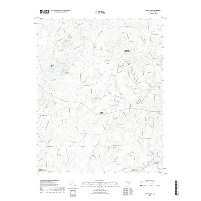 2019 White Cross2019 Print · USGSThe Piedmont landscape west of Chapel Hill is captured here in the late 2010s, showing a rural region defined by its prominent heights and historic crossroads. Researchers can trace family ties at Judea Reform Congregation Cem or explore the terrain around Thompson Mtn and White Cross.
 - 2022 Map of White Cross, 2022 Print
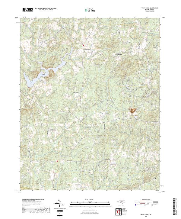 2022 White Cross2022 Print · USGSThe rural uplands of Orange County are documented here in the early twenty-first century, showing the crossroads communities and peaks that define this Piedmont terrain. Researchers can locate family landmarks such as Miles Airport, Judea Reform Congregation Cem, and the settlement at Orange Grove.
 - 2022 Map of Chapel Hill, 2022 Print
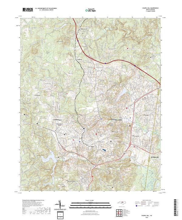 2022 Chapel Hill2022 Print · USGSChapel Hill and the surrounding Piedmont country appear here in the early twenty-first century, showing the dense intersection of university life and residential growth. Genealogists can locate family-named landmarks like the McCauley Cem, Mount Moriah Baptist Church, and Iron Mine Hill.
End of results
Showing maps 1-19 of 19
Frequently asked questions
- What are the different types of historical maps available for Oxbow Crossing?
- What is the oldest map of Oxbow Crossing?
- Where can I purchase historical maps of Oxbow Crossing for my home or office?
- Where can I download high-res historical maps of Oxbow Crossing?
- Are there historical topographic maps available for Oxbow Crossing?
- Is there historical aerial imagery available for Oxbow Crossing?
- Where are historical maps of Oxbow Crossing sourced from?