2000s (21st Century) Maps of Sugar Ridge, North Carolina
Explore 6 historic maps of Sugar Ridge from the 2000s (21st Century). These maps offer a rare glimpse into what life looked like during the 2000s — showing old roads, neighborhoods, homes, and landmarks that have changed or disappeared over time.
Whether you're researching your family's past, planning a metal detecting trip, or studying how Sugar Ridge's landscape evolved across the 2000s, these high-resolution maps are a powerful tool for exploring the history of this region.
- Focus on a specific era: All maps on this page are from the 2000s, giving you a focused view of this time period.
- See what’s changed: Compare century-old streets, trails, and buildings to today's modern landscape using overlays and satellite layers.
- Research with precision: Use these maps for genealogy, historical research, land use analysis, or educational projects.
- View, download, or print: Maps are fully viewable online in high resolution, and can be downloaded or printed for your own records.
Start exploring Sugar Ridge's history through authentic maps from the 2000s. This is your window into the past.
Sugar Ridge, NC maps
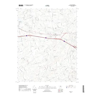
(6)- 2002 Map of Efland
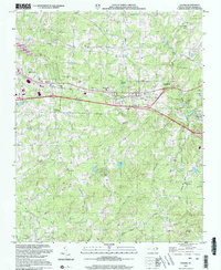 2002 Efland2002 Print · USGSOrange County's rural and rail landscape is captured here at the turn of the millennium as it balances historic settlements with modern transport. Researchers can trace family roots through numerous sites like Fairfield Ch, Cross Roads Cem, and the old Efland Millpond.
 - 2011 Map of Efland, 2011 Print
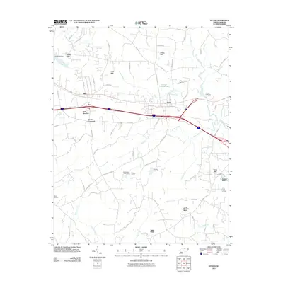 2011 Efland2011 Print · USGSCovers Sugar Ridge, including Mebane, Jordan Oak, and other nearby areas
 - 2013 Map of Efland, 2013 Print
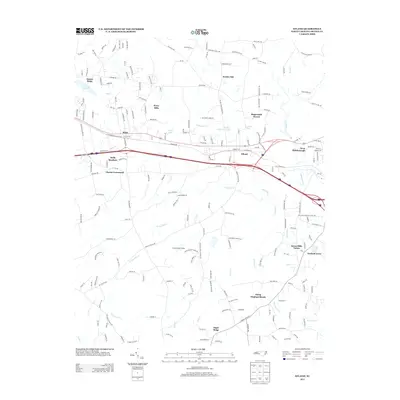 2013 Efland2013 Print · USGSCovers Sugar Ridge, including Mebane, Jordan Oak, and other nearby areas
 - 2016 Map of Efland, 2016 Print
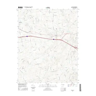 2016 Efland2016 Print · USGSCovers Sugar Ridge, including Mebane, Jordan Oak, and other nearby areas
 - 2019 Map of Efland, 2019 Print
 2019 Efland2019 Print · USGSCovers Sugar Ridge, including Mebane, Jordan Oak, and other nearby areas
 - 2022 Map of Efland, 2022 Print
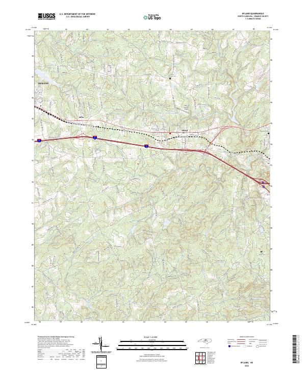 2022 Efland2022 Print · USGSEfland and the surrounding Piedmont hills are shown in detail during the early 2020s as suburban growth meets rural heritage. Researchers can trace the courses of the Eno River and Sevenmile Cr or locate family sites at Rosewood Cem and County Home Cem.
End of results
Showing maps 1-6 of 6
Top cities near Sugar Ridge
- Durham historical maps
- Chapel Hill historical maps
- Burlington historical maps
- Carrboro historical maps
- Mebane historical maps
- Graham historical maps
See more
Frequently asked questions
- What are the different types of historical maps available for Sugar Ridge?
- What is the oldest map of Sugar Ridge?
- Where can I purchase historical maps of Sugar Ridge for my home or office?
- Where can I download high-res historical maps of Sugar Ridge?
- Are there historical topographic maps available for Sugar Ridge?
- Is there historical aerial imagery available for Sugar Ridge?
- Where are historical maps of Sugar Ridge sourced from?