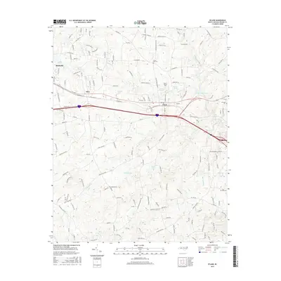
2016 Map of Efland
USGS Topo · Published 2016About this map
The town of Efland and the eastern edge of Mebane anchor this study of the North Carolina Piedmont during the mid-2010s. The landscape is defined by its complex water network, including the Eno River, New Hope Cr, and several significant reservoirs like Lake Michael and Orange-Alamance Lake. Transportation is dominated by the corridor of the Ncrr railroad and the modern highway system, while older rural patterns persist in the surrounding areas. Smaller settlements like Miles and family-named landmarks like Larry F Warren Field sit alongside numerous creek-valley drainages such as Sevenmile Cr and Crabtree Cr. Genealogists will find notable points of interest in the County Home Cem, Rosewood Cem, and Cross Roads Cem, which mark long-standing community centers and burial grounds within this transition zone between urban expansion and rural forest land.
Find a feature on this map
160 named features on this map. Tap any name to fly to it.
Don’t see what you’re looking for? This feature index may not catch every label — zoom into the map to look around manually.
Map Details
Editions of this 2016 Efland Map
This is the sole edition of this map. No revisions or reprints were ever made.
Other maps of this area

1946 · Chapel Hill
USGS Topo · 1:24,000

1947 · Chapel Hill
USGS Topo · 1:31,680

1953 · Raleigh
USGS Topo · 1:250,000

1953 · Greensboro
USGS Topo · 1:250,000

1954 · Greensboro
USGS Topo · 1:250,000

1954 · Raleigh
USGS Topo · 1:250,000

1962 · Greensboro
USGS Topo · 1:250,000

1966 · Greensboro
USGS Topo · 1:250,000

1967 · Cedar Grove
USGS Topo · 1:24,000

1968 · White Cross
USGS Topo · 1:24,000