2000s (21st Century) Maps of Mill Seat Landing, North Carolina
Explore 6 historic maps of Mill Seat Landing from the 2000s (21st Century). These maps offer a rare glimpse into what life looked like during the 2000s — showing old roads, neighborhoods, homes, and landmarks that have changed or disappeared over time.
Whether you're researching your family's past, planning a metal detecting trip, or studying how Mill Seat Landing's landscape evolved across the 2000s, these high-resolution maps are a powerful tool for exploring the history of this region.
- Focus on a specific era: All maps on this page are from the 2000s, giving you a focused view of this time period.
- See what’s changed: Compare century-old streets, trails, and buildings to today's modern landscape using overlays and satellite layers.
- Research with precision: Use these maps for genealogy, historical research, land use analysis, or educational projects.
- View, download, or print: Maps are fully viewable online in high resolution, and can be downloaded or printed for your own records.
Start exploring Mill Seat Landing's history through authentic maps from the 2000s. This is your window into the past.
Mill Seat Landing, NC maps
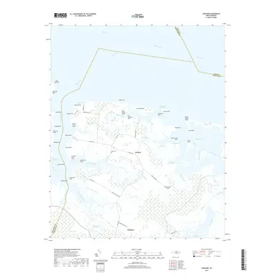
(6)- 2000 Map of Lowland, 2001 Print
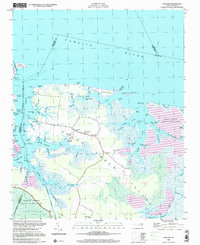 2000 Lowland2001 Print · USGSGoose Creek Island at the turn of the century remains a seafaring landscape defined by its intricate network of tidal marshes and remote landings. Genealogists and local historians can locate the Watson Cem and trace the small community of Lowland and its nearby Antioch Ch.
 - 2010 Map of Lowland, 2010 Print
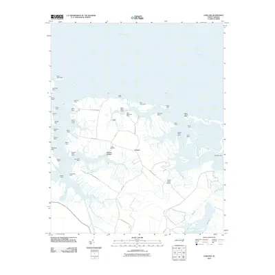 2010 Lowland2010 Print · USGSCovers Mill Seat Landing, including Lowland, Beaufort County, and other nearby areas
 - 2013 Map of Lowland, 2013 Print
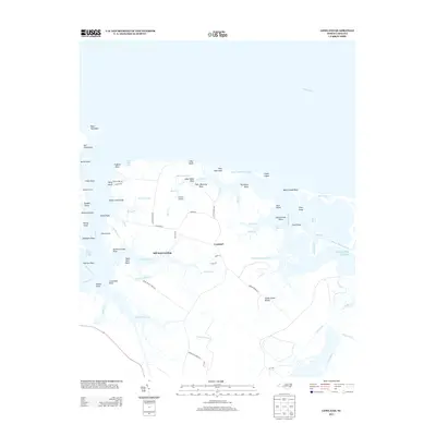 2013 Lowland2013 Print · USGSCovers Mill Seat Landing, including Lowland, Beaufort County, and other nearby areas
 - 2016 Map of Lowland, 2016 Print
 2016 Lowland2016 Print · USGSCovers Mill Seat Landing, including Lowland, Beaufort County, and other nearby areas
 - 2019 Map of Lowland, 2019 Print
 2019 Lowland2019 Print · USGSCovers Mill Seat Landing, including Lowland, Beaufort County, and other nearby areas
 - 2022 Map of Lowland, 2022 Print
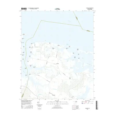
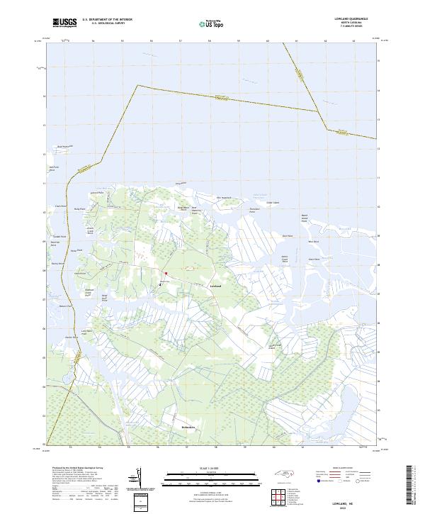 2022 Lowland2022 Print · USGSThe marshlands of Pamlico County and the waters of the Pamlico River dominate this coastal landscape in the early 2020s. Genealogists and local historians can trace family-named landmarks like Watson Cem and coastal points such as Paton Point or Holly Point.
End of results
Showing maps 1-6 of 6
Top cities near Mill Seat Landing
- Bayboro historical maps
- Alliance historical maps
- Aurora historical maps
- Stonewall historical maps
- Vandemere historical maps
- Bath historical maps
See more
Frequently asked questions
- What are the different types of historical maps available for Mill Seat Landing?
- What is the oldest map of Mill Seat Landing?
- Where can I purchase historical maps of Mill Seat Landing for my home or office?
- Where can I download high-res historical maps of Mill Seat Landing?
- Are there historical topographic maps available for Mill Seat Landing?
- Is there historical aerial imagery available for Mill Seat Landing?
- Where are historical maps of Mill Seat Landing sourced from?